Last Updated on January 28, 2022 by Cory Kawa
My first cycling goal for 2021 goal is capturing Durham Destroyer Triple Crown.
I finished The Rookie a couple of weeks back and hope to do I’m Not Worthy in the next week or two, ultimatley capturing the crown as soon as lockdowns and camping allow.
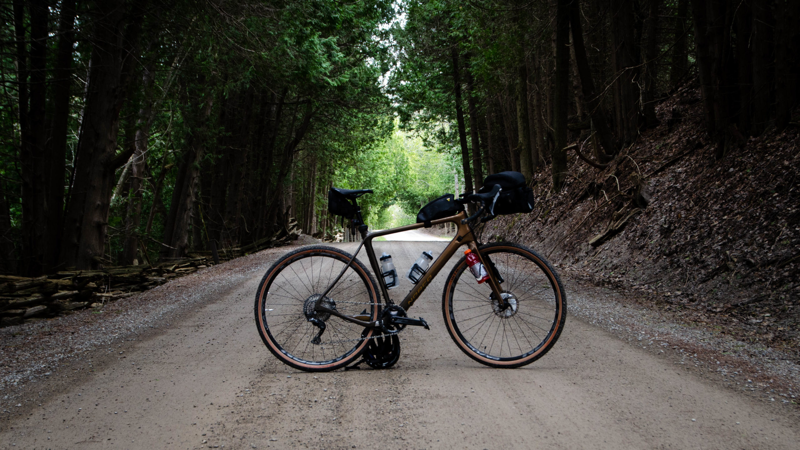
With that in mind, I’ve spent the last few weeks searching for new gravel to explore, building my endurance along the way.
And it was while seeking out those new routes last week that I came across this post by Tiago Varella-Cid, Facebook – The Motherload.
Tiago describes his route as,
A epic challenge route designed for intermediate to advanced gravel riders using 40C or wider tires. A variety of terrain ranging from gravel roads to gnarly unmaintained roads, single track and quiet country roads. This is an adventure route that requires appropriate fitness, preparation and skill. Total actual elevation is closer to 4000m rather than the value estimated by RWGPS.
Tiaga Varella-Cid, Ride with GPS
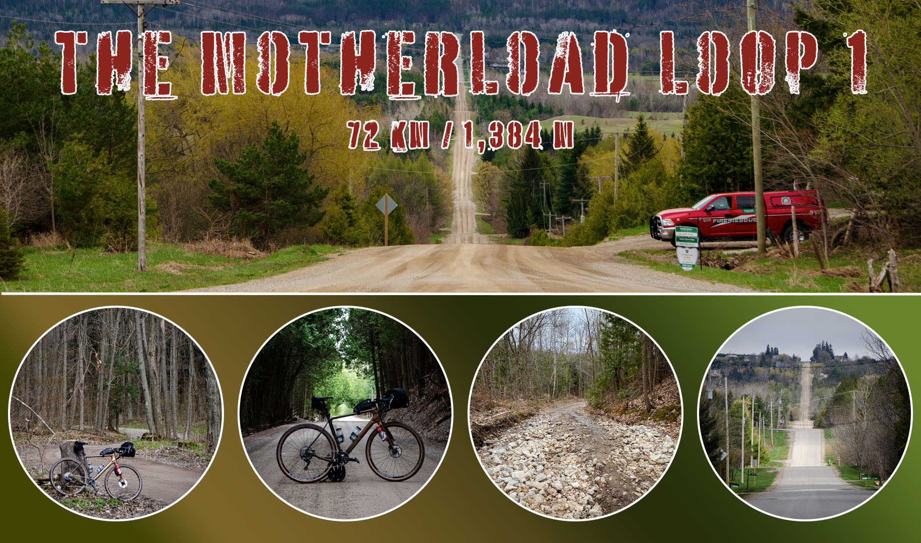
Although designed as a one-day ride for the truly epic rider, the route itself can easily be broken into numerous smaller routes. My plan for the day, 110km, veering NE just after the 50km marker, rejoining the loop in Creemore for returning home.
Unfortunately, due to some crazy winds, a late start, and a few too many Kodak moments, I turned south at the 225km marker, ending with a 75km loop instead.
This is the story of that ride, and the seven hills, as highlighted by my Garmin Edge 530, encountered along the way.
When reviewing my ride file below, note that the first climb through Mono Cliffs Provincial Park is missing due to a GPS error that resulted in two separate files.
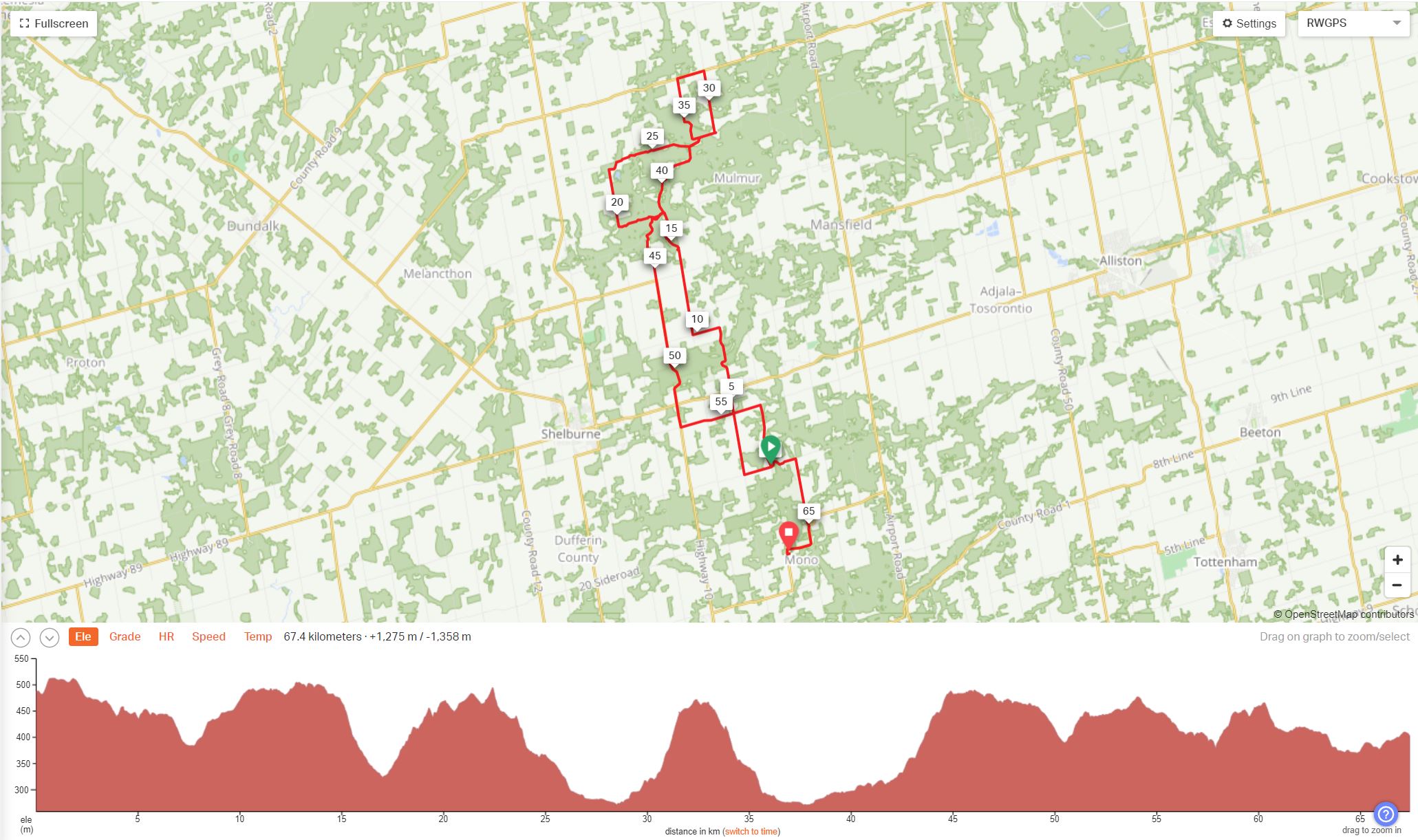
I will also point out that for the purpose of this post, all climb distances and elevation gains are what was captured by my GPS during the ride and based on what I would consider the key parts of those climbs.
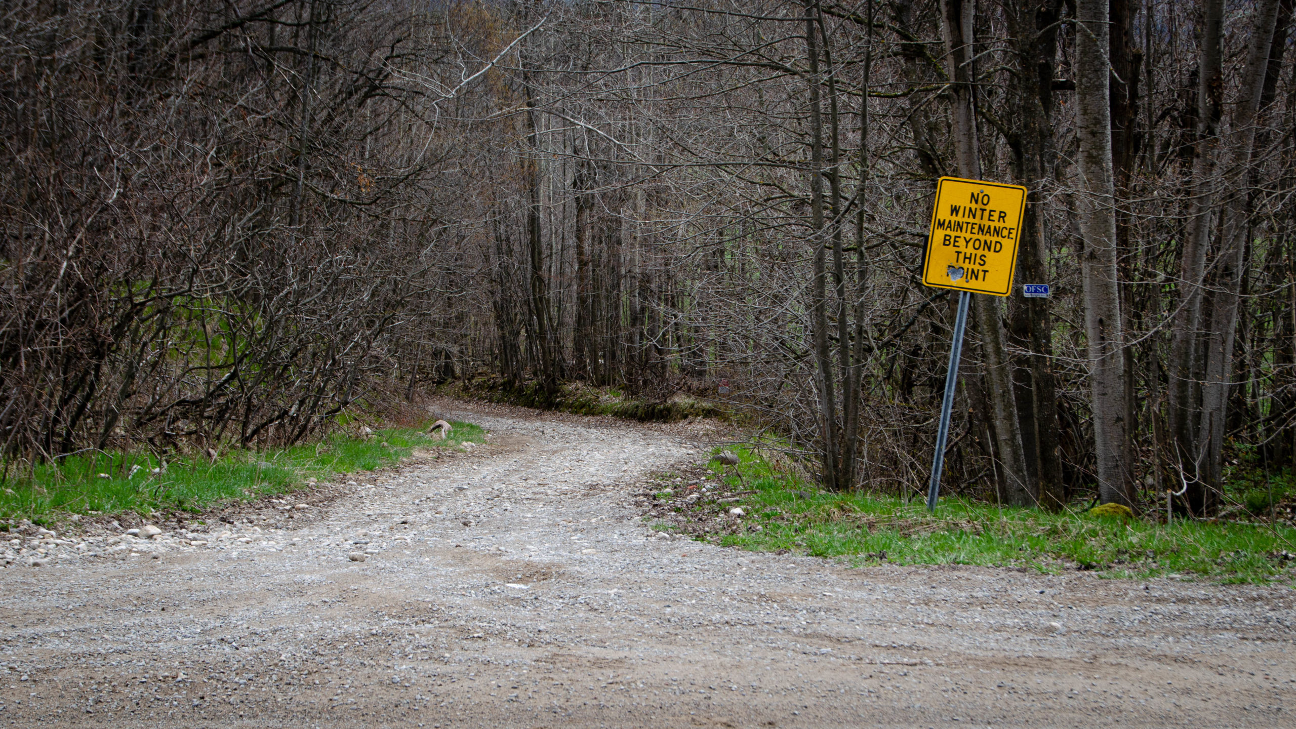
Climb 1 – Mono Cliffs Provincial Park – 1km/70m
When I originally planned the route, the weather looked glorious. The night before, I laid out my shorts and some light clothing options, then moments later, I had to quickly recalibrate. With a forecasted high of 9, cloudy skies, and a sustained wind from the west, west, north of 25, and gusts to 50, it was going to be another resilience-building day.
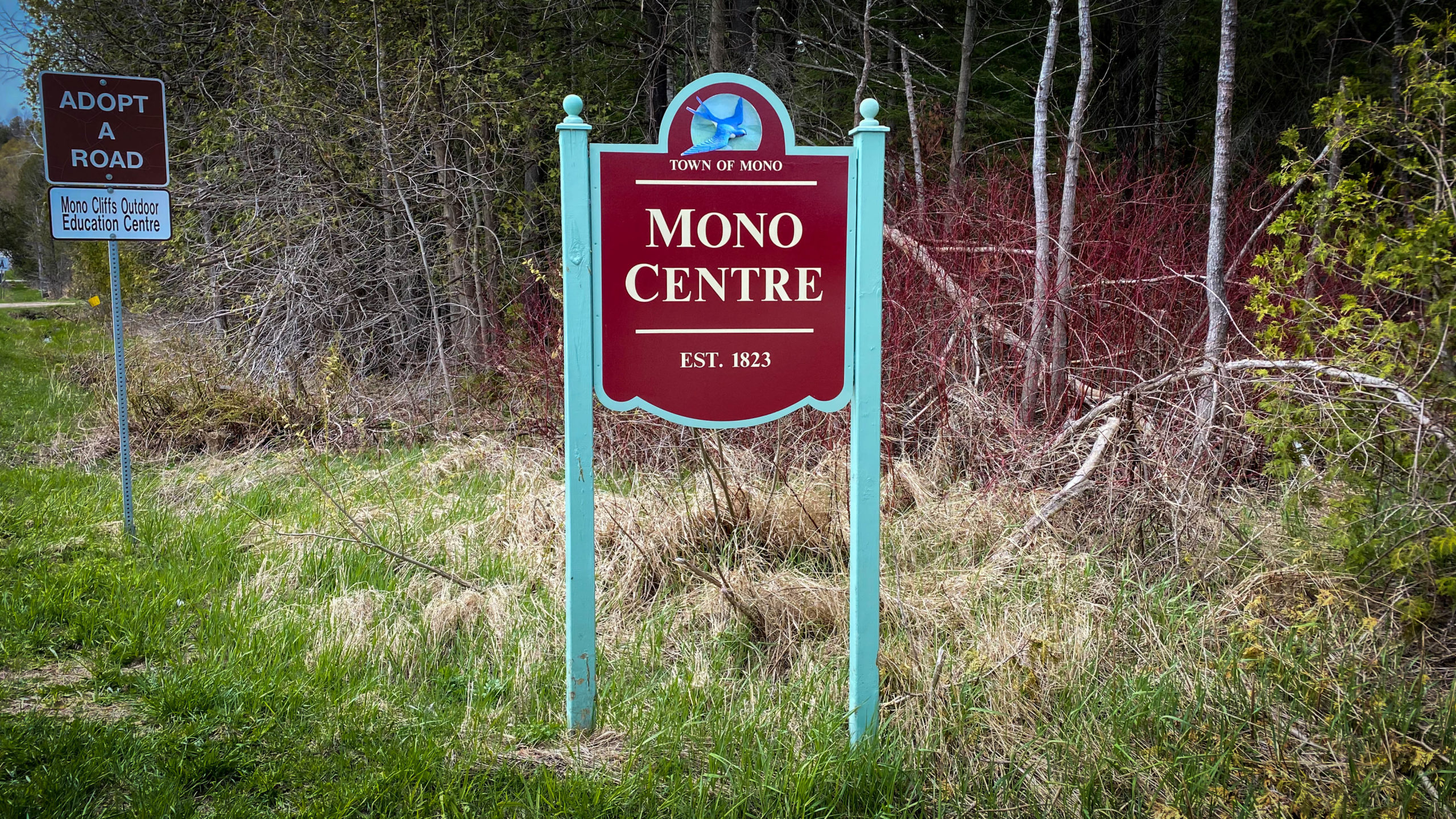
The route itself starts in the Town of Mono Centre, about an hour’s drive northwest from my home base in Vaughan. Save for three other cars with bike racks, there was ample parking at the Mono Centre Park.
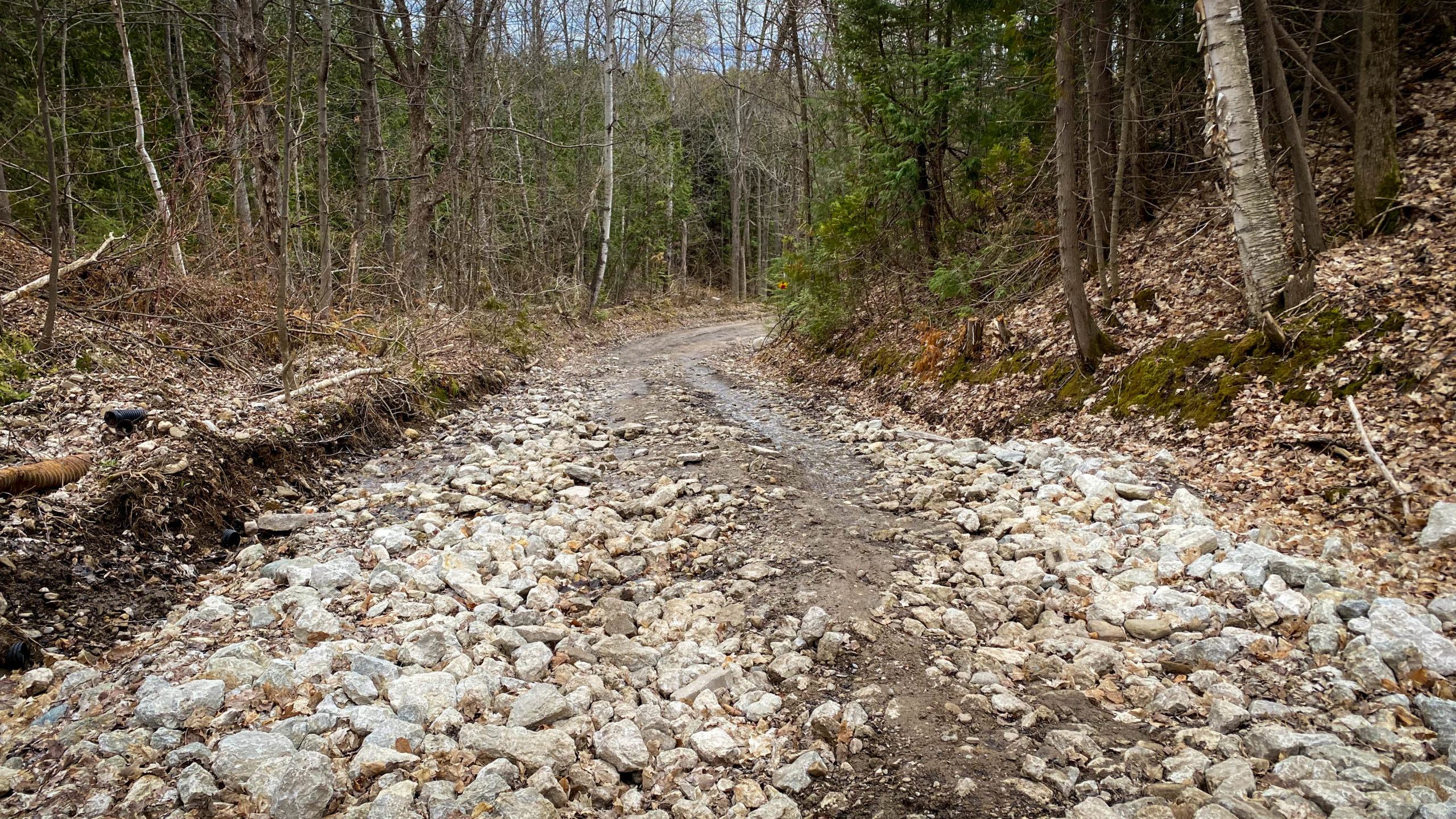
The first part of the ride was a 5km jaunt through some pleasant double track within Mono Cliffs Provincial Park, and the first climb of the day, a relatively mild climb up some rough but rideable, double-track offering the first of many excellent views.
Looking Back at the First Climb 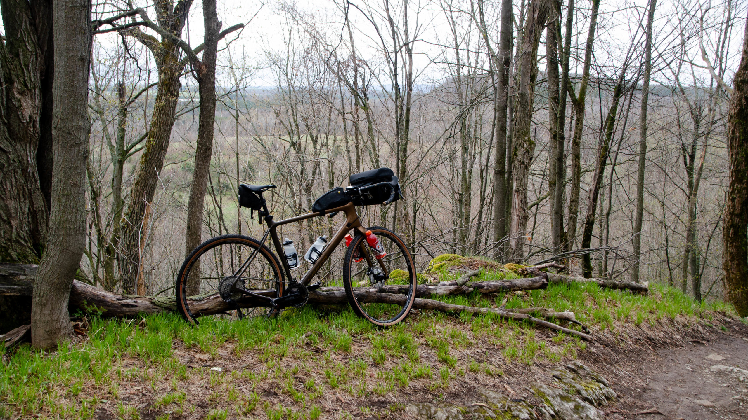
The View at Mono Cliffs Provincial Park
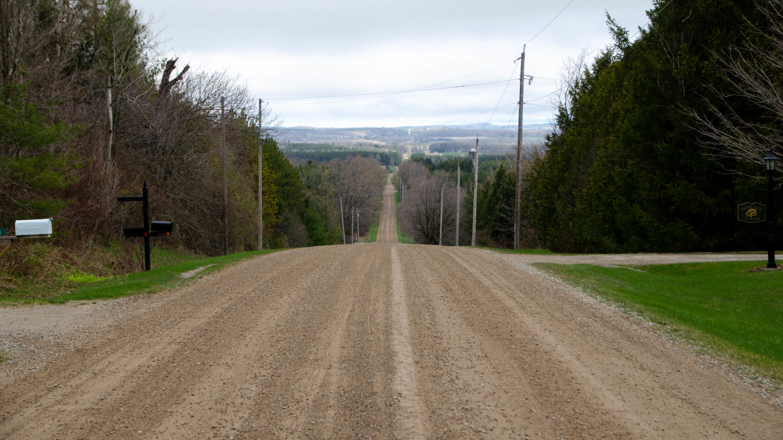
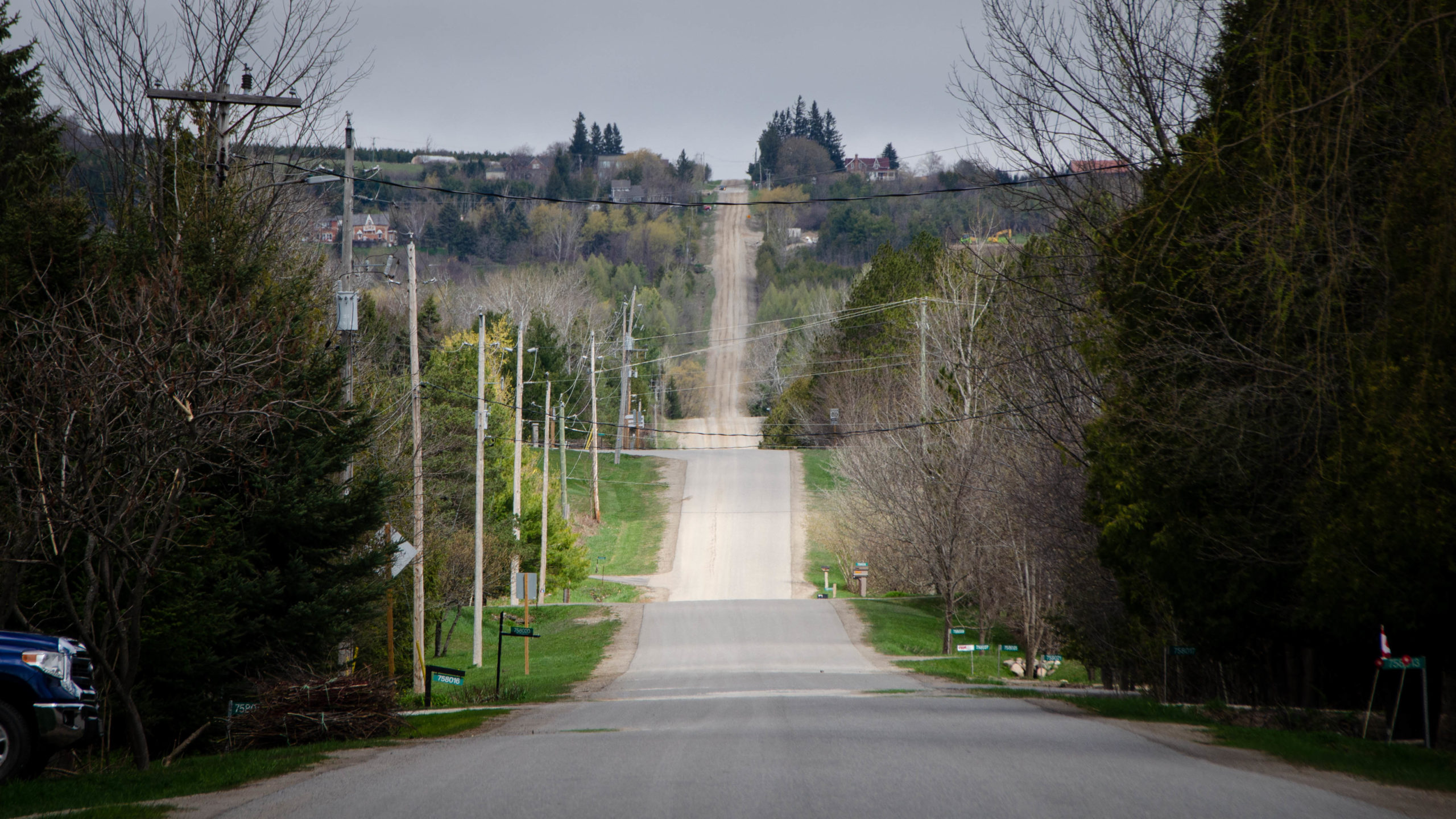
Not long after leaving the park, I turned north onto 1st Line EHS for my first descent and a look north towards all the adventures that await.
If you squint hard enough, you’ll see dead ahead, far on the horizon, what I believe to be the downhill segment I hit along 1st Line E when I looped back, and for the really adventurous, Blue Mountain, just to the right.
Climb 2 – 1st Line EHS Near Boyne Valley Provincial Park – 2.9km/93m
The day’s second climb was just a little north of 89, along 1st Line EHS, a paved, light and easy warm-up for the big three, otherwise known as Side Road 15, 2 Line E, and Prince of Wales Road.
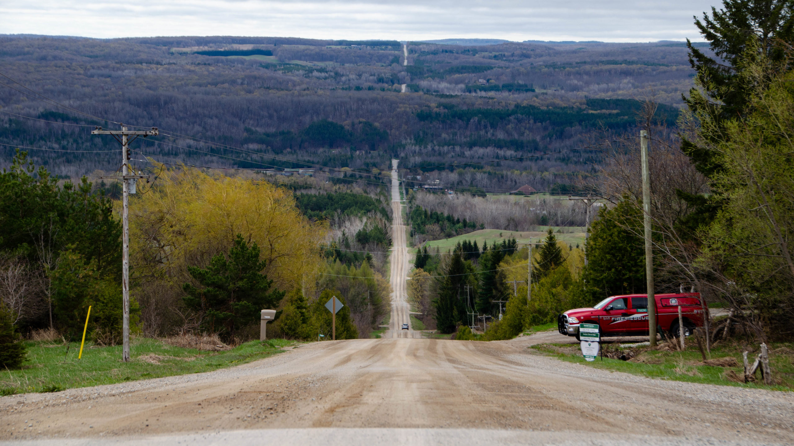
Climb 3 – Side Road 15 – Mulmur Hills – 2.3km/120m
It was a little over 20km in that the fun began, and few roads became permanently etched in my mind, River Road, 20 Side Road, Prince of Wales Road, and the second most memorable climb of the day, Side Road 15.

Beyond the warning at the start, I wish I had some pictures, or a video, to document the climb, as it was everything you would want a gravel climb to be, lightly technical, twisty and turning cottage types roads, lots of loose gravel, big rocky sections, and a little sand thrown in for good measure.
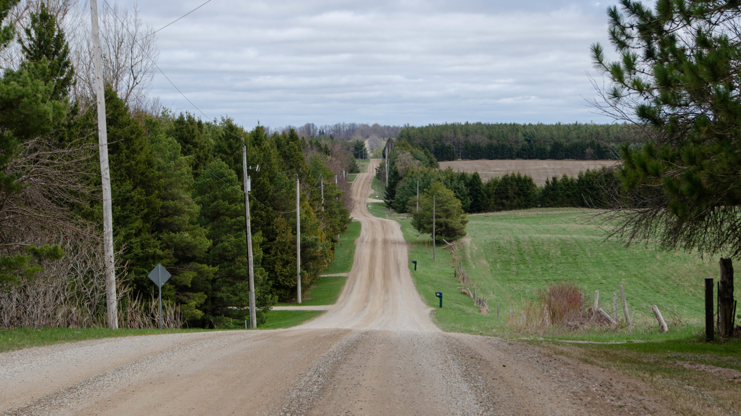
After leaving Side Road 15, my Garmin showed a 2.5km climb on the paved road known as 2 Line W, but after the fun experienced on Side Road 15, this part of climb number 3 barely even counts.
What goes up must come down, this time along 20 Sideroad, another unassumed road with a technical descent.
Halfway down 20 Sideroad, I chose to hike the bike for the one and only time of the day.
Looking at the picture below, I can only wonder what was wrong with me.
In my defence, I was riding alone. The rocks were slippier than they appear. I didn’t see anyone else on the day, so all in all, not a good place to take a fall.
Another stop for an Instagram-worthy moment.
Climb 4 – 2 Line E – Terra Nova – 3.2km/196m
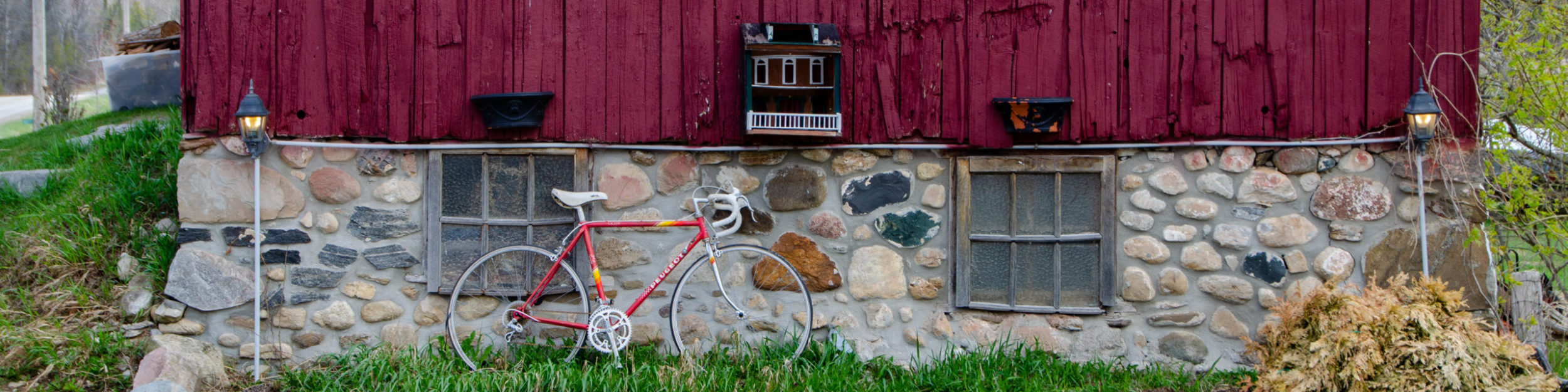
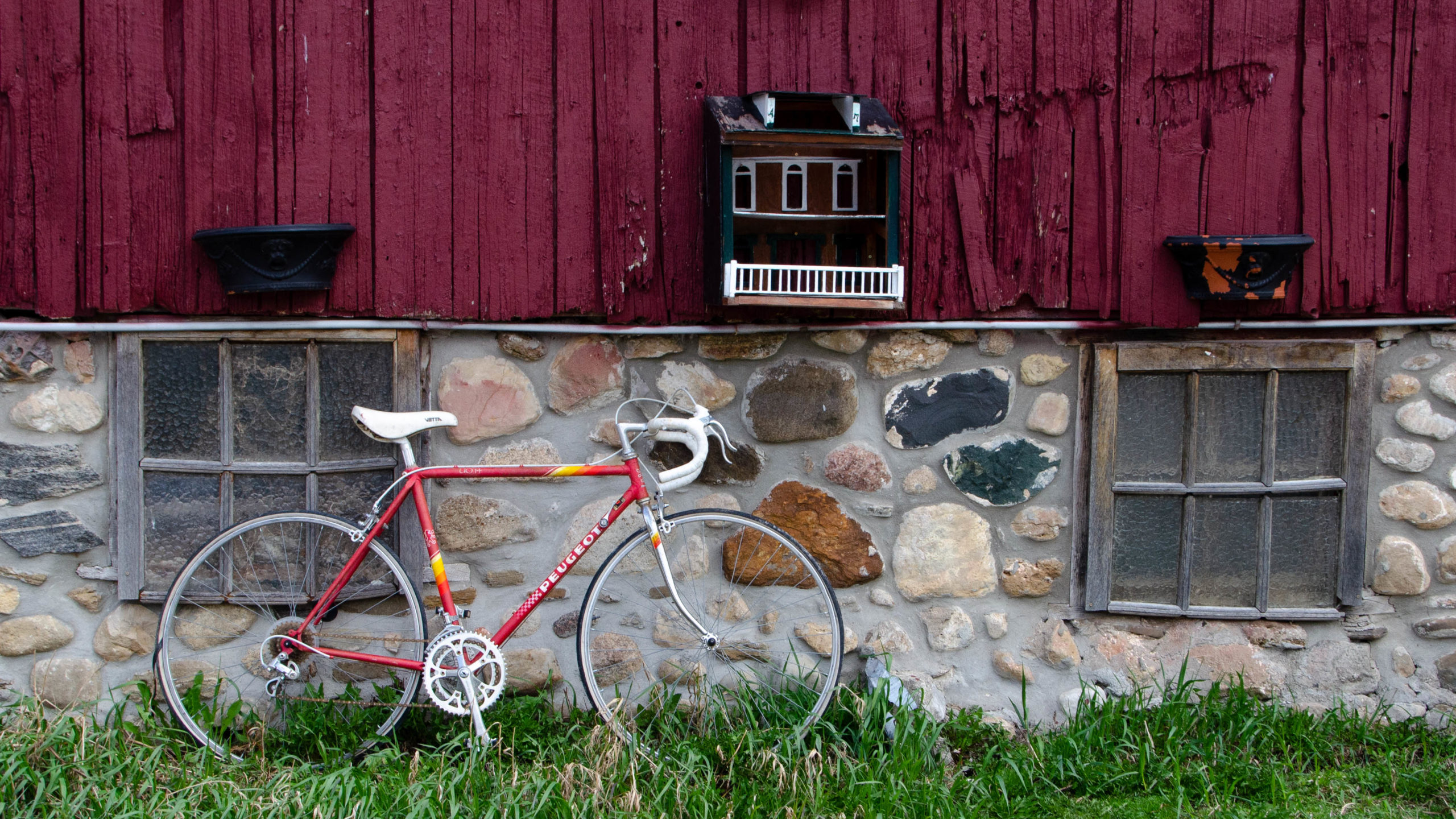
It was upon arriving in Terra Nova while stopping for a snack outside this beautiful red barn that I realized that for whatever reason, I was behind schedule, ultimately deciding to cut the ride short after one more big climb.
And if there was ever a climb to define a day, this was it.
3.2km dead straight and straight up, with two small starter climbs to warm the legs up, before culminating in a final 1km, 110m push to the finish.
The view at the end was simply spectacular, everything I would want the reward to be, and then some.
It was after this climb, after a short jaunt east when the route would normally turn north on 1st Line E, that my return journey began.
Climb 5 – Prince of Wales Road – 3.2km/177m
Another great climb, this time on a paved road, that although high in elevation and effort, after the fun of 2 Line E and Side Road 15, nothing overly memorable here, save for the burn.
I should also call out that no matter what loop you take, this should always be your third last climb of the day and the last climb that matters.
Climb 6 – Prince of Wales Road – 800m/49m
What was my Garmin even thinking? With a perfectly paved road, this bunny hill barely makes the cut of a climb.
Shortly after completing this so-called climb, I came across a fantastic 7km stretch of road, mainly heading west, with the wind gusting at my back. Every moment of it was pure bliss.
Climb 7 – 2nd Line EHS – 900m/67m
Maybe on a regular day, this would count, but today, barely.
The final climb for the day was a brief stretch of hard-packed gravel, followed by a 7km sprint to the finish.
Final Thoughts
Tiago has put together a truly epic route here, with lots of great loops to explore. All in all, a great day on the saddle, and I’ll definitely be back for more.
I hope you enjoyed my write-up.
Cory
Further Reading
You can read about Loop 2 of the Motherload here, The Motherload Loop 2 – A Photo Journal.