Last Updated on January 28, 2022 by Cory Kawa
While at our rental cottage in L’Amable a few weeks back, I had the chance to explore another very short section of the Hasty Highlander.
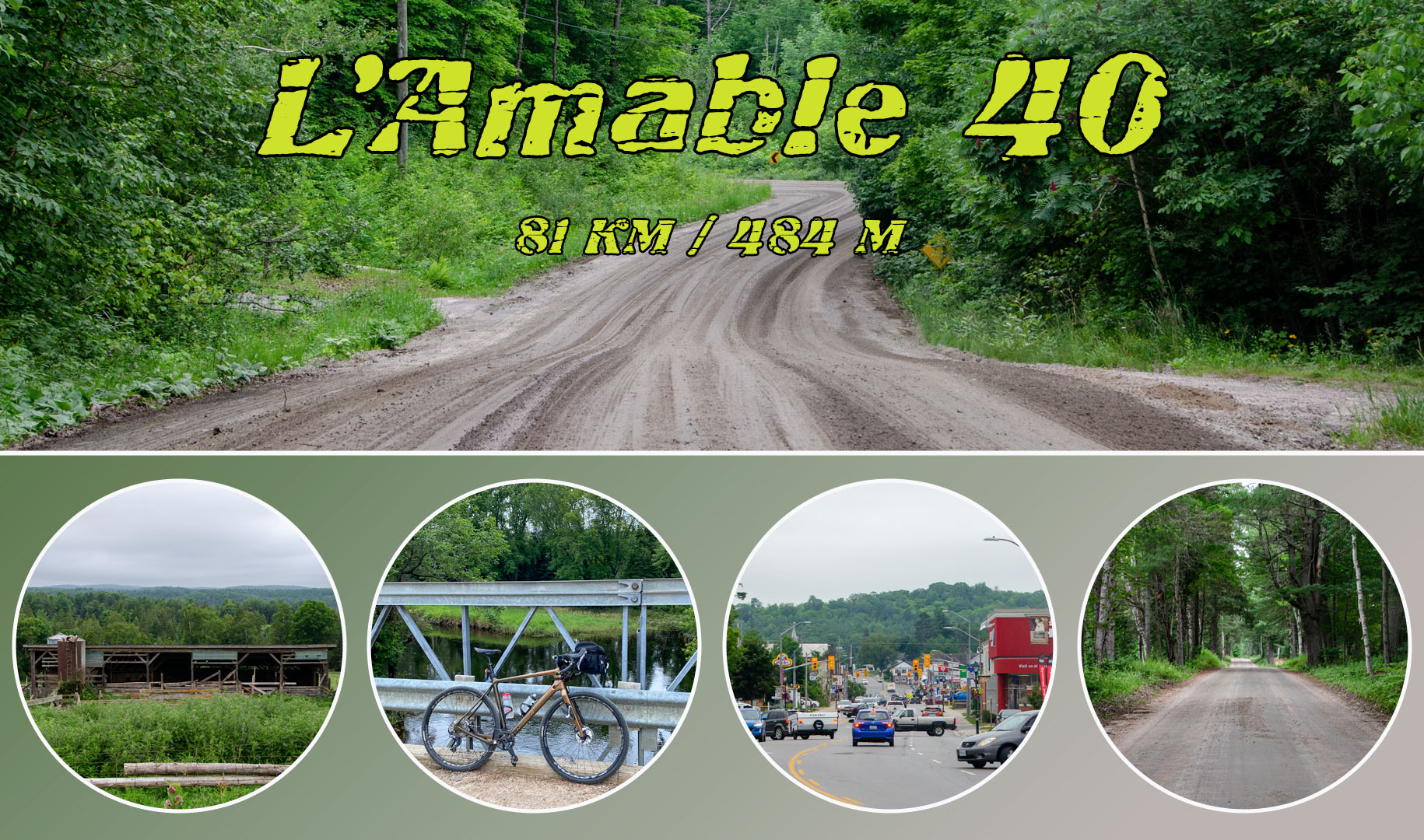
The L’Amable 40 is a fun gravelish ride near Bancroft, perfect for those already nearby, or a great extension if you’re heading up to ride The Hasty Highlander’s Lake Loop and were hoping for just a little more.
You can read my ride report about the lake loop here, Exploring Gravel – Hasty Highlander’s – Lake Loop.
Route Map
If you click through to the map itself, on RidewithGPS surface type information will be available for this route.
Also note, if you’re completing this as an extension to The Lake Loop, you will start at Detlor in the southeast corner, shaving off the first 5km of Detlor Road.
Route Notes
Parking – Day parking at Dungannon Recreation Centre plus what appears to be an empty lot at Detlor and 62.
Elevation Profile – Ride with GPS shows 560m versus 575 on my Garmin.
Speed Profile – An average gravel ride with nothing too technical.
Route Profile – Roughly 50% asphalt, 40% gravel, and 10% ATV trail.
Safety Profile – Limited traffic, close to civilization, a fairly safe route to ride.
Stores – Bancroft 25km in.
Favourite Part – The parts east of Hwy 62.
Least Favourite Part – Nothing terrible.
My Stats – 43km, 575m climbing, 2:44 total time, 2:18 moving time, 15.7km moving speed
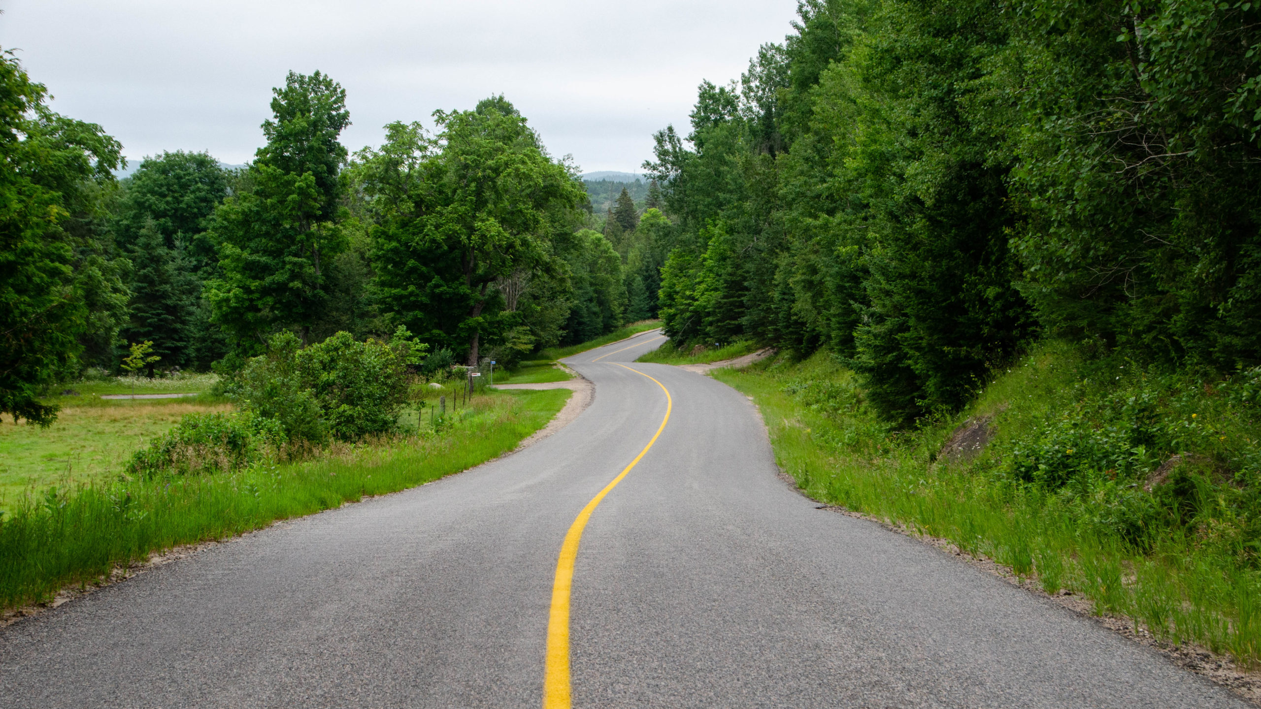
Detlor Road – Kms 0-5
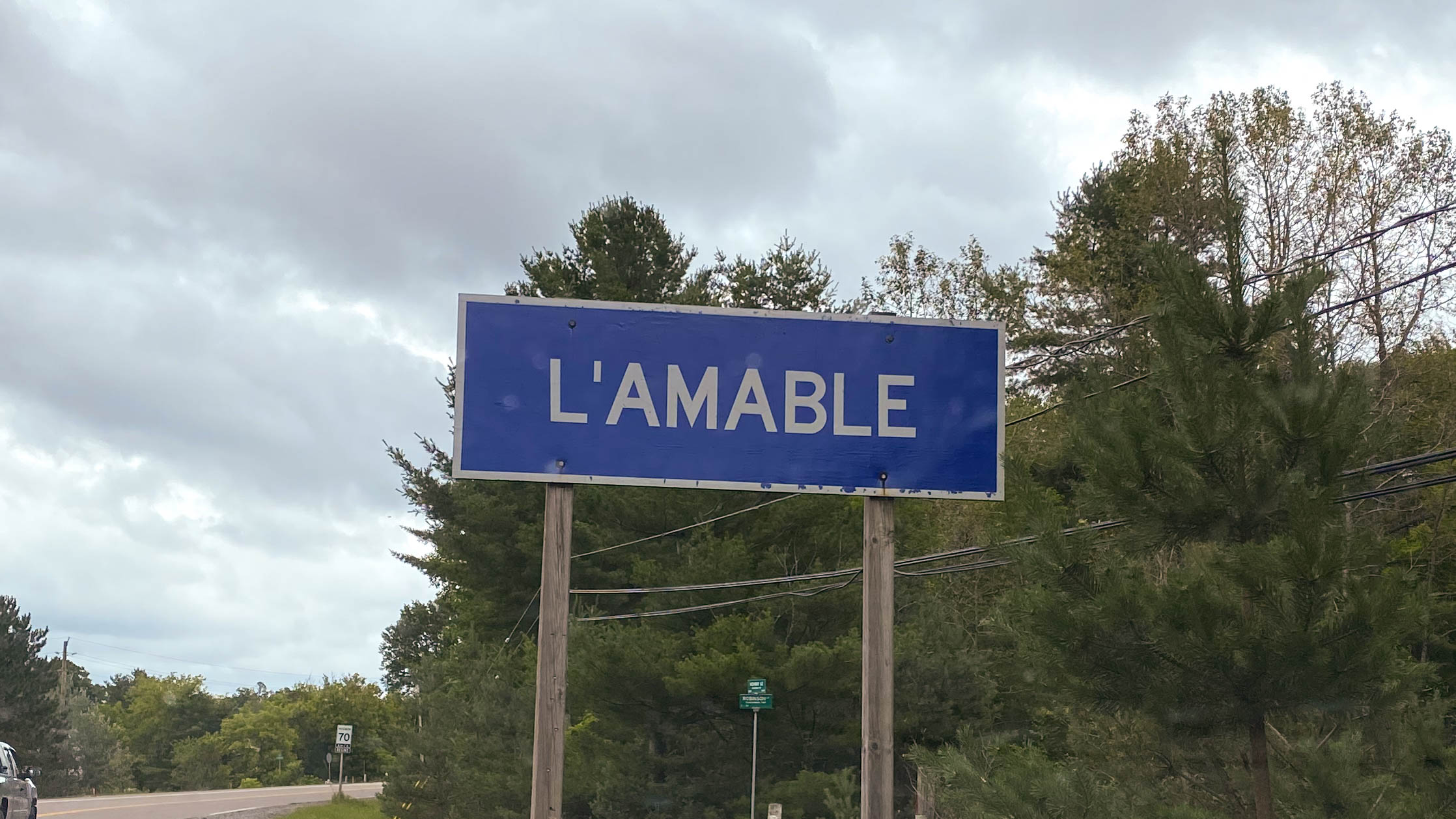
Depending on how you approach it, the L’Amable 40 starts just south of the Town of Bancroft in L’Amamble, Ontario.
Or, if you’re using this as an extension to The Lake Loop, you’ll shave off the first 5.5kms, starting directly in Detlor.
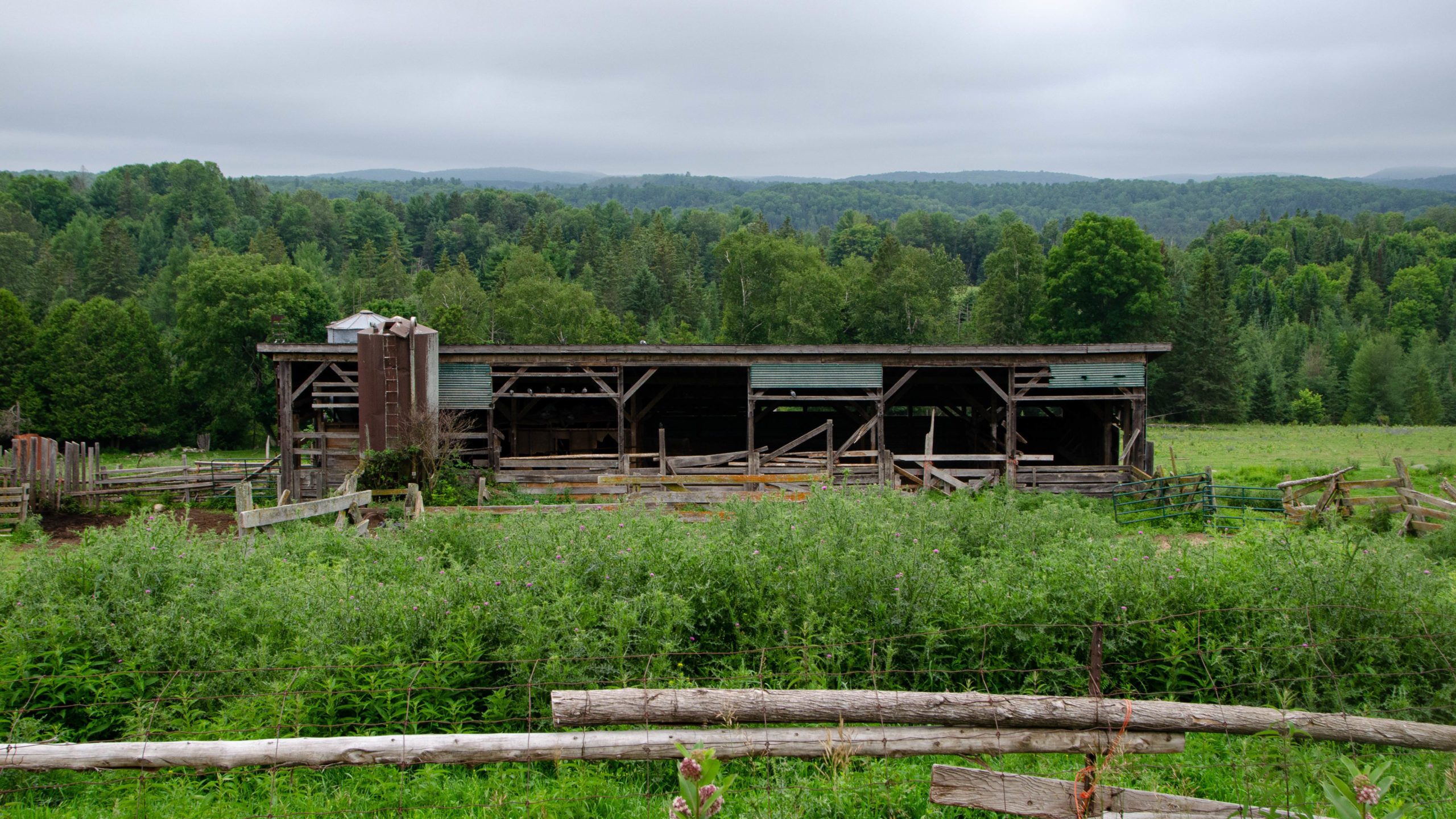
Detlor Road is one of the few high elevation points, offering excellent views of the parts south of Bancroft.
Looking at these hills, it’s easy to see why Bancroft is home to the Hastings Highlands Hilly Hundred. Even though the Hilly Hundred hasn’t been confirmed for 2021 yet, I’m holding October 2 free just in case.
Although Detlor represents about 30% of the asphalt on the L’Amable 40, it’s a relatively carefree ride with not much traffic to be seen throughout the week I was there.
Detlor to Bancroft – Kms 5-25
Upon arriving in Detlor, you’ll be presented with a bit of a choose your own adventure.
Stay true to the Hasty Highlander and the L’Amable 40 by going right on Landon Road.
Or, brave a few km of the Hastings Heritage Trail near Bancroft made famous by Miles Arbour’s Central Ontario Loop Trail.

If you stay true to the route and choose right, you’ll end up on 3.5km of easy dirt roads before…
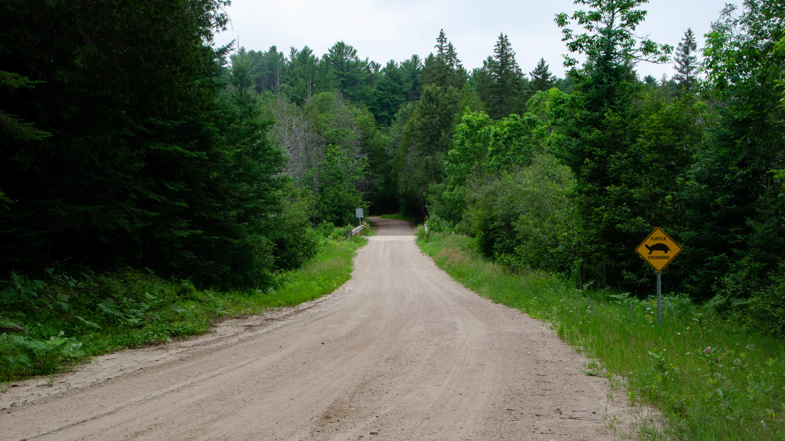
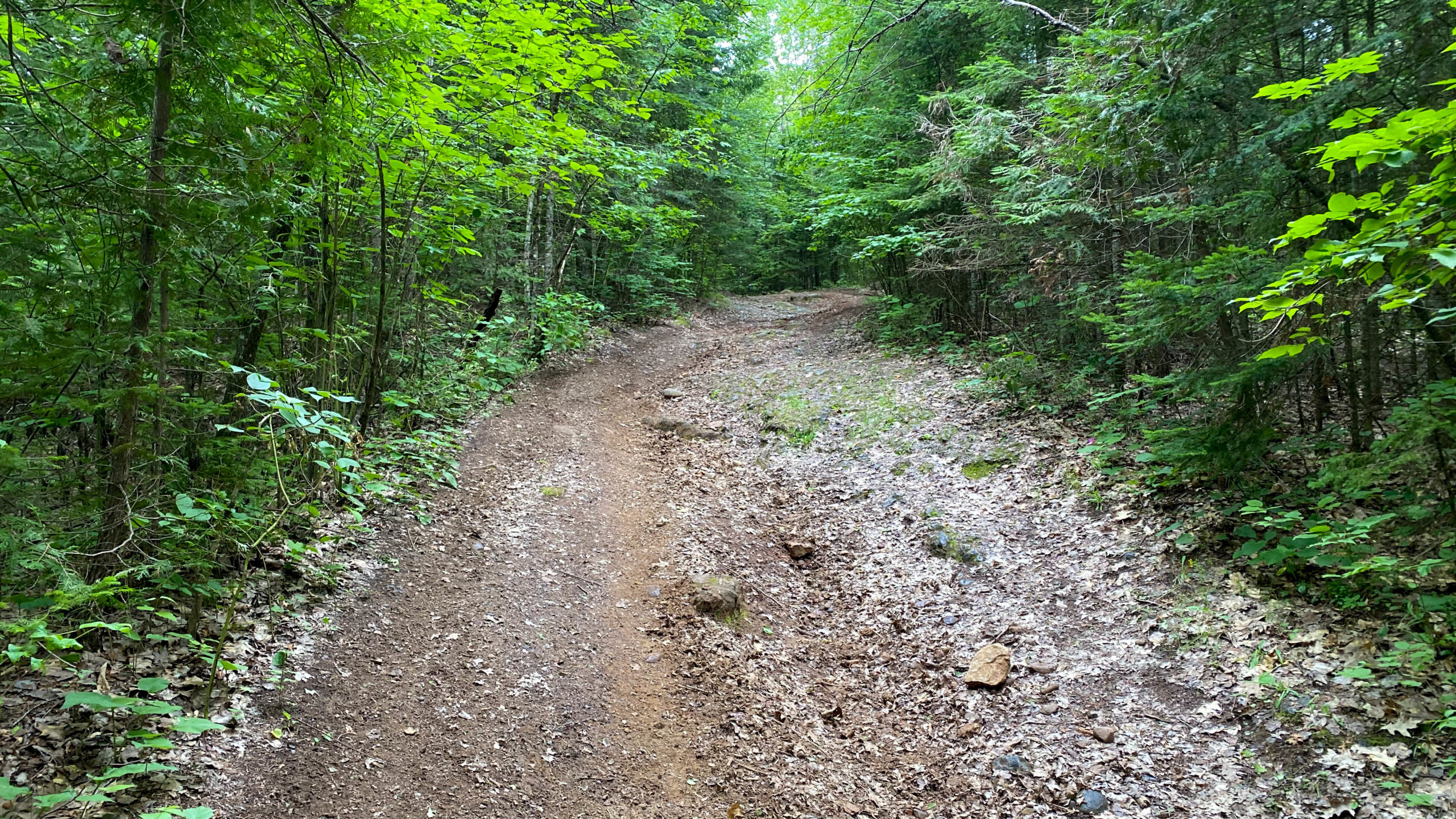
You get to experience the ever so famous Hastings Heritage Trail for 2km.
I’ve heard some crazy things about this trail and was pretty excited to see what it was all about, and this section, at least when I rode it on my 42’s was perfectly fine. Now, had the previous weeks been much drier, I can see how it quite possibly turns into a prolonged 20-30km of beach sand south of Bancroft.

Upon exiting the trail, you’ll join Bronson Road, crossing Clark Creek, all while enjoying a bit more gravel into Hwy 28.
After crossing Hwy 28, a slow and steady 6km climb with 160m of elevation gain will take you past Clark Lake, just east of Bancroft.

Followed by a fast and fun descent into Bancroft along Snow Road.
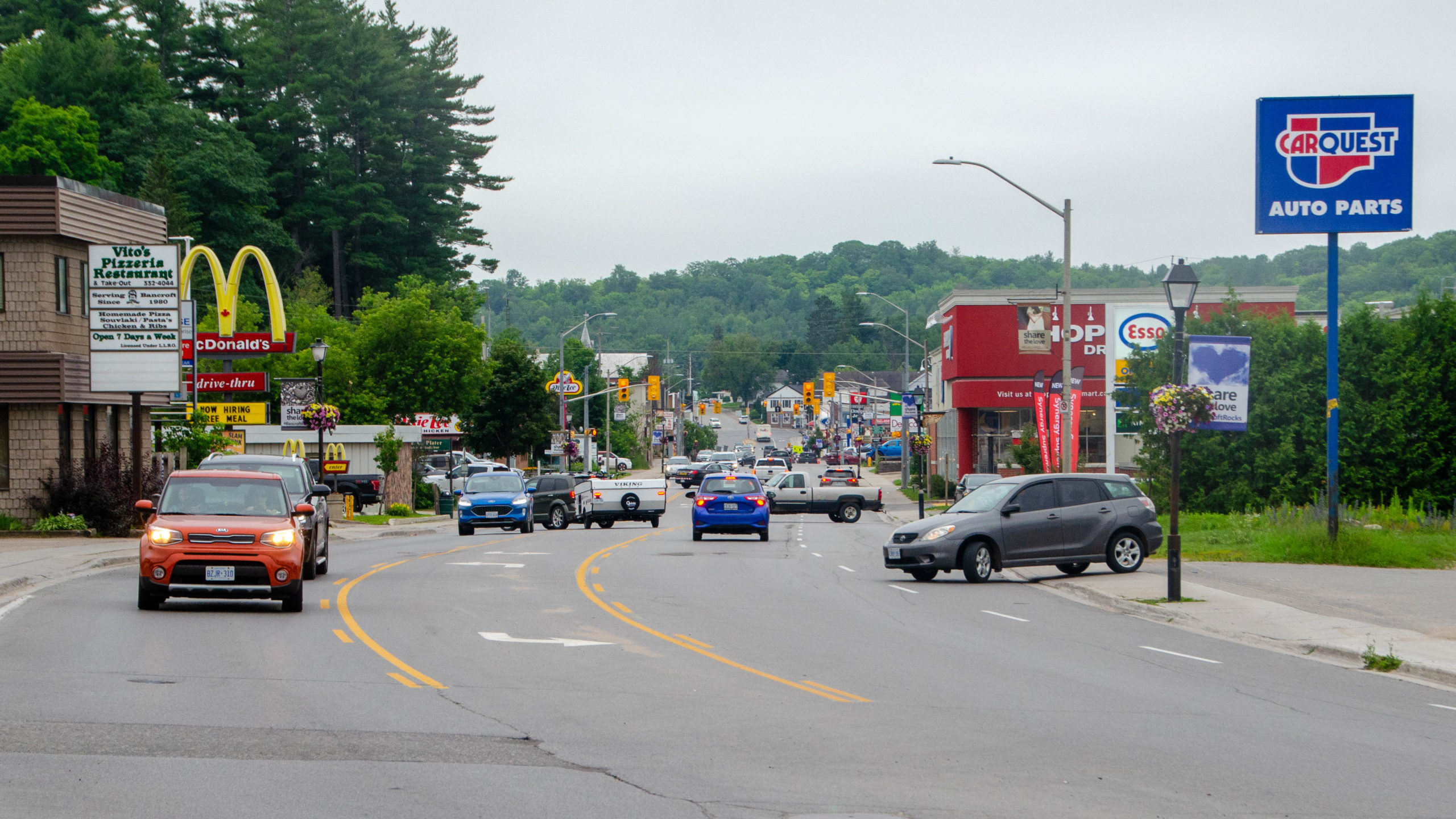
Bancroft itself is a cute and rugged cottage town offering all the amenities you’ll need while riding a multi-day bikepacking trip, including plenty of good food options, including fantastic fish and chips at For the Halibut and great beer at the Bancroft Brew Pub.
The ride out of Bancroft starts by crossing the York River through Millennium Park.
Including passing the historic Bancroft Municipal Office, formerly the town’s train station and home to this fully restored wooden caboose.

Bancroft to L’Amable via Cottage Roads – Kms 25-40
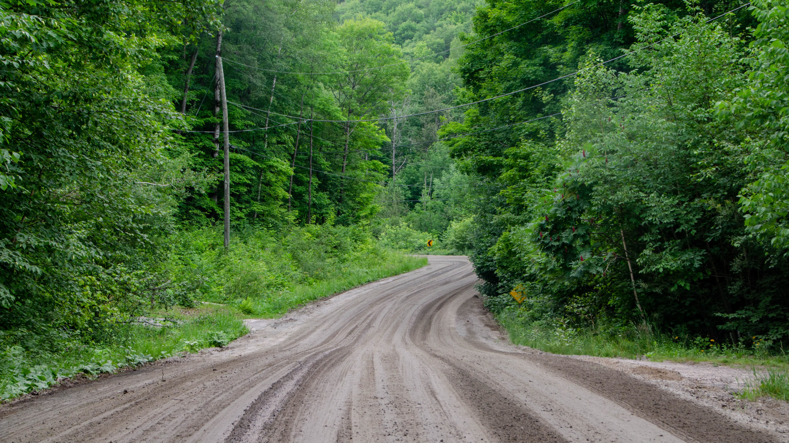
The final 15km west of Hwy 62 it’s time to switch off the GPS and go by feel because according to the signage, the “Use of GPS Devices for Navigation in this Area is Discouraged”.
All I could think was, I’m using a GPS device, what does that even mean?
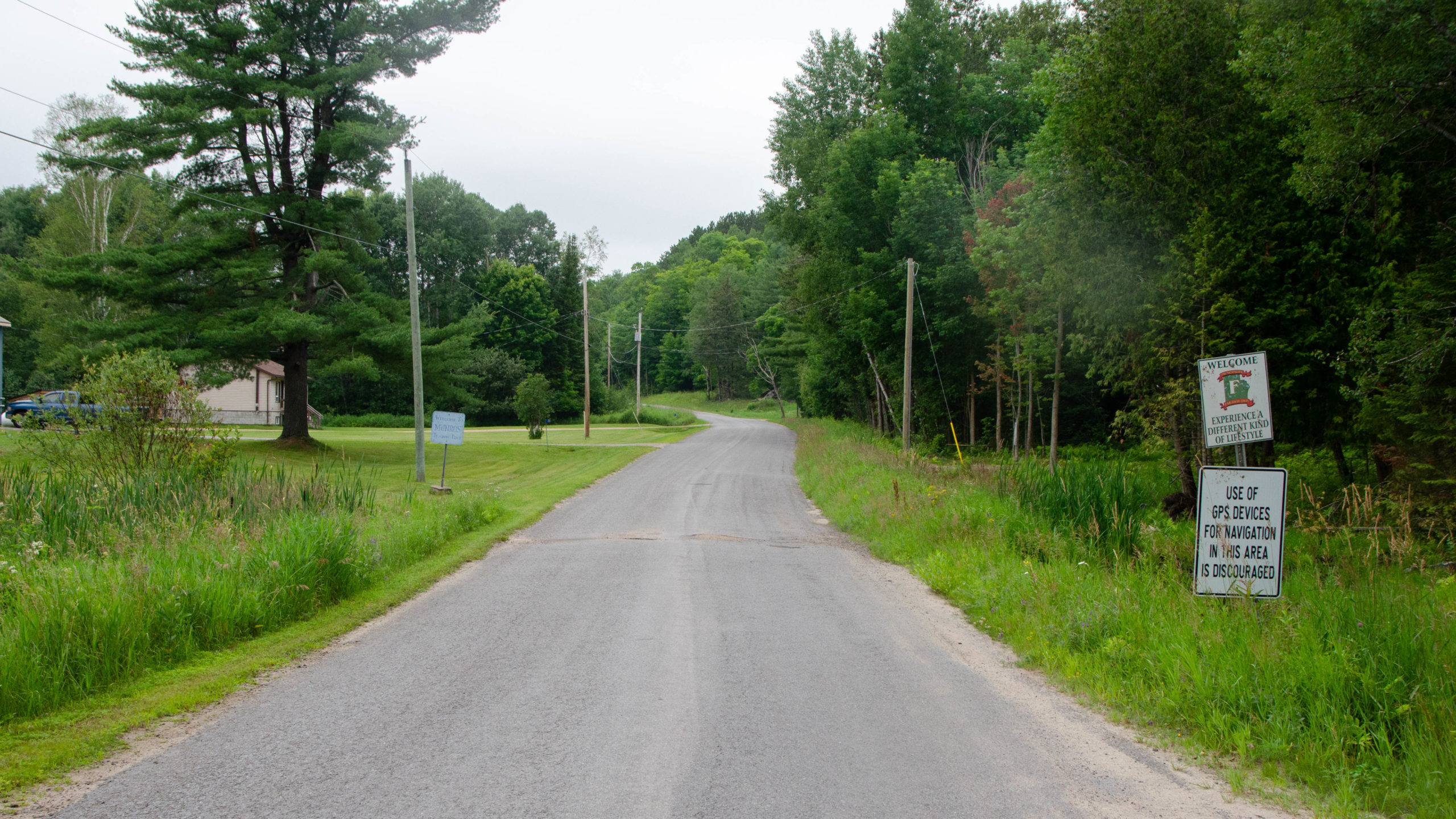
It didn’t take long to find out.
When originally planning the route, the map “Map” in RWGPS showed the path below as a section of Jade Bay Road.
Jade Bay Road, it was not.
And now I know why GPS navigation was discouraged.
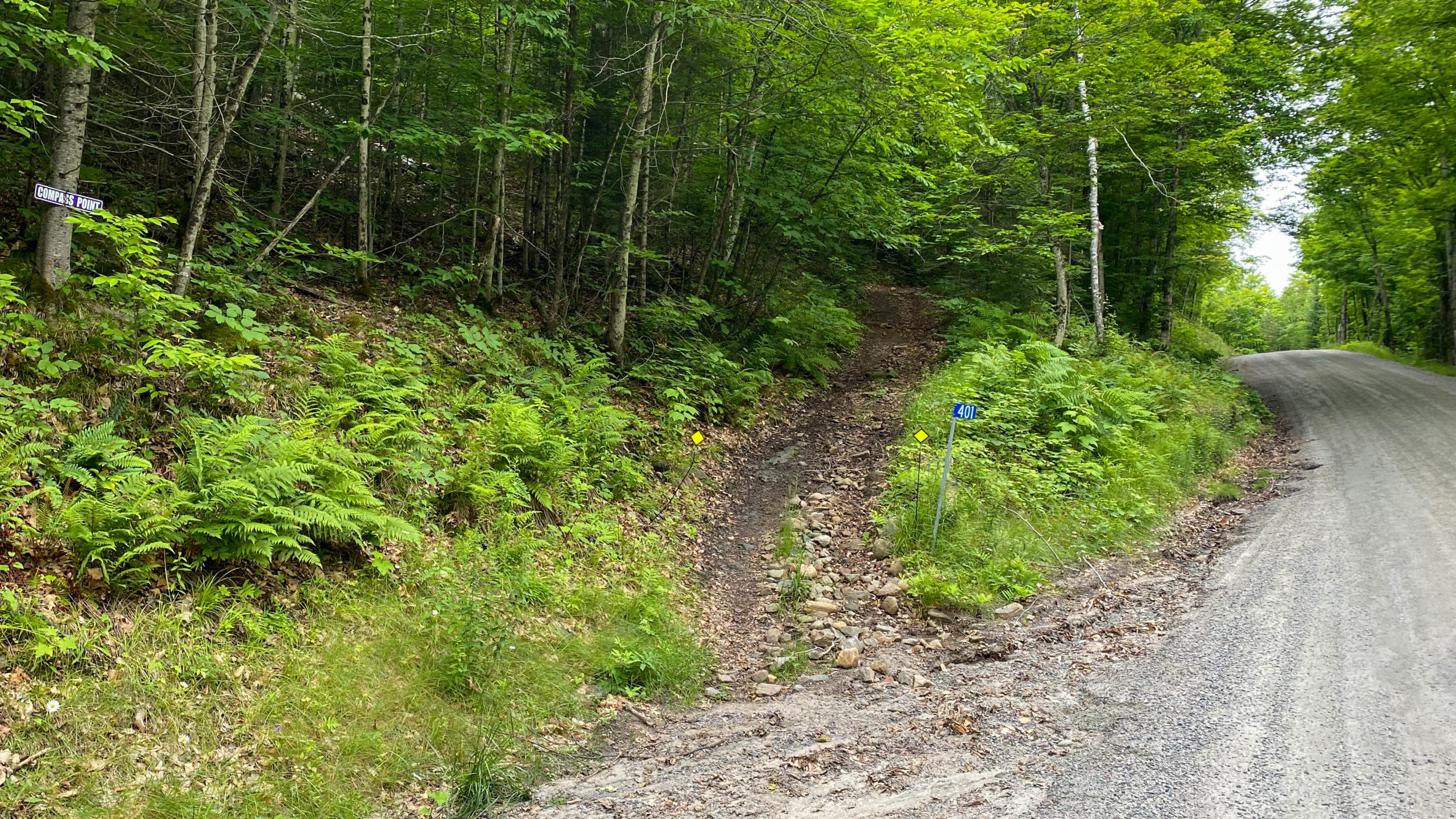
A few minutes later, I pulled my iPhone out and ended up with the option you see below, Rocky Drive.
Rocky Drive is a 500m brief bit of washed-out, mainly rideable road, save for a brief, you won’t get your feet wet, creek crossing I was too stressed to get a picture of.
Immediately after passing the creek, the road cleans right up.
Looking back on the much nicer, more car-friendly, southern entrance to Rocky Drive.

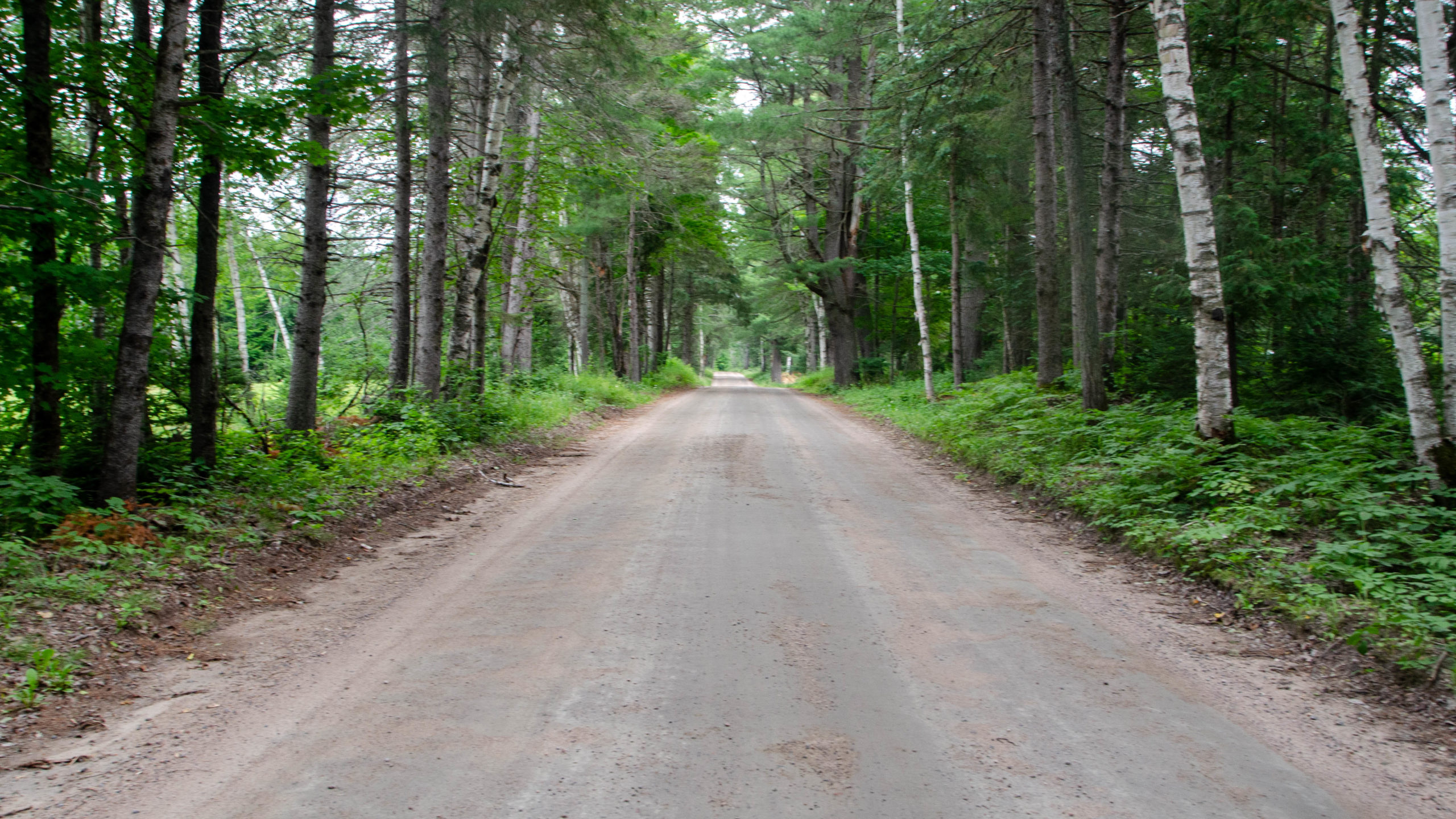
And with that, the fun and challenges come to an end with a brief bit of dirt, followed by 5-6km of paved cottage access roads back to the start.
L’Amable 40 Final Thoughts
The L’Amable 40 is a perfect little gravelish type ride if you find yourself in the area or a much easier extension if you’re riding the technically challenging Lake Loop and hoping for a little more.
Thanks for reading,
Cory