Last Updated on January 28, 2022 by Cory Kawa
Last weekend I decided to continue my three-loop version of An Adventure Cyclist’s, The Motherload. With lots of gravel, crazy climbs, no winter maintenance roads, the Garmin confusing maze known as Devils Glen, and a 15km paved downhill section returning to the start, it didn’t disappoint.
You can also read about my first loop experiences here, The Motherload – Loop 1 – A Tale of 7 Hills.
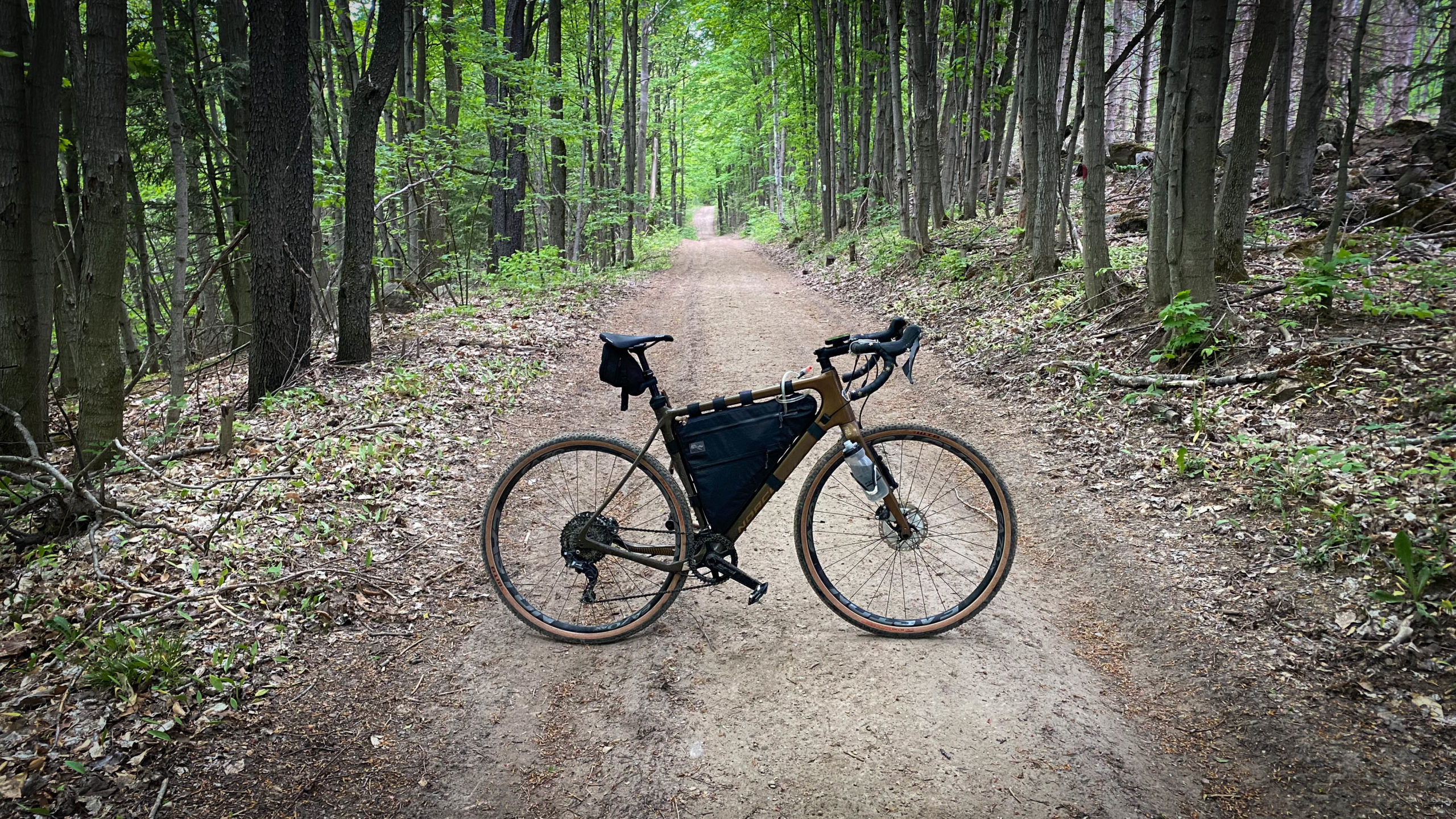
Climbing from Creemore
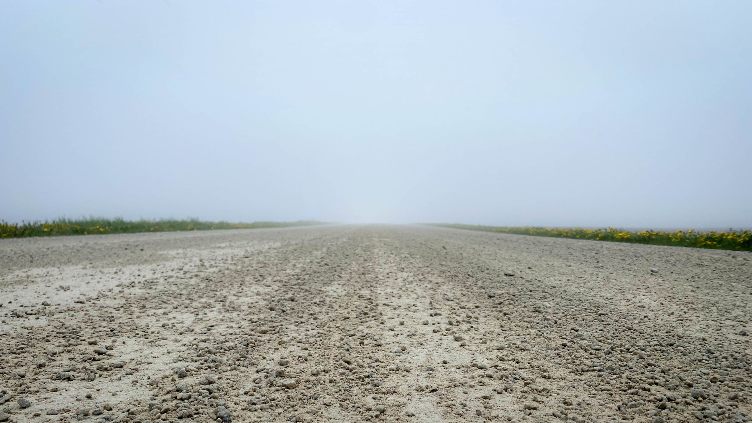
The loop today started on a cool and foggy morning in the Town of Creemore.
Immediately upon leaving town Caroline St. turns into Concession Road 5 and the first of two big climbs began. At 210m of climbing over 3.6km, it looked pretty intimidating, but with no major sections above a 10% grade and fresh legs, it felt almost easy.
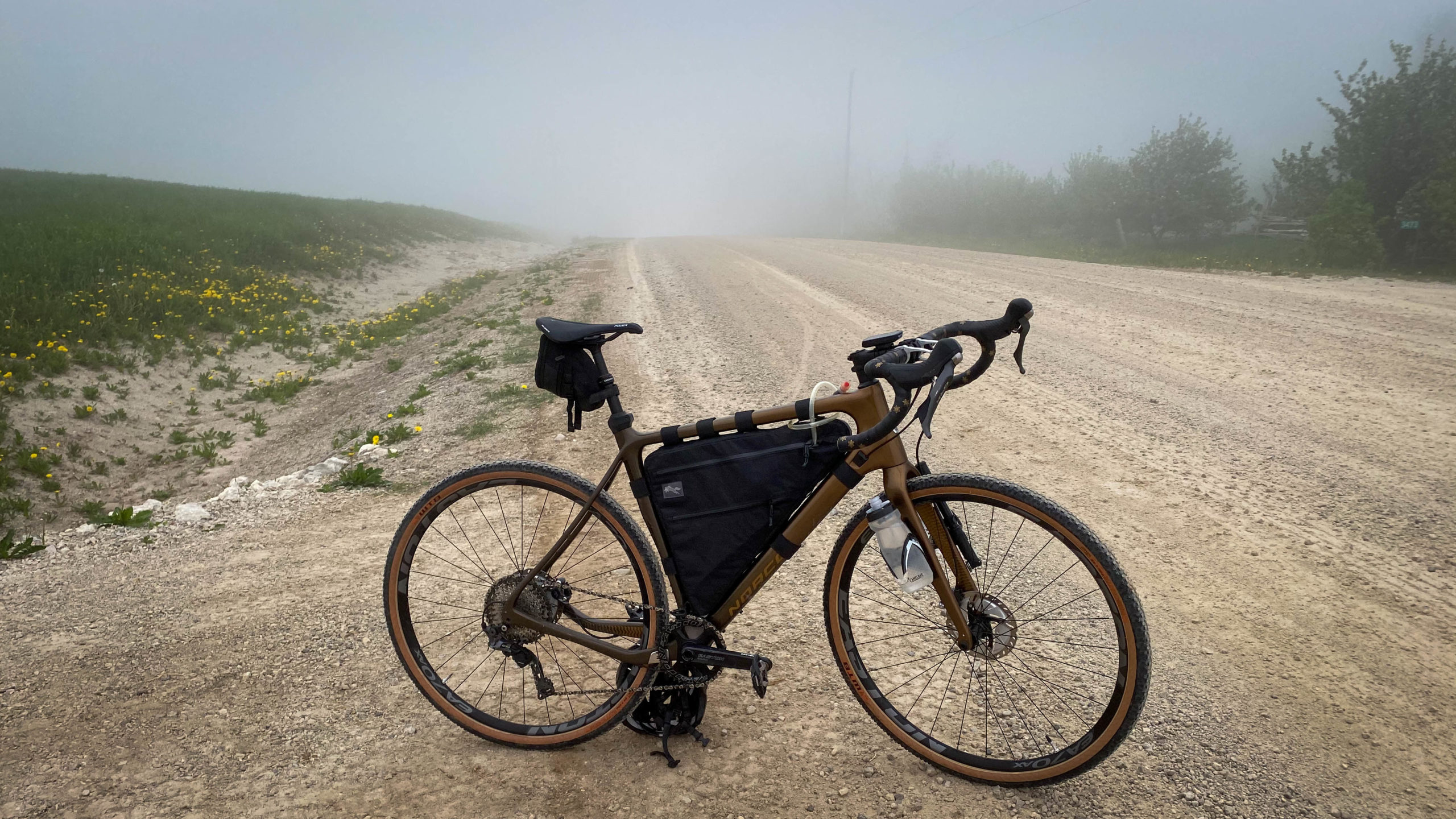
With a light drizzle and heavy fog it felt like I was pedalling into an Abyss of unknown future adventure.
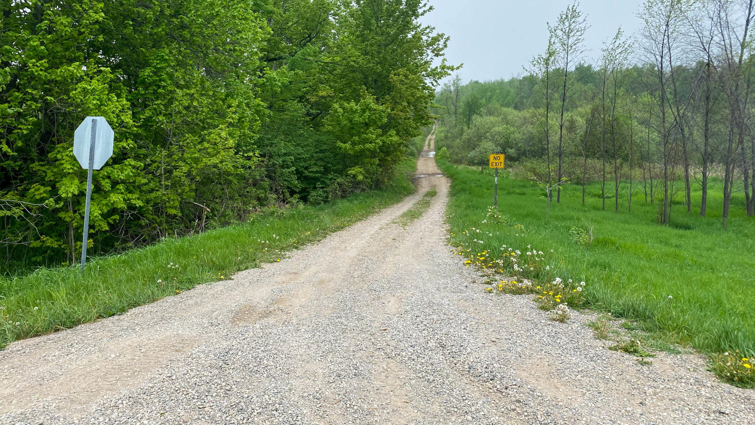
A short while later I turned onto Mulmur Nottawasaga Townline, and the first of many “No Exit” sections on the day.
Although branded as “No Exit” the roads were basically perfect.
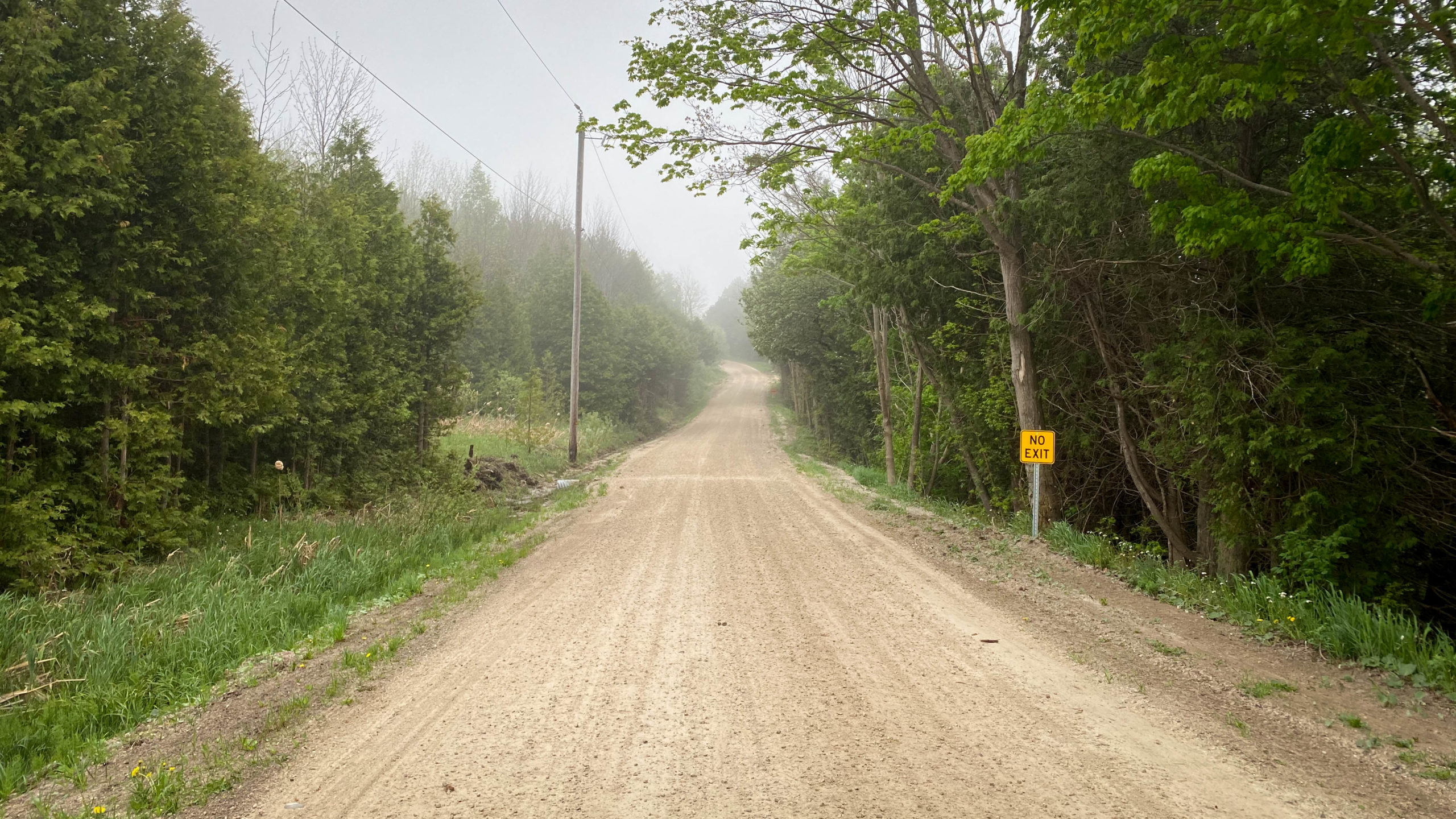
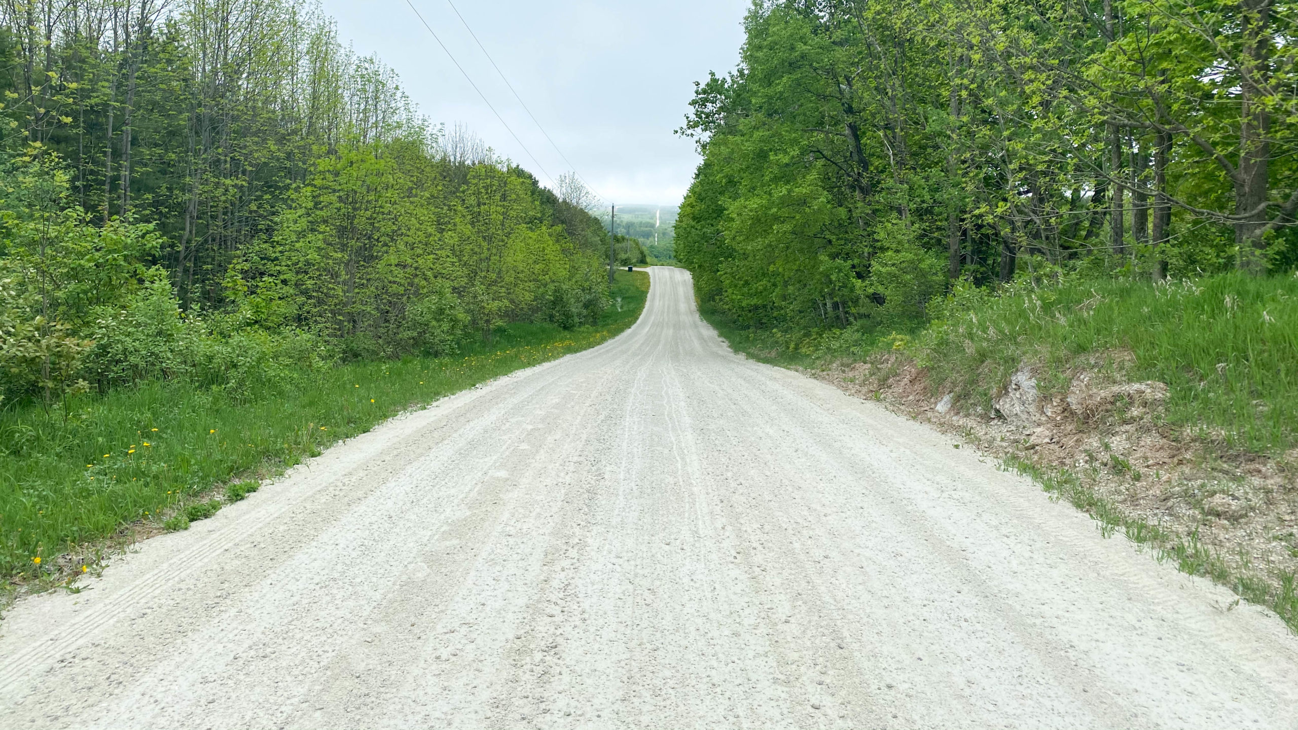
Not only were they perfect, but downhill. Where I climbed over 200m at the start, I then lost it all over a fantastic 5km stretch, easily flying over the hills you see below with barely a pedal.
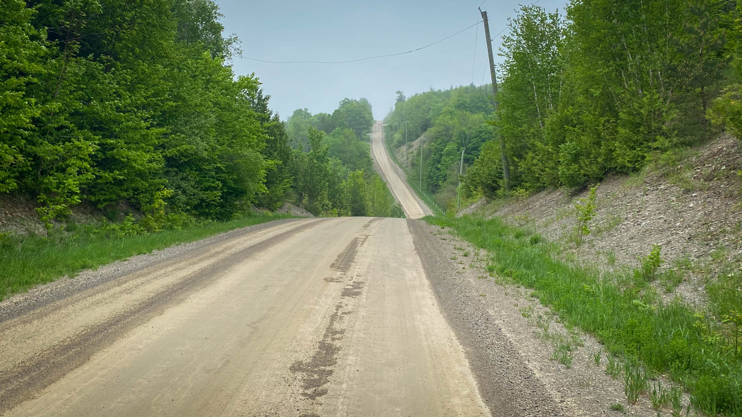
Of course, what goes up must go down, and in cycling, what goes down, usually has to go back up, and with that, the second big climb of the day.
This time another 200m gradual climb over almost 4km of paved roads.
Athough there wasn’t much to see looking back, the view down 2nd Line EHS to Terra Nova made it all worthwhile.
1st Line EHS North of Side Road 25
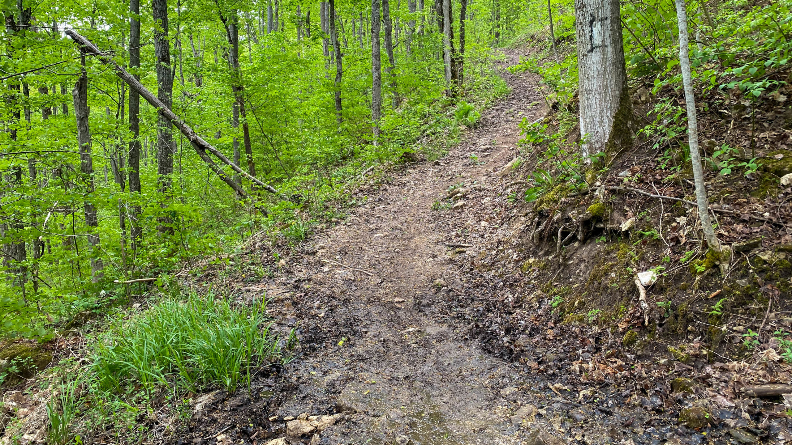
It was at precisely this point that my loop ended a few weeks back, and one of the best parts of today began.
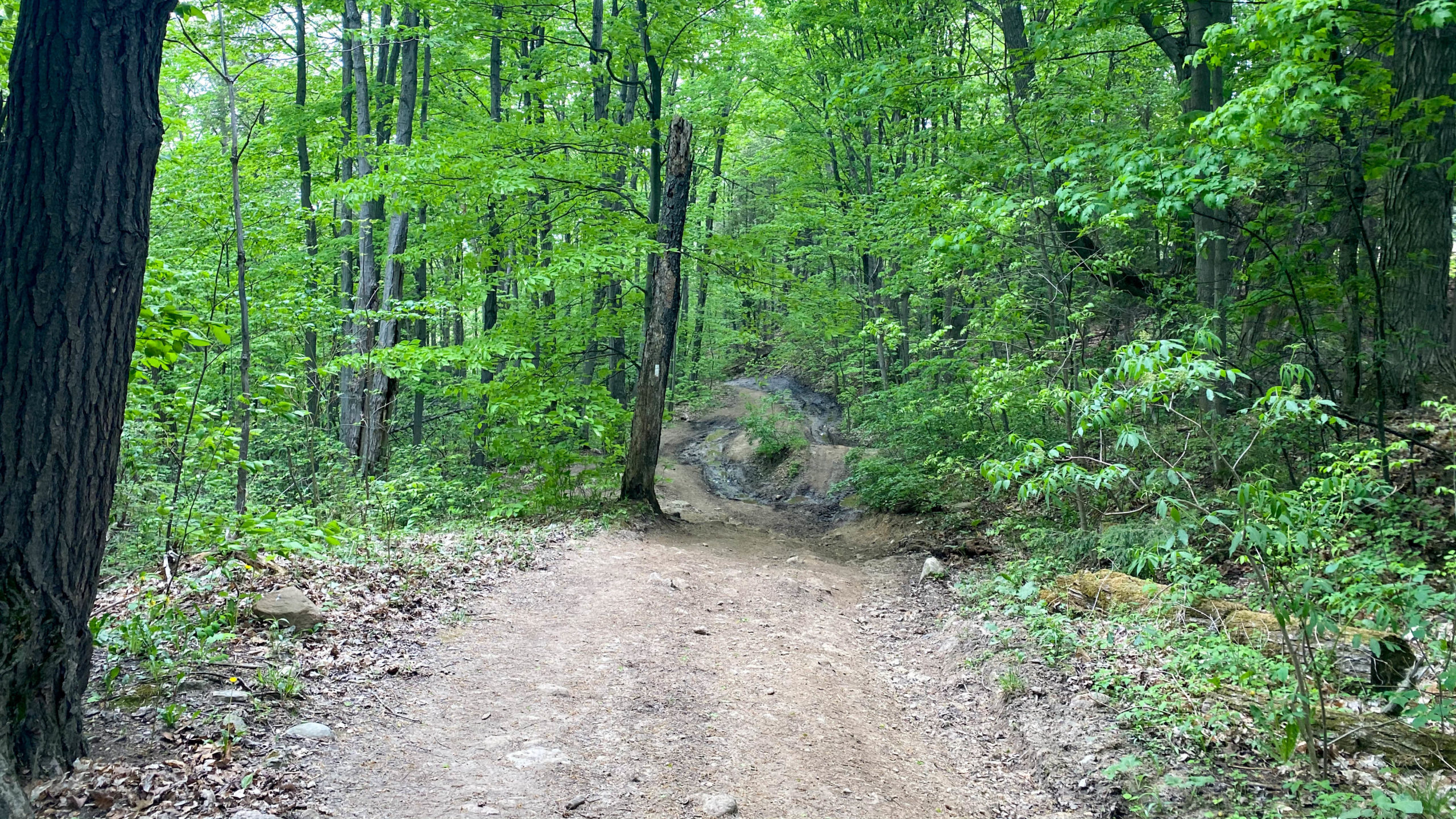
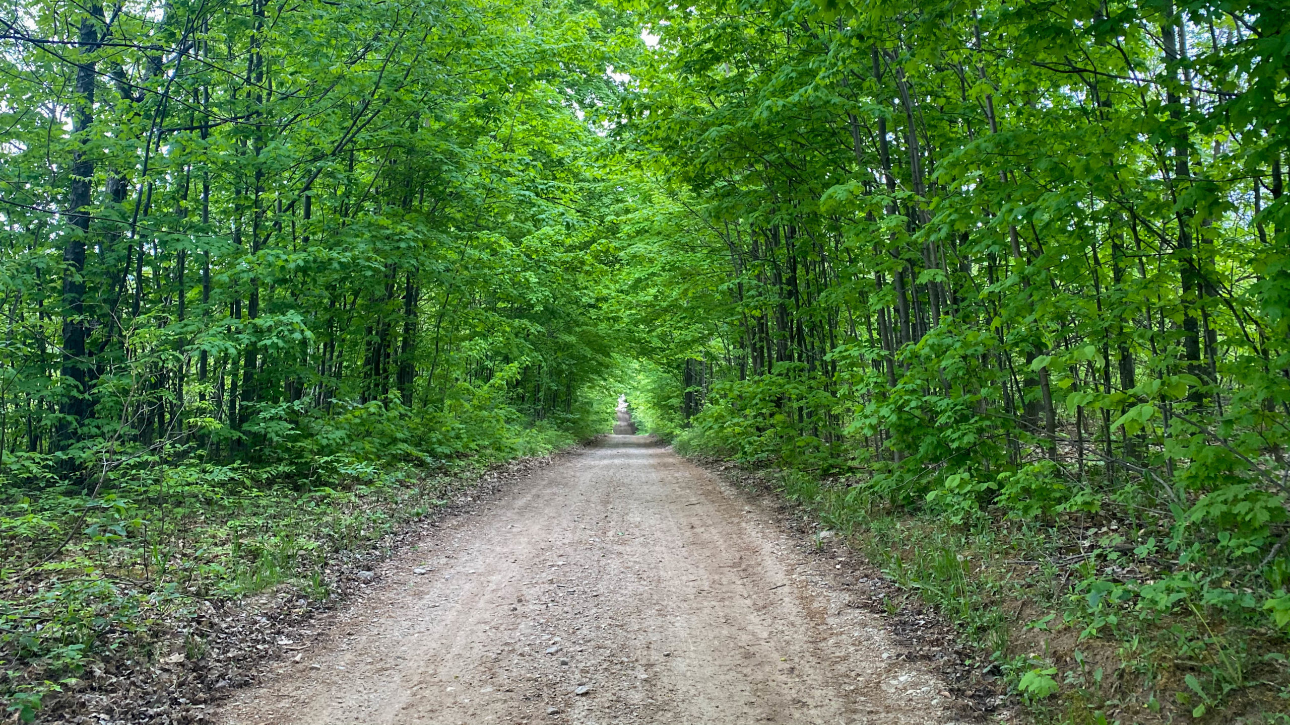
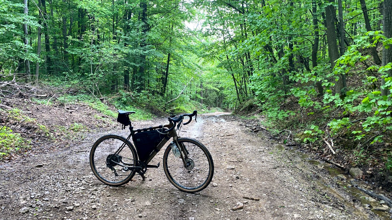
1st Line EHS starts easy with a perfect section of double track.
Then quickly transitions into rutted-out ATV tracks.
Followed by the fantastic water crossing you see below.
Fyi, I don’t feel like the picture does it justice, but it was one of the highlights of the trip.
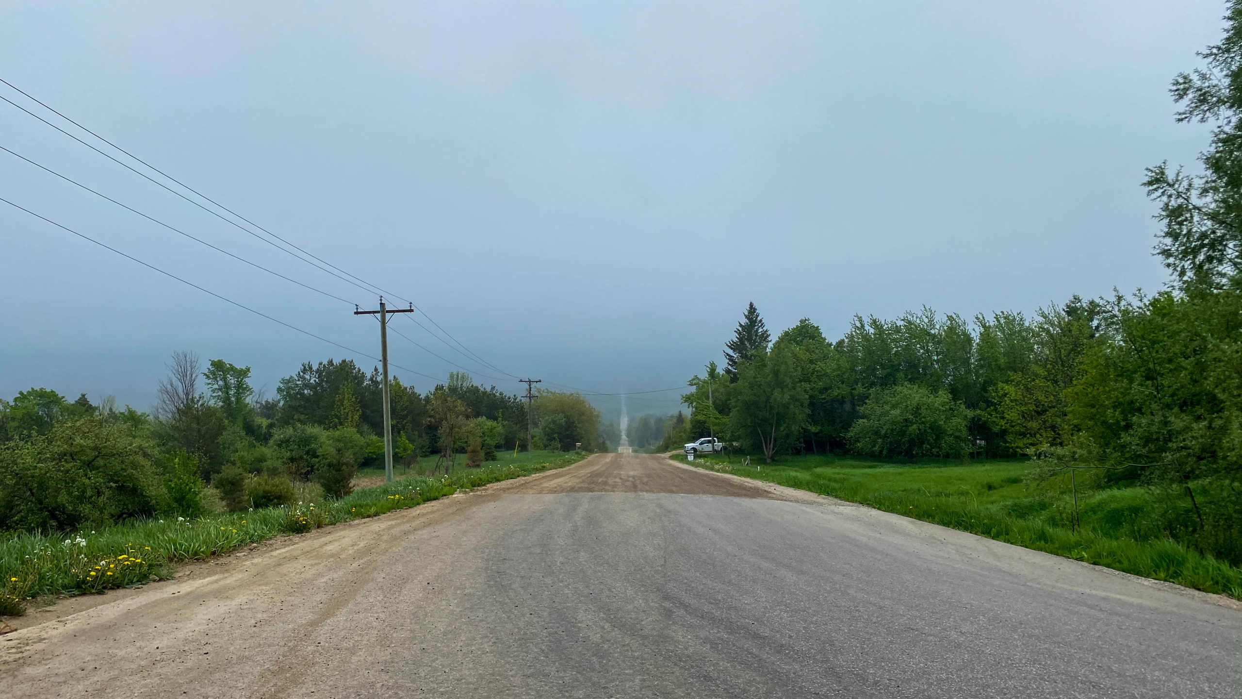
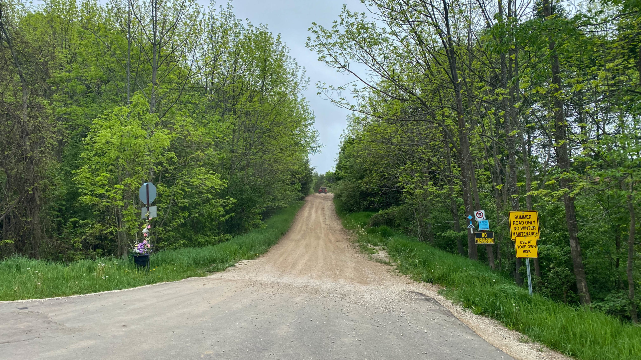
Flying Down Concession Road 10 into Dunedin
The 3km stretch of 1st Line EHS immediately transitions into a 10km stretch of gravel into Dunedin.
The push into Dunedin past Noisy River Provincial Park was a fantastic downhill stretch, losing 170m over 5.8km.
Although marked as “No Winter Maintenance”, I’m not sure why, as the road was basically perfect in every way.
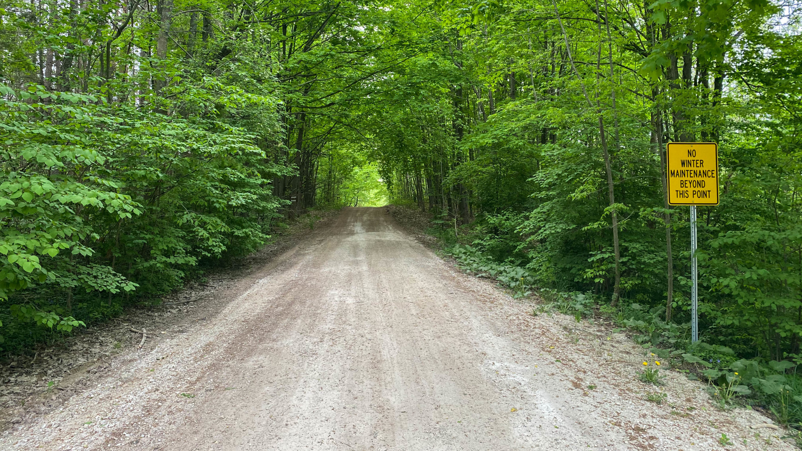
Flying down Concession Road 10 to Dunedin.
Stopping for a quick rest in Dunedin.
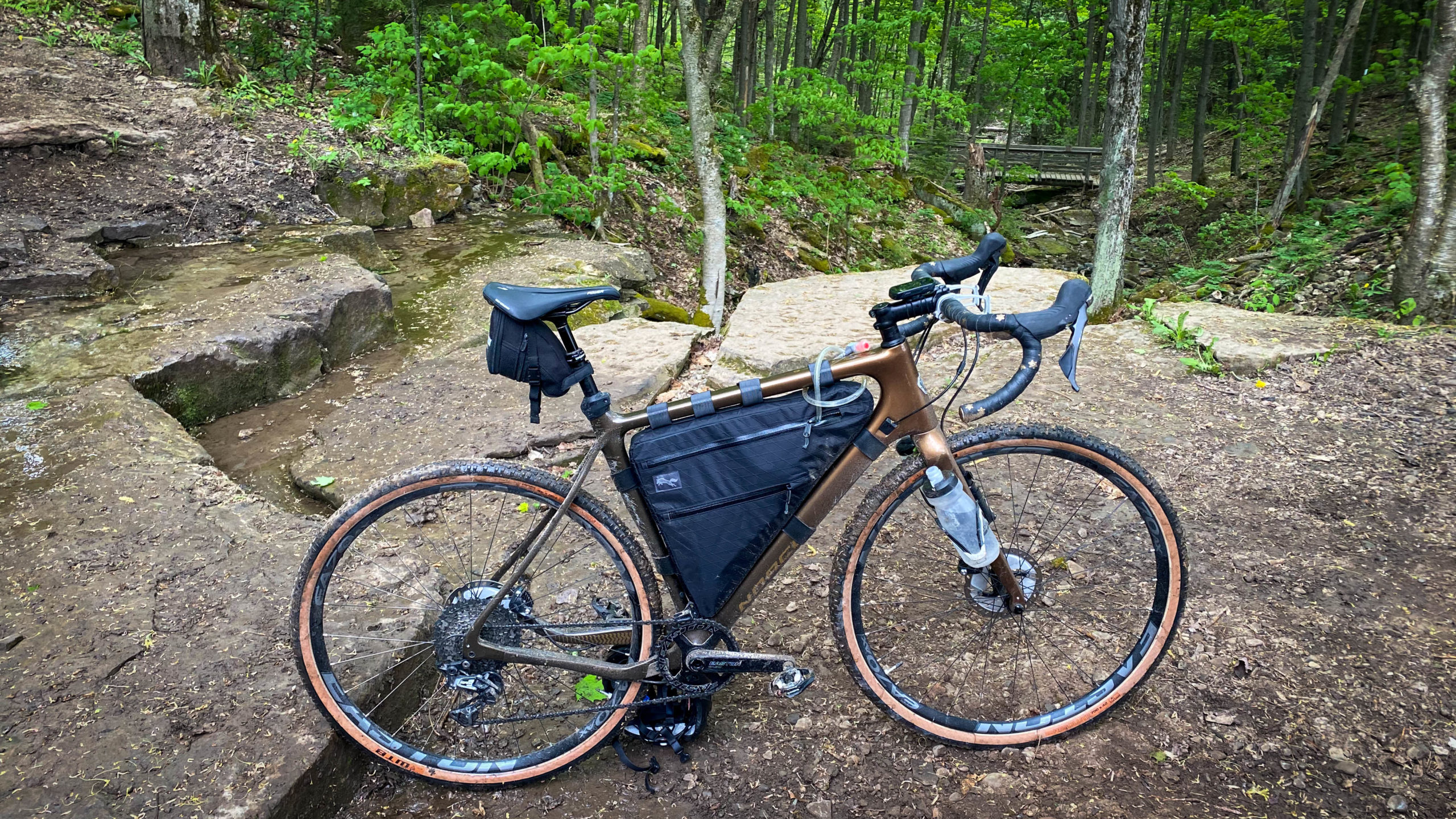
Devils Glen
If there was anywhere that things went wrong, Devil’s Glen was it, and simply because my Garmin couldn’t keep up.
I will note that I love my Garmin Edge 530. It’s a fantastic little device that lasts forever on a single charge, plays nice with my Varia Radar, and in general, works quite well. Where it sucks though, is single track, with lots of twists and turns and different branching options, the processor in the Garmin can’t keep up, often leading me the wrong way and confusing itself into oblivion.
Where my Garmin completely failed me, Ride with GPS did not. After too many reboots of my confused Garmin, walking down wrong ways and back, I decided to give up, pull out my phone, and turn on the Ride with GPS, and moments later, I was back on track.
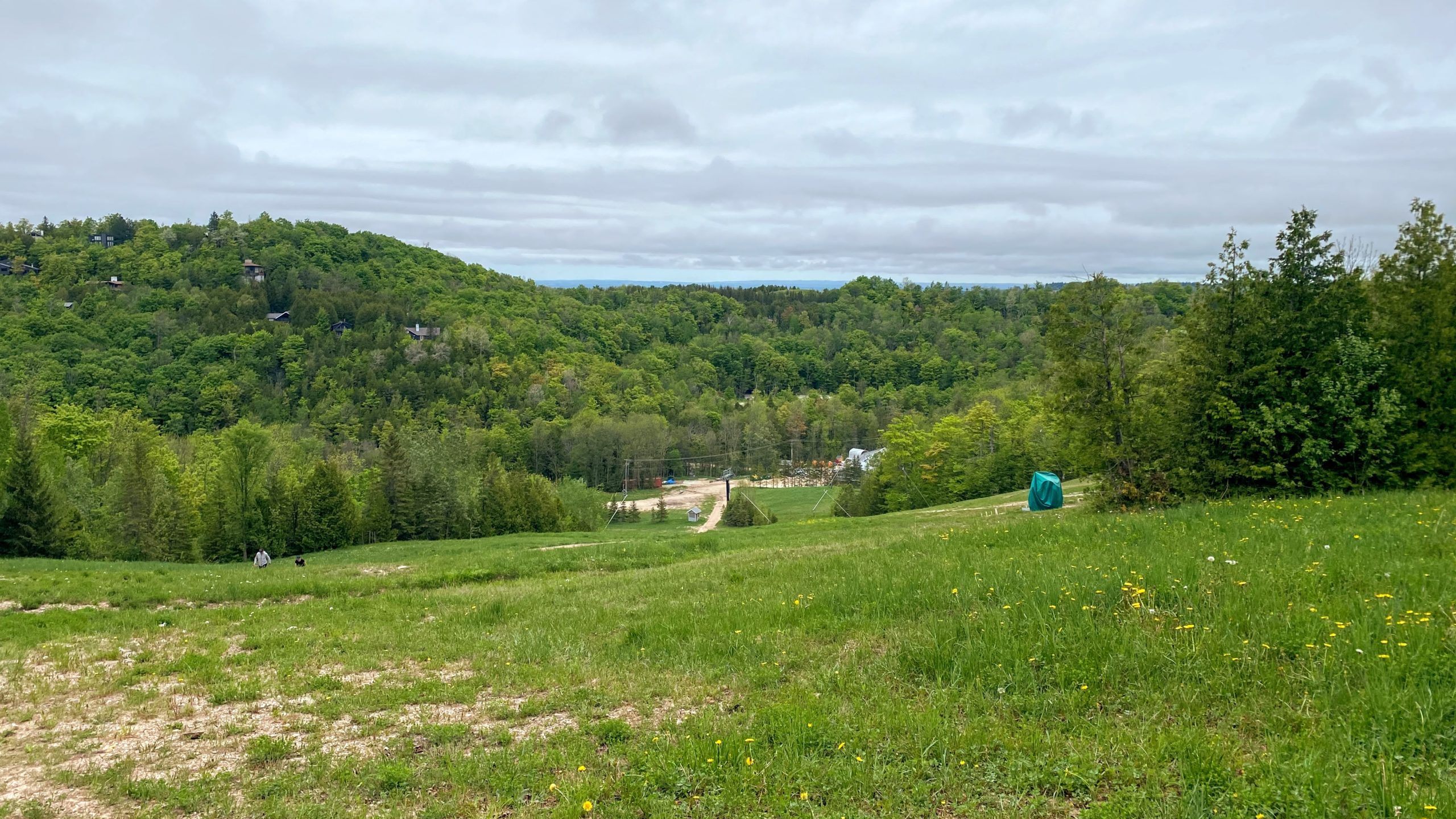
The turn into Devils Glen started with a short but punchy climb up Sideroad 15 & 16 Nottawasaga.
The view from the top of Sideroad 15 & 16.
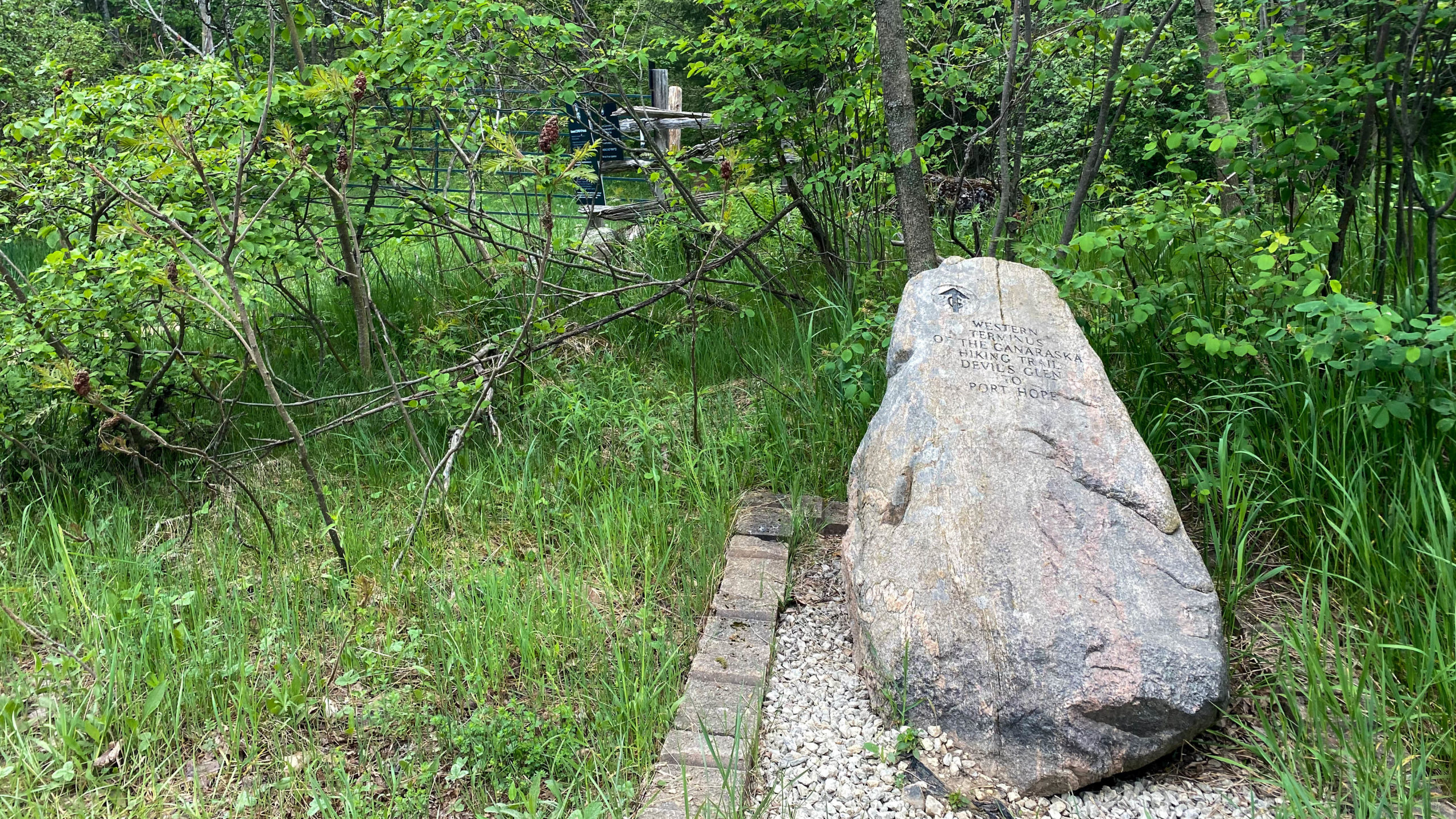
At the top, the trail quickly transitions into the single track and double track of Devil’s Glen, at the Western Terminus of the Devil’s Glen to Port Hope Ganaraska Hiking Trail.
The first of many GPS errors took me off the track, to this excellent view.
If I can give any advice to anyone passing through here, it’s simply to stay high. I felt like, and my Garmin seemed to indicate that I should be moving downhill, and that was simply not true. If you find that you’re losing elevation fast, you’re probably going the wrong way.
The second GPS error brought me 500m down an insanely wet and barely walkable stretch of switchback. I’m sharing this picture because it was almost too precarious to take a picture anywhere else.
The Return to Creemore
After too much hiking and not enough biking, it was time to put the camera away and make up some time.
Shortly after exiting Devil’s Glen, I was back on hardpack gravel, riding past the town Singhampton, home to the only convenience store on the day, followed by a 10km out and back to the start of what will eventually be my third loop of The Motherload.
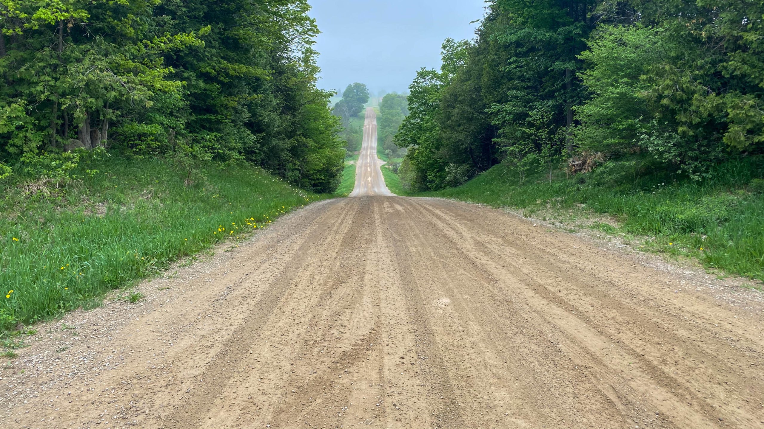
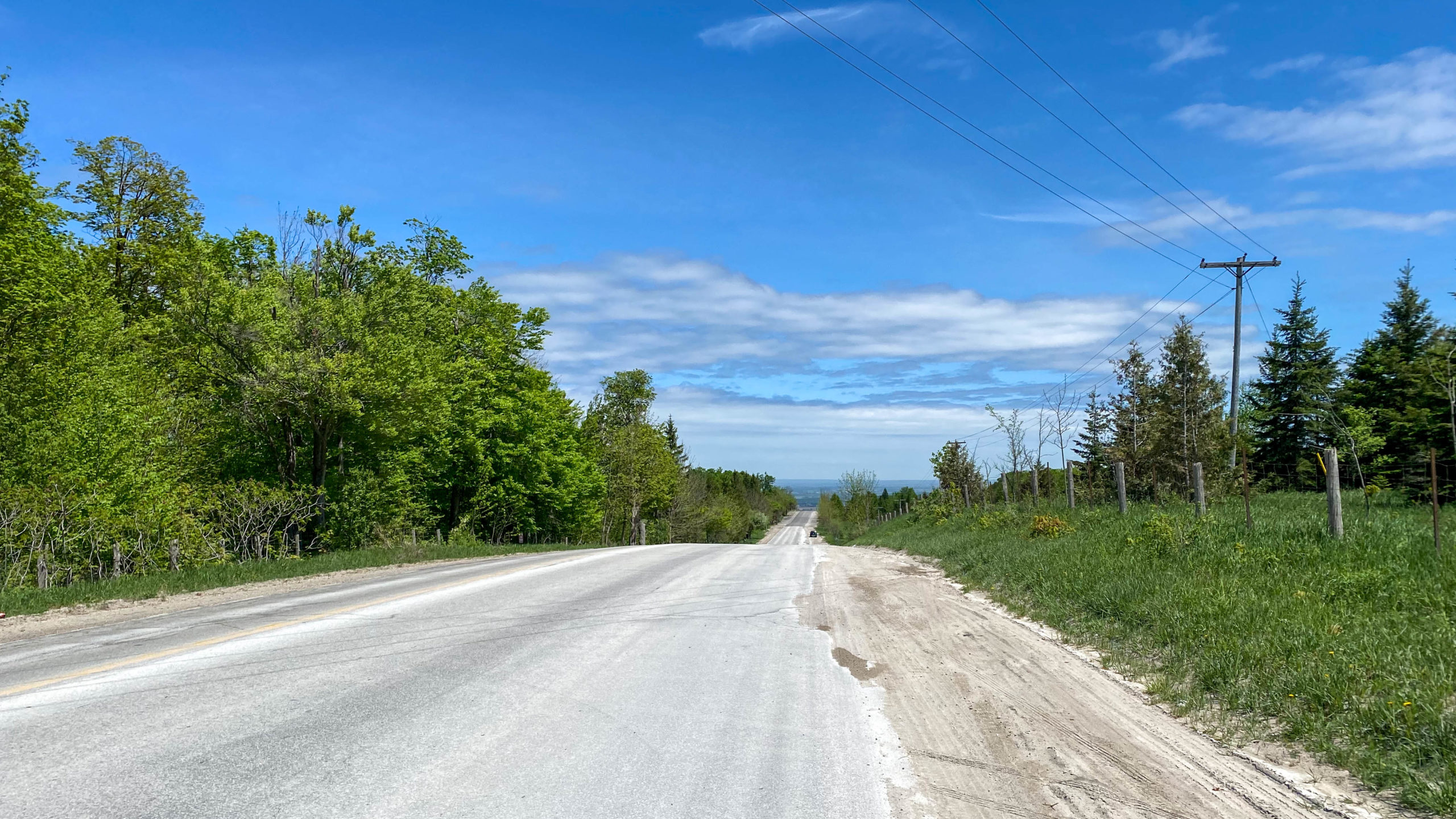
The day’s gravel ended at County Road 91, where I was presented with this amazing view, and the best downhill section I’ve ever ridden, a 15km stretch of pure dowhill right back into Creemore.
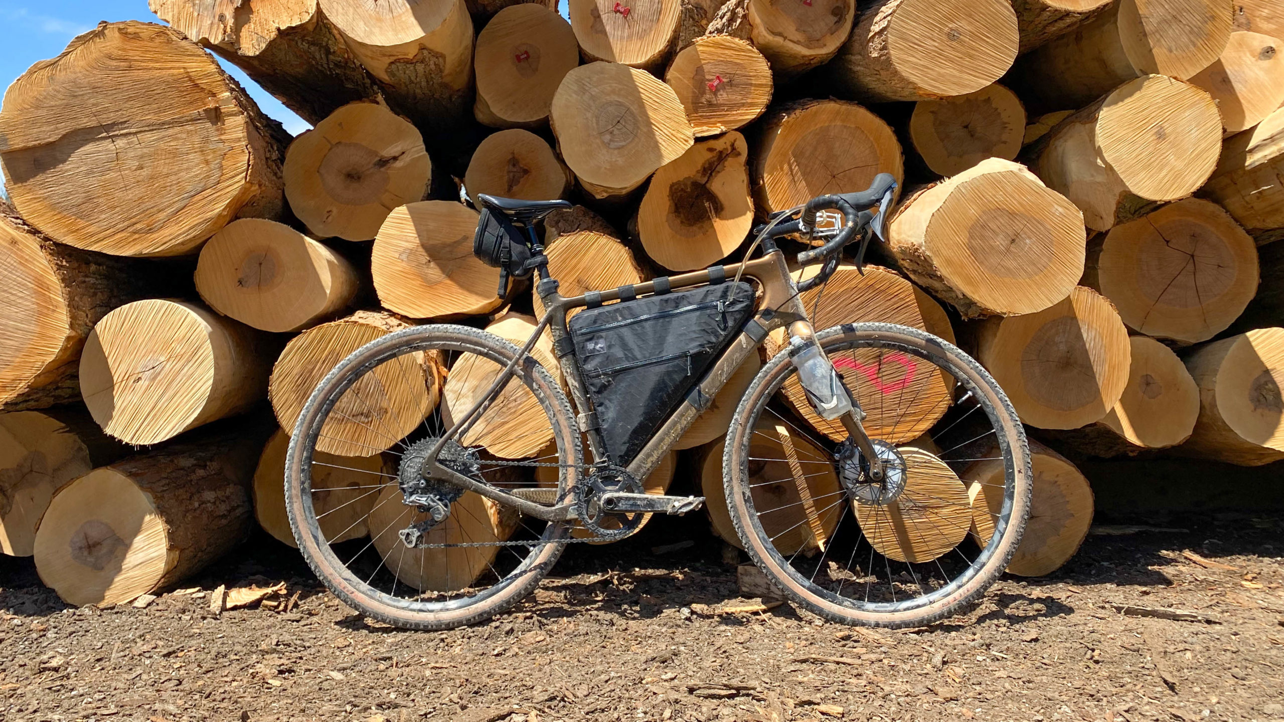
Quick photo break.
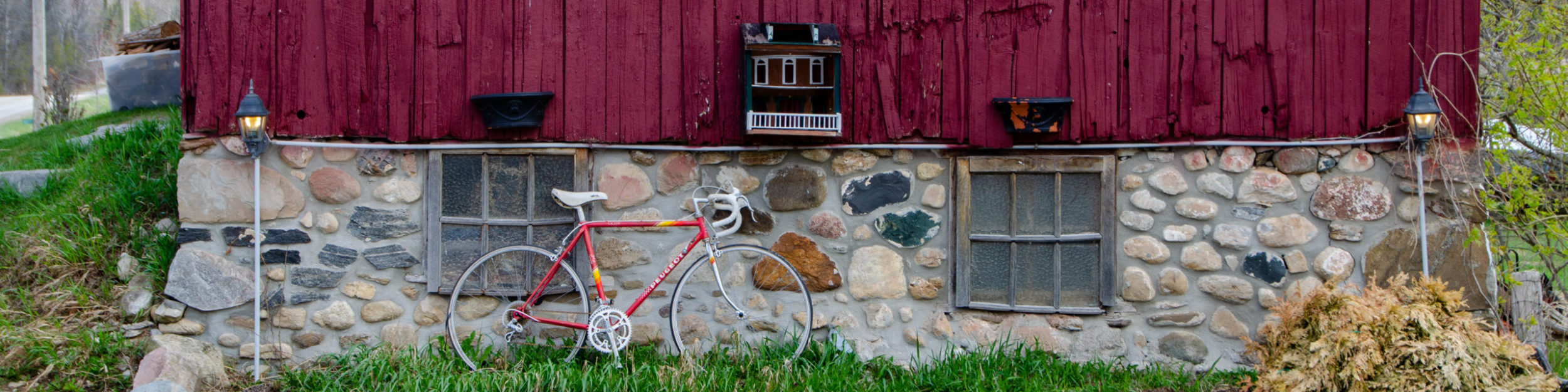
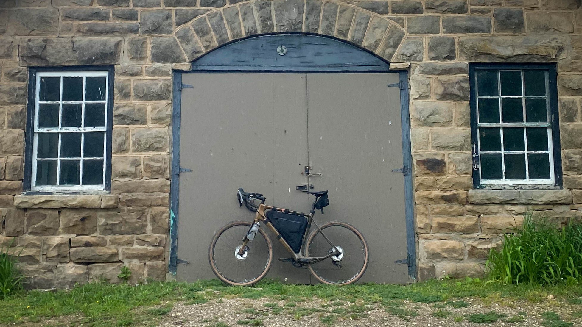
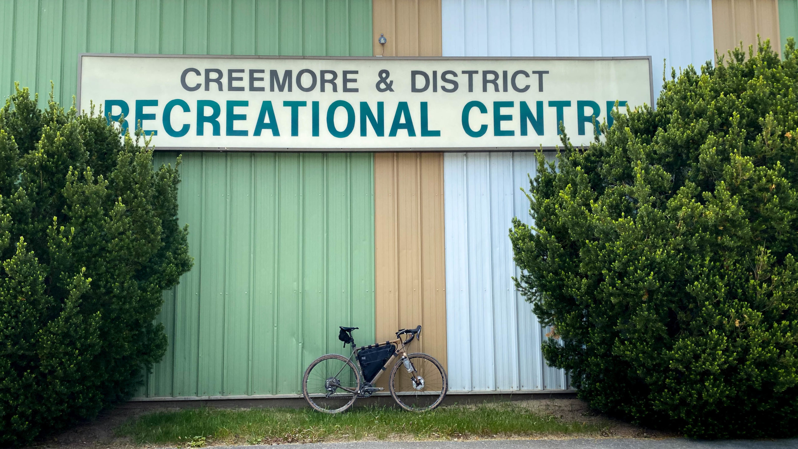
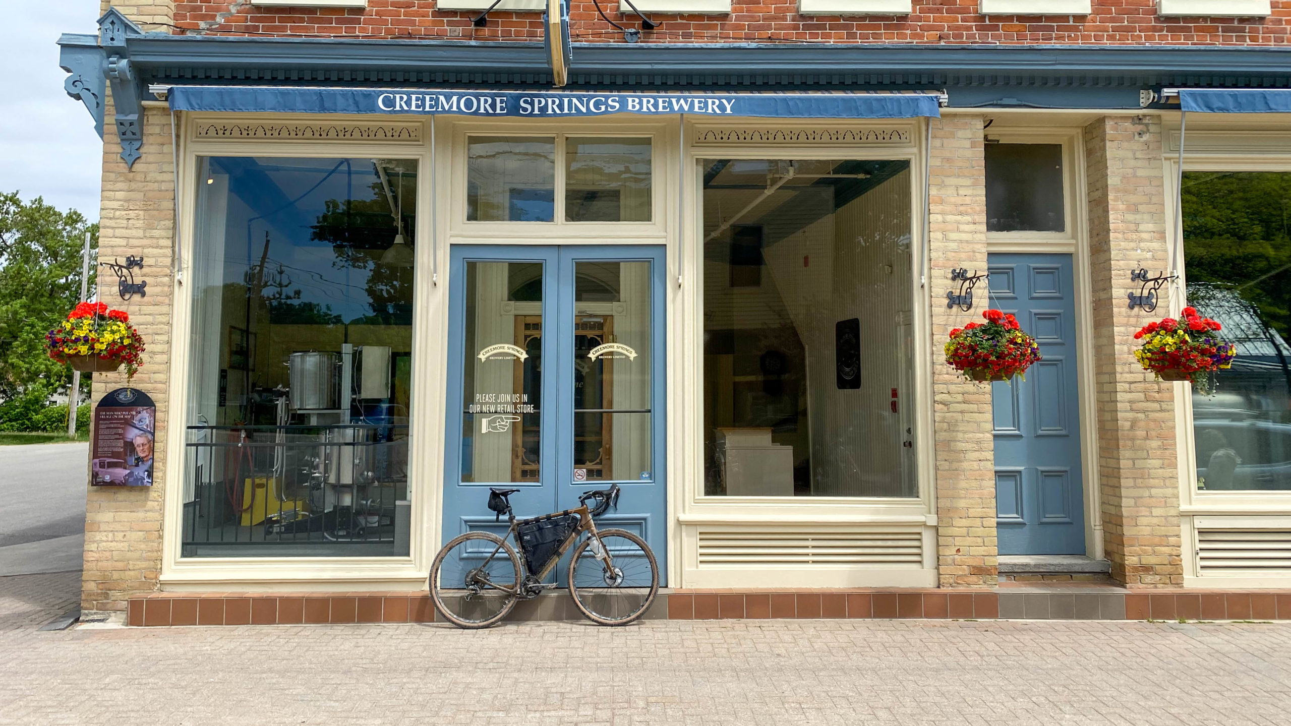
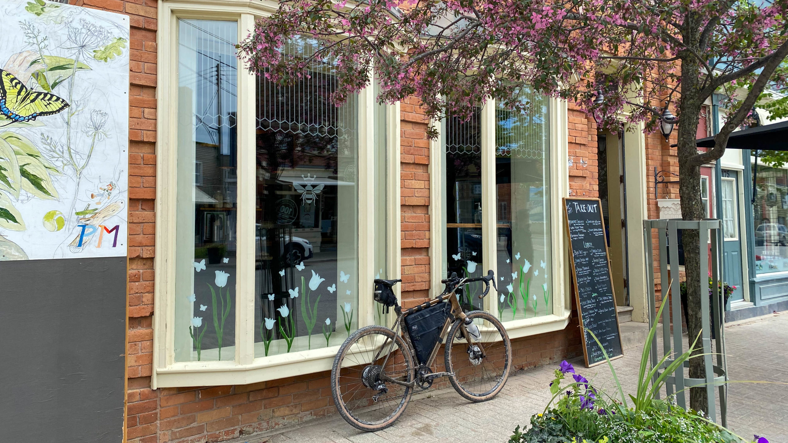
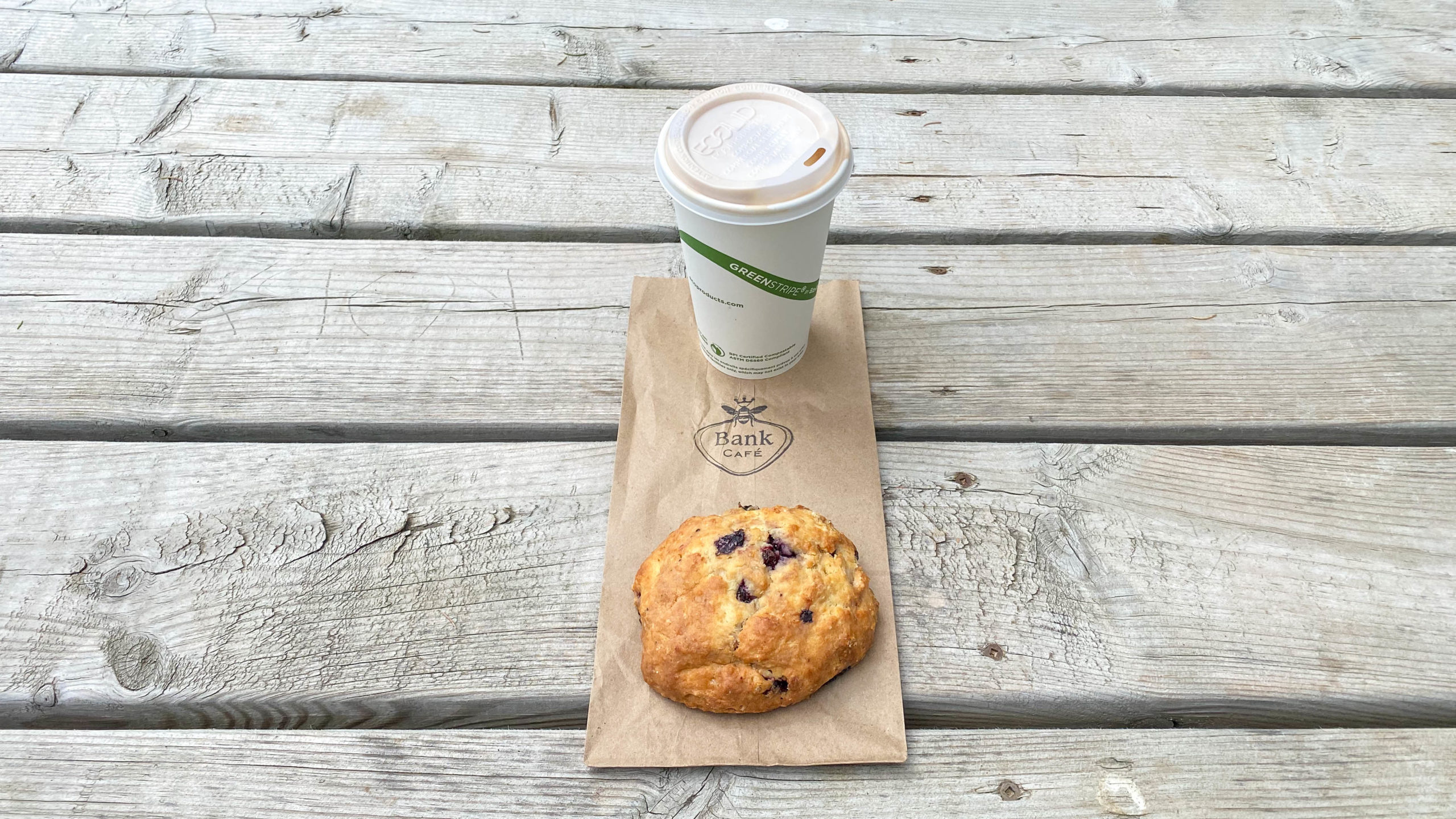
Creemore
A few photos from in and around Creemore.
Thanks for reading,
Cory