Last Updated on January 30, 2022 by Cory Kawa
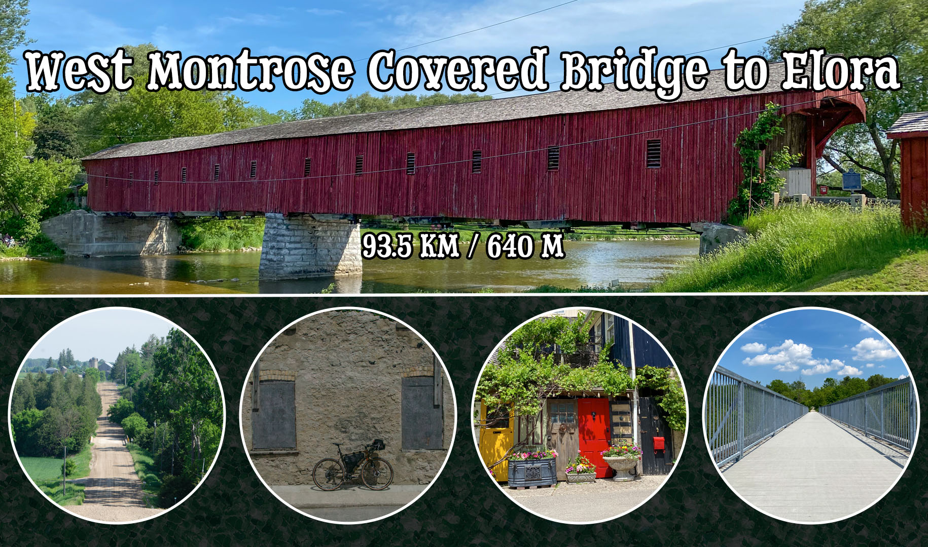
My favourite gravel ride of the year so far happened just this past weekend. The route started just outside of Guelph, followed parts of the Guelph to Goderich Rail Trail, with the highlights being the West Montrose Covered Bridge and the historic village of Elora.
The inspiration for this ride came courtesy of Ed on Ride with GPS. When I first discovered his route, I was hesitant because I recalled hearing about several recent bridge closures in the KWC area. With that, I messaged Ed via the app, and he was very helpful in helping me identify the problem bridges. Sure enough, many of the bridges he had originally routed over are now permanently closed, causing a few minor tweaks and a bit more tarmac than he originally planned.
If you’re interested, Ed’s original route can be found here, Guelph to Elora with Trestle Crossing.
Route Notes
Parking – A few spots at the trailhead, with lots of overflow room on the wide shoulders, plus lots more at other trailhead entrances further west.
Elevation Profile – 640m of climbing over 93.5km. Save for a few minor hills, it felt pretty flat.
Speed Profile – With not many climbs, smooth surfaces, and no ATV trails, it felt faster then most.
Route Profile – Roughly 20% rail trail, 60% gravel, 20% tarmac.
Safety Profile – For the most it was quiet, except for a few brief moments bypassing the bridge closures via Katherine Street and Northfield Road.
Stores – Conestogo km 21, Elora km 55, and Fergus km 70.
Favourite Part – West Montrose Covered Bridge and the historic village of Elora.
Least Favourite Part – Not much, so I guess I’ll go with forced bypasses due to bridge closures.
My Stats – 93.5km, 640m climbing, 5:36 total time, 4:29 moving time, 20.8km moving speed
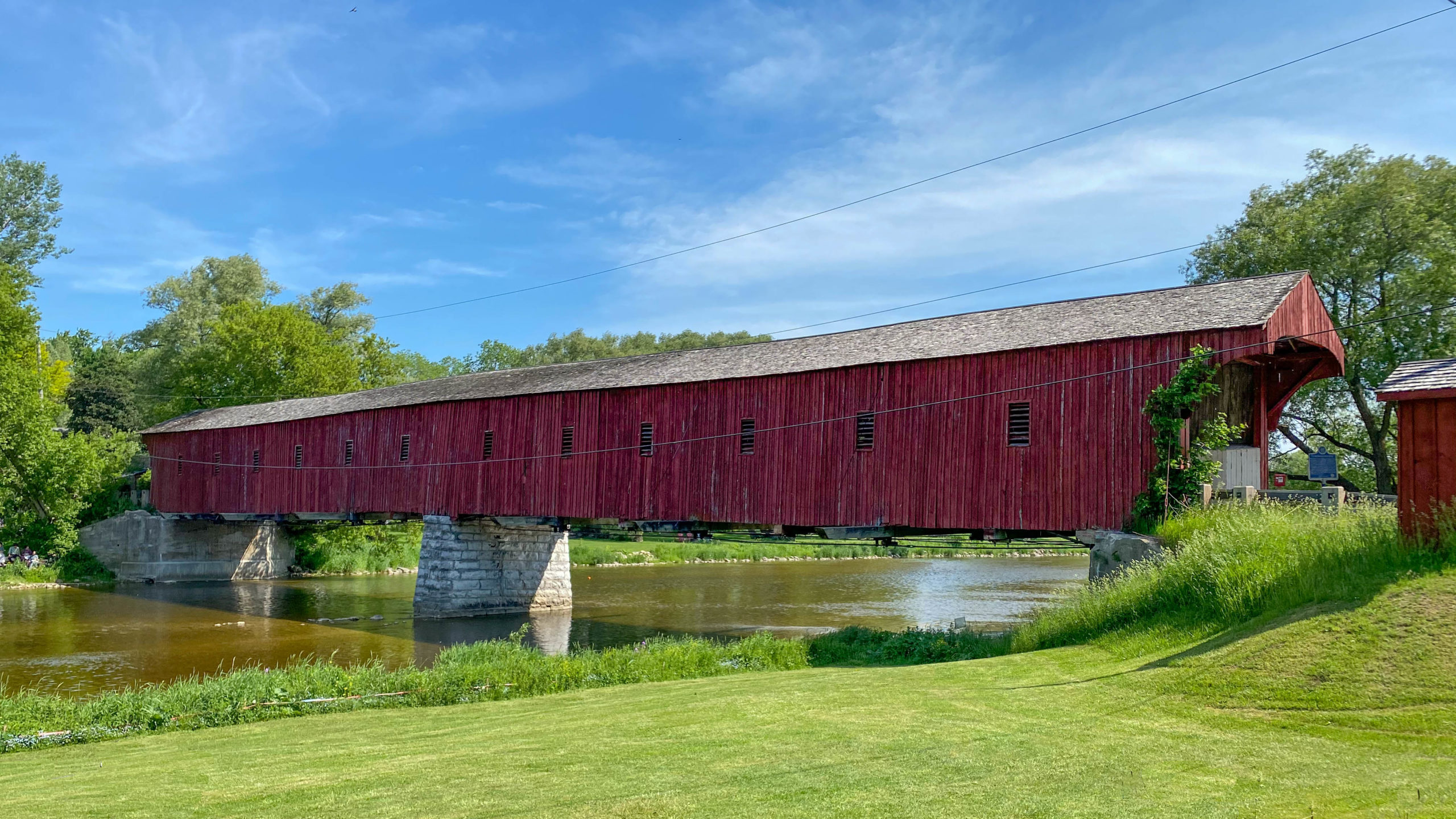
G2G to the West Montrose Covered Bridge
The ride started at the trailhead for the Kissing Bridge Trailway, a part of the much larger Guelph to Goderich trail network.
As noted on its website,
“The Kissing Bridge Trailway travels for 45 km through rural communities and rivers and wetlands of southern Ontario along the right-of-way of a former railway. You can take a 2km detour to see the West Montrose Kissing Bridge, which is the last covered bridge in Ontario. “

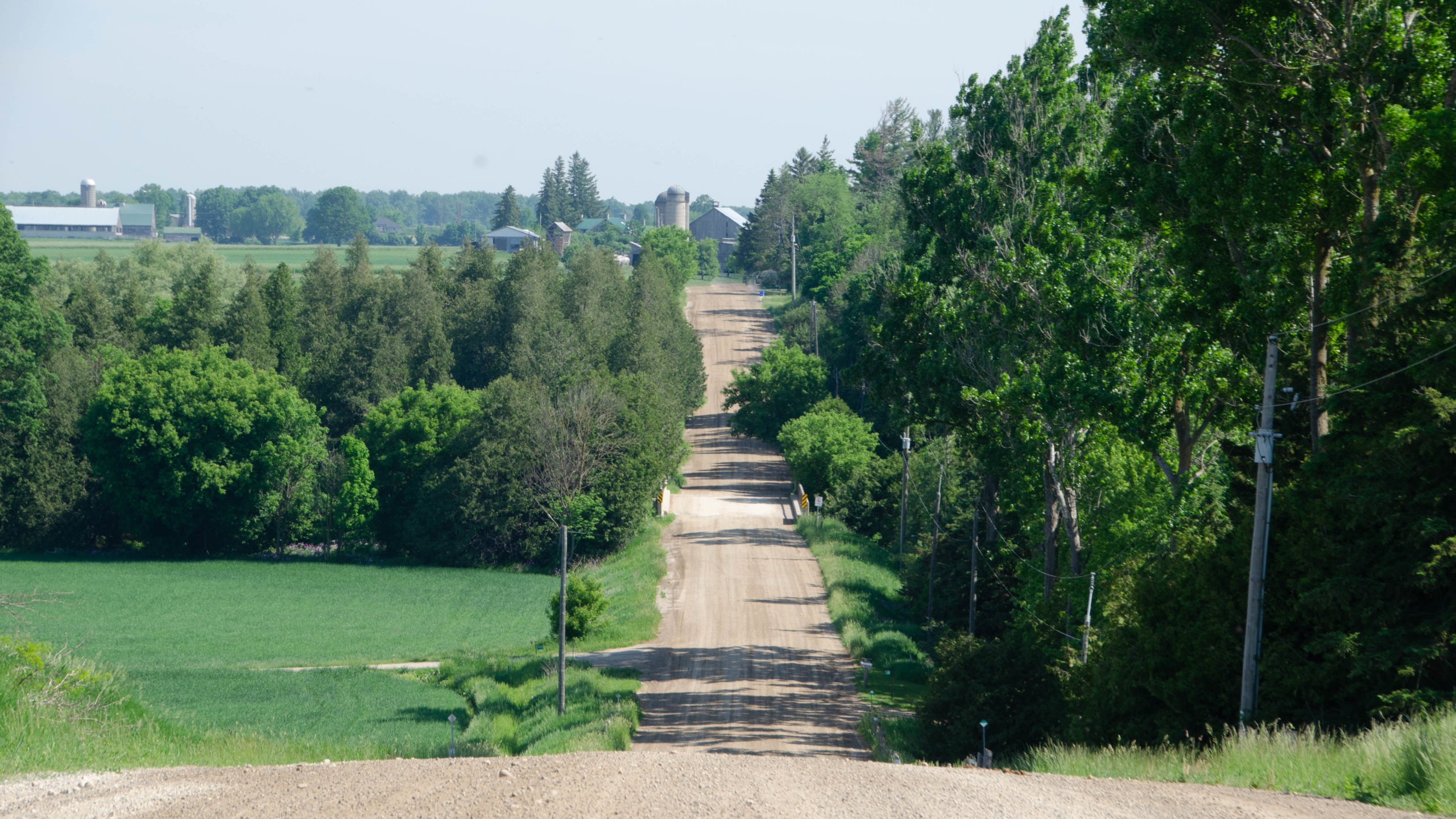
The trail was hard packed gravel with no noticeable grooves, perfect for riding.
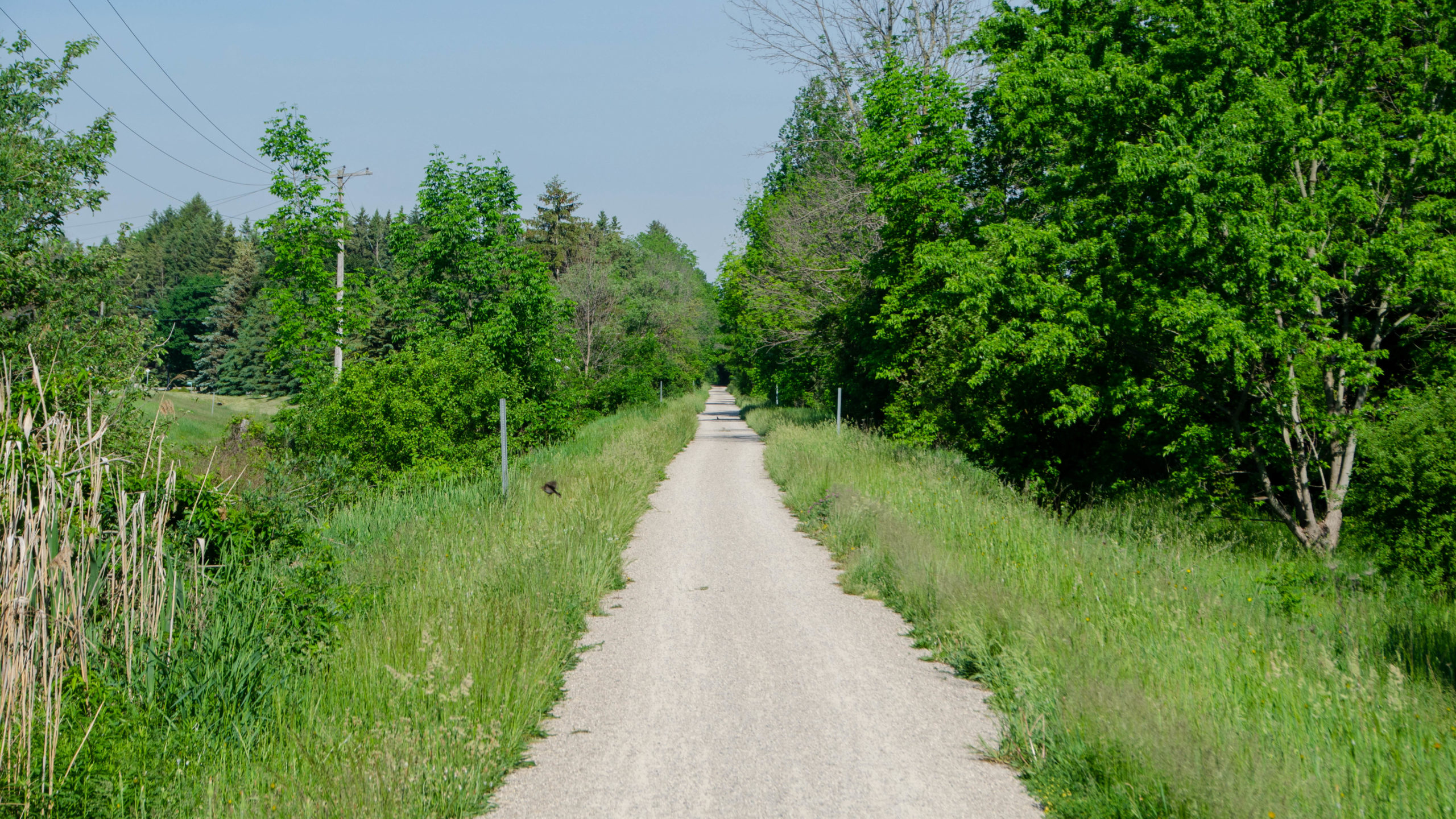
6km later, I veered off to explore the gravel between St. Jacobs and Guelph.
The gravel east of St. Jacobs.
25km in I was treated to my first view of the West Montrose Covered Bridge.
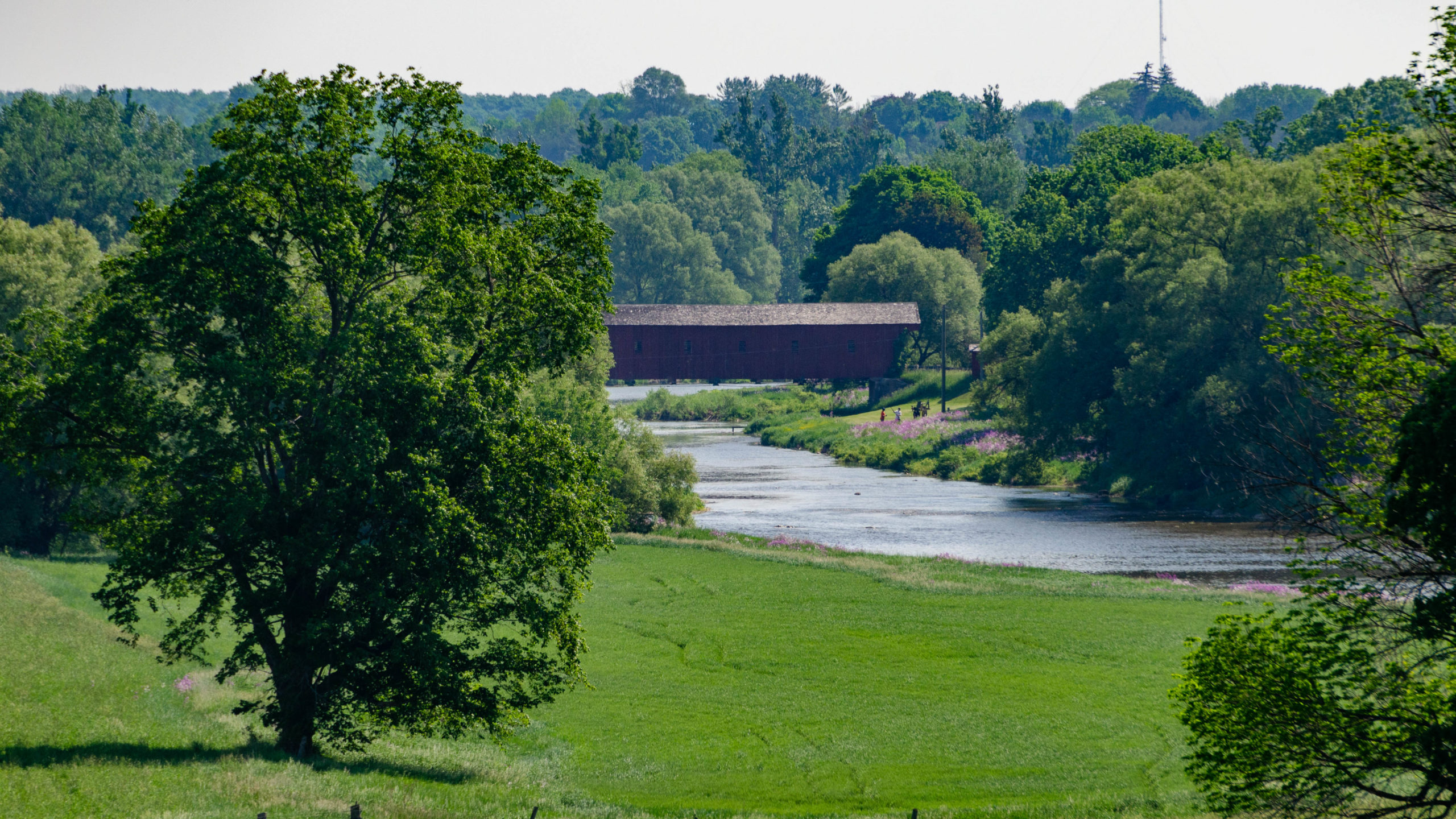
West Montrose Covered Bridge
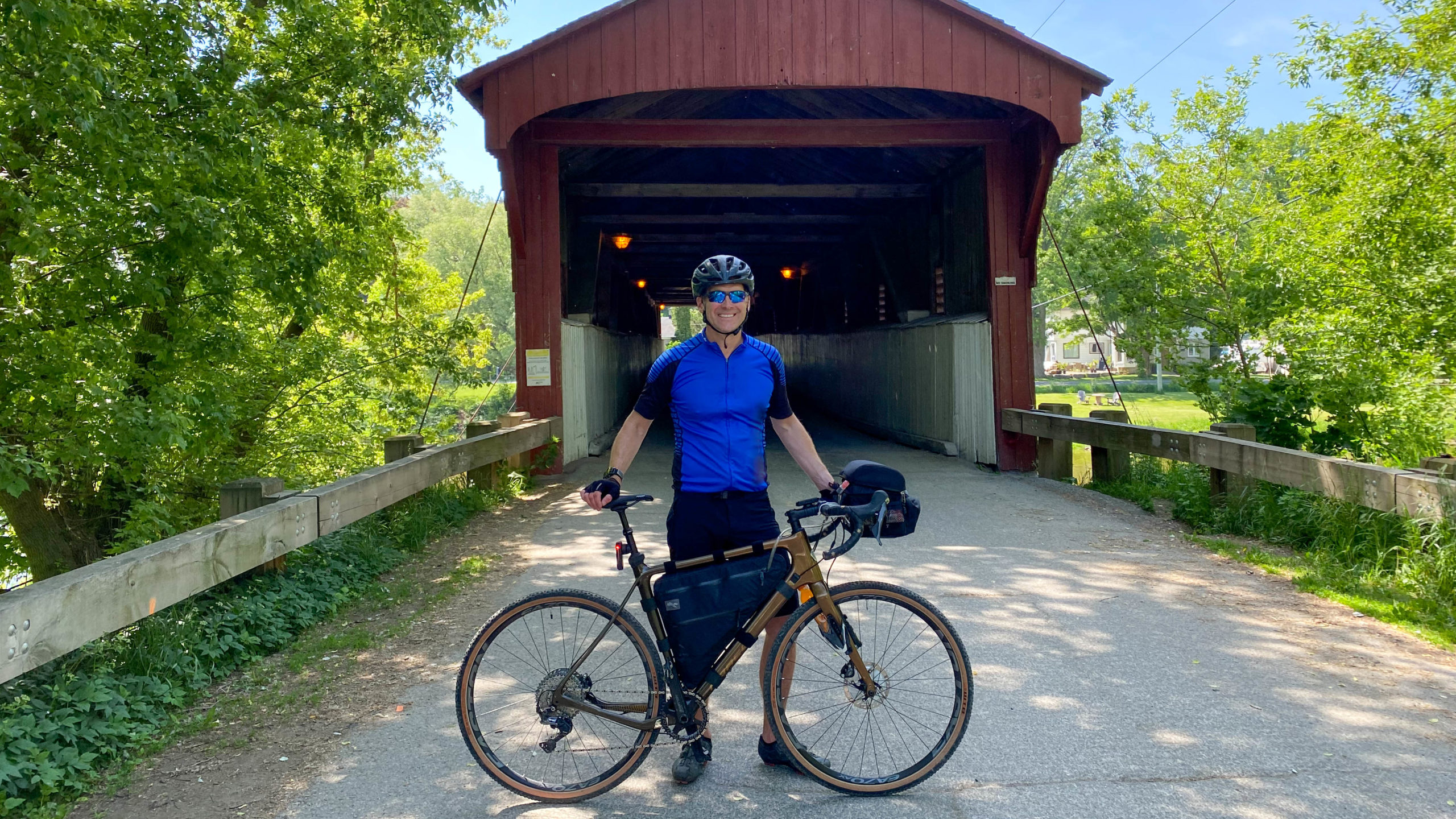
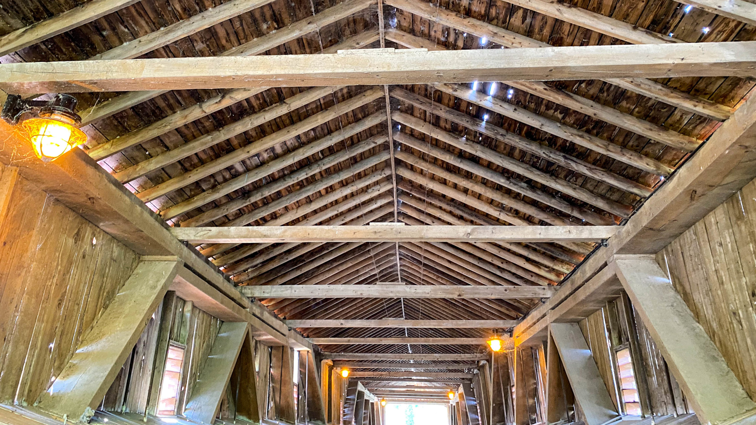
The first highlight of the day was The West Montrose Covered Bridge, noted as the only working covered bridge in Ontario.
A full list of covered bridges can be found via Dale Travis on his list of Ontario Covered Bridges.

A couple of tourists who were kind enough to take my photo mentioned that parts of the movie IT, along with many more, were filmed at the bridge.
A little Internet research uncovered that covered bridges were built to protect the wood structures against the elements, with cityhousecountryhome, noting that wooden bridges without covers would typically last 20 years, versus 100 years or more for the covered versions.
As seen from the southwest side of The Grand.
The Ride to Elora
After the covered bridge, I headed north along Katherine Street, rejoining the Kissing Bridge Trail just east of the Grand.
Whether due to my own error, or GPS error I don’t know, but this was not good, and the route above has been adjusted to remove the mistakes I made below.
Entering the Kissing Bridge Trail from Katherine Street requires descending this steep set of stairs.
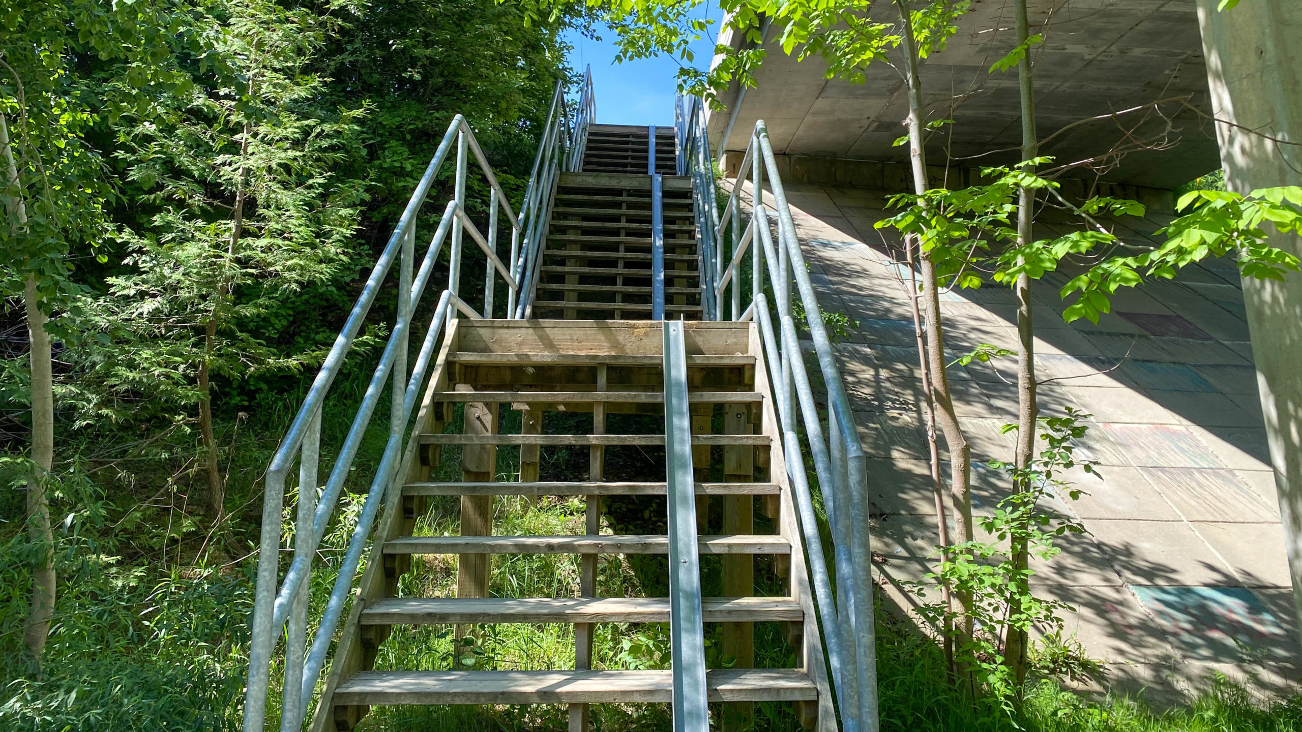
After navigating the stairs, I headed west, only to discover the trail ends a little bit east of the Grand River, with no way through, so back up the stairs I went.
After that minor detour, I was back on the road, following a mixture of tarmac and gravel for the next 20km until I hit the Cottonwood trail, a 4km stretch of double track leading straight into the Elora Gorge Conservation Area.

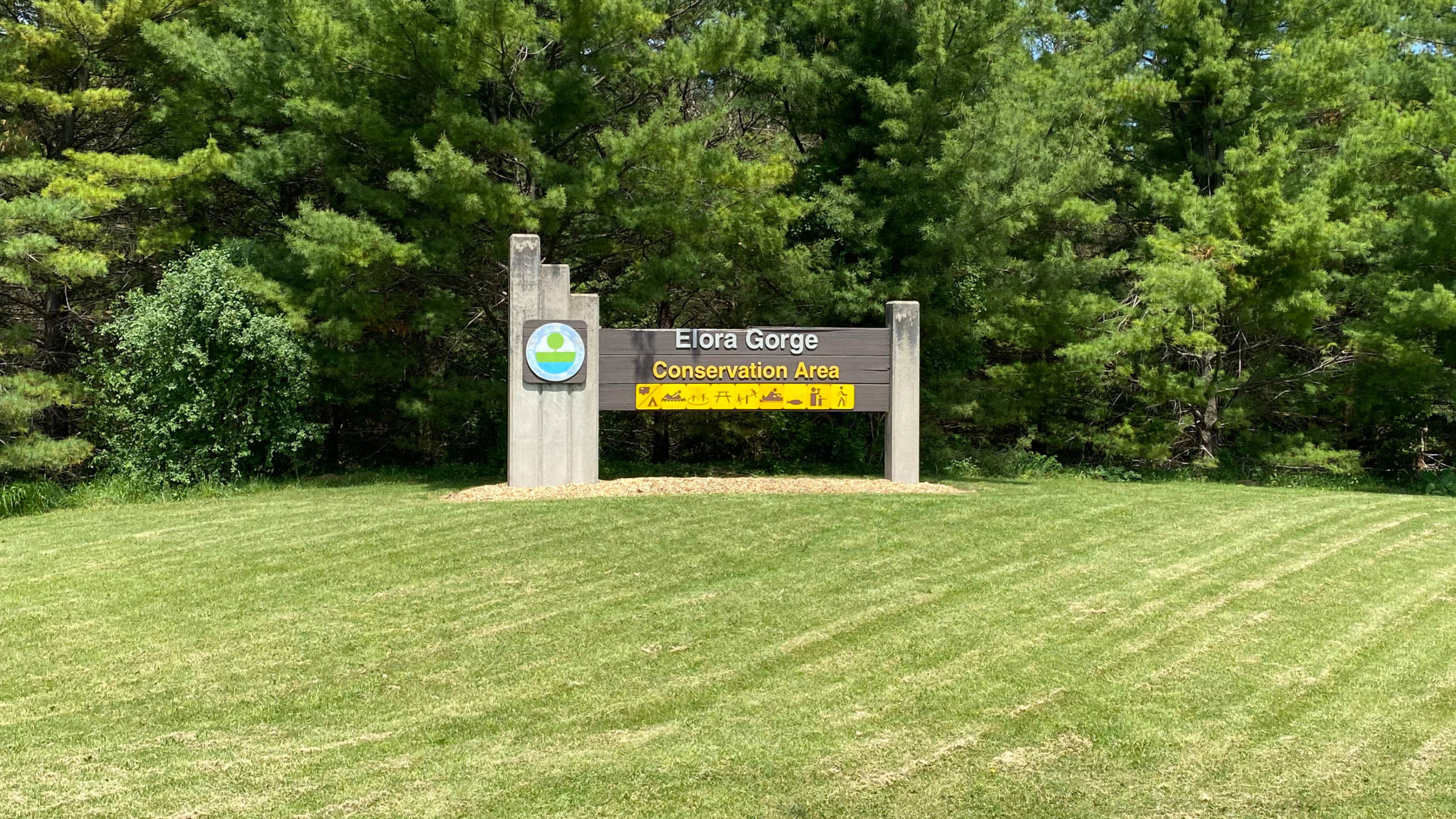
Elora Gorge and the Town of Elora
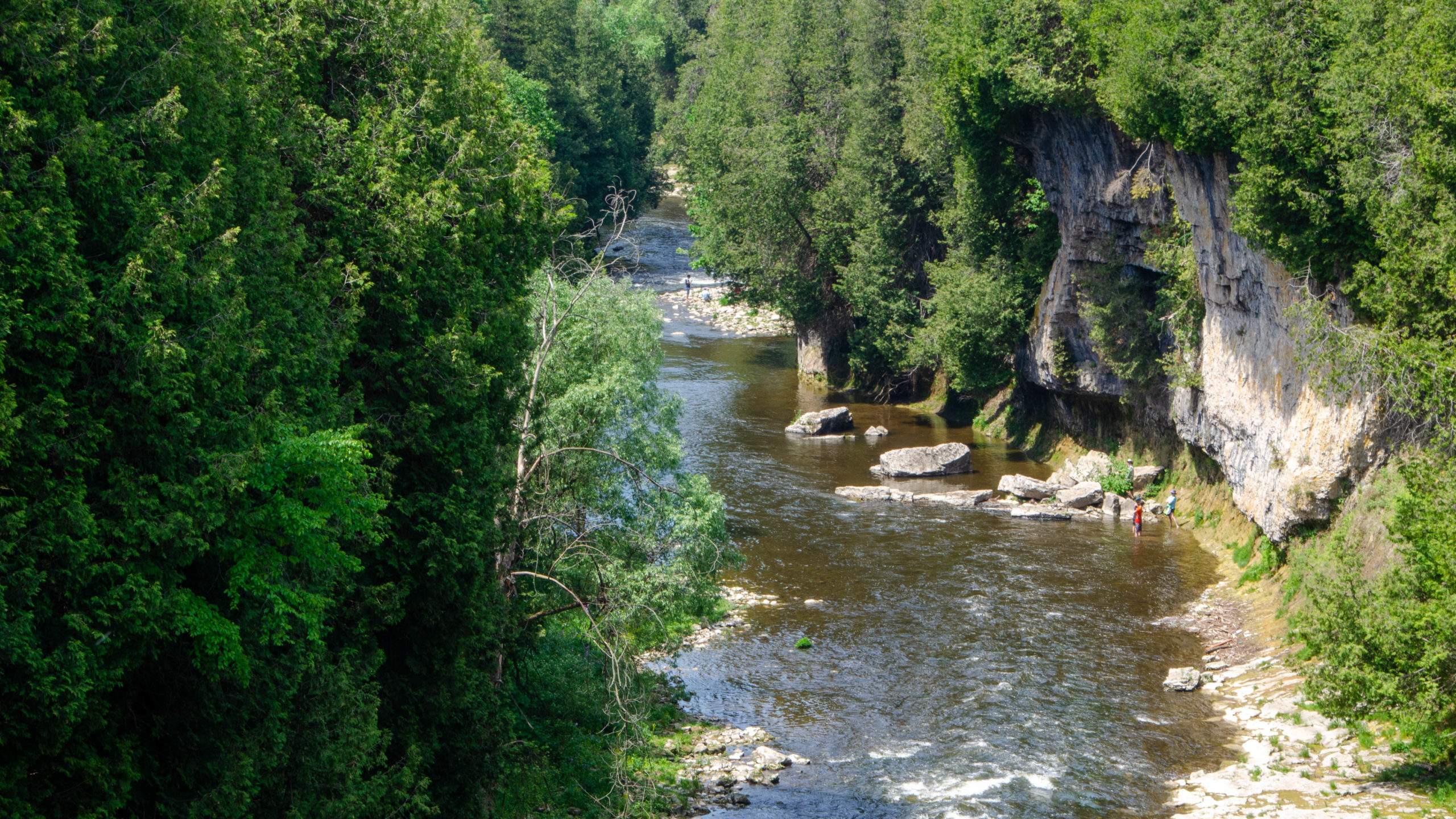
I’ve never been to the Elora Gorge and was looking forward to entering the park and checking it out. Unfortunately, you can only see the gorge from the trails, and bikes are not allowed.
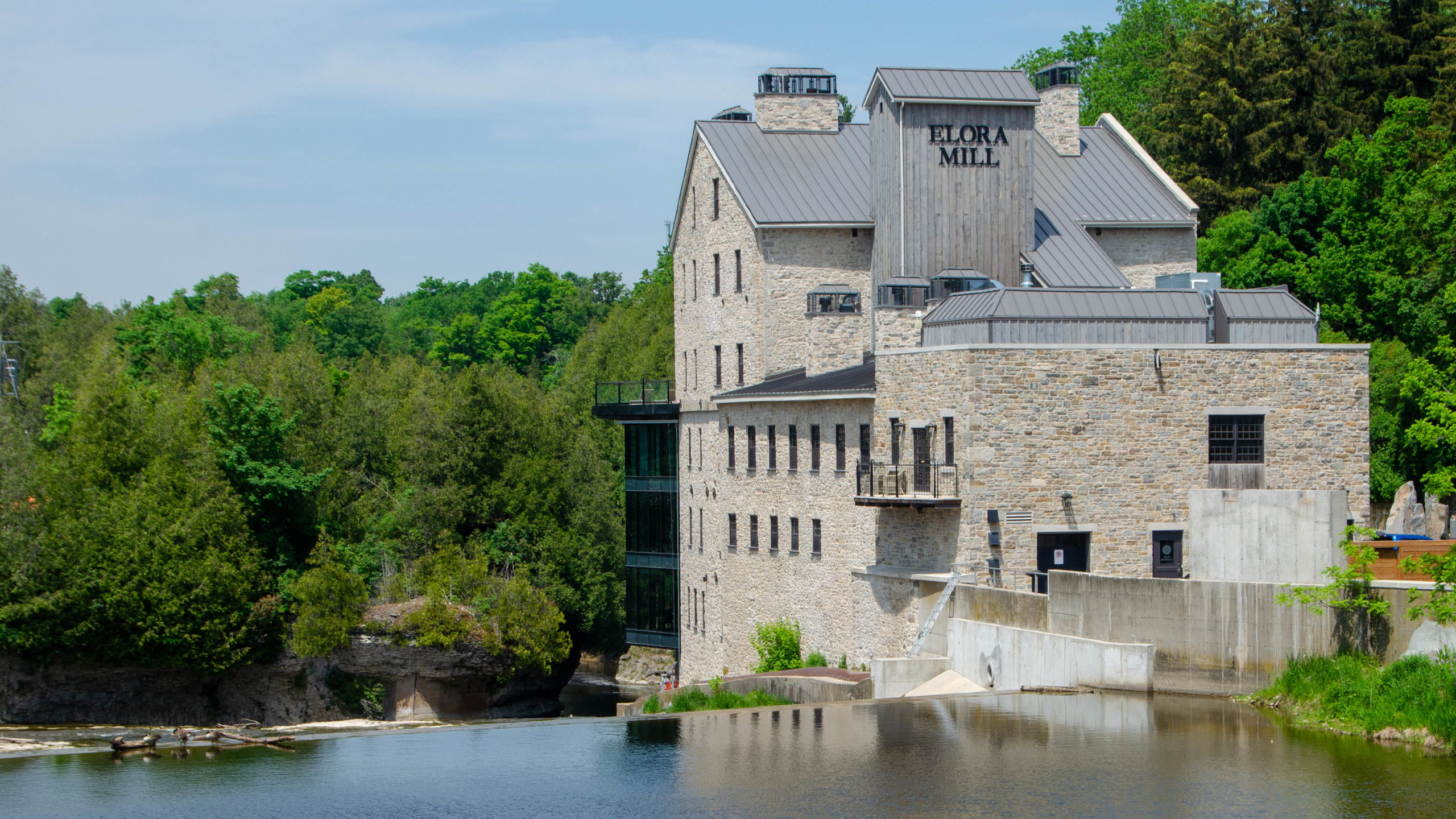
Although that was a bit of a let down, Elora itself was my second highlight on the day.
Although I couldn’t see the gorge from the Conservation Area the attendant was kind enough to direct me to Victoria Street for some epic views.

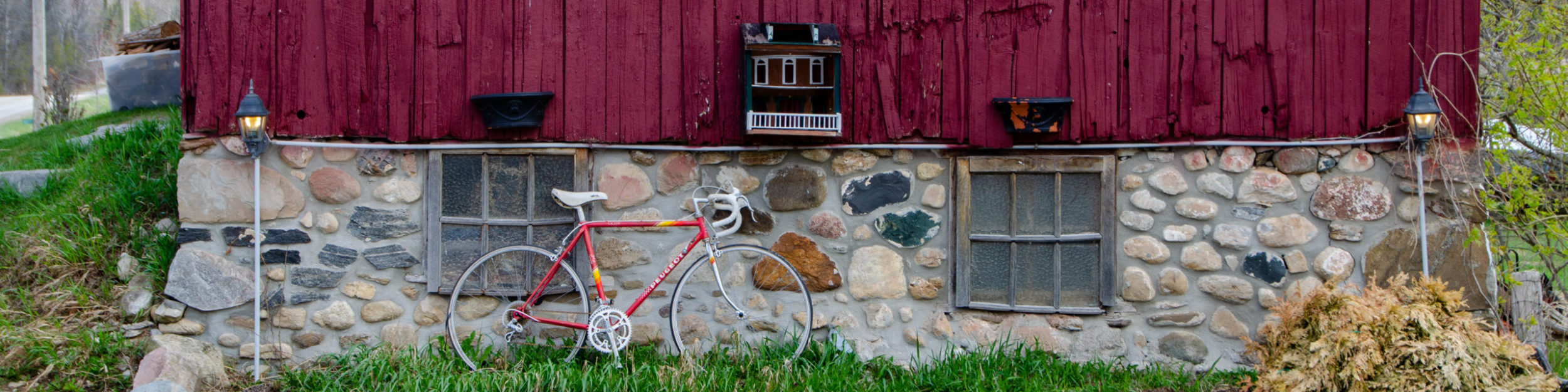
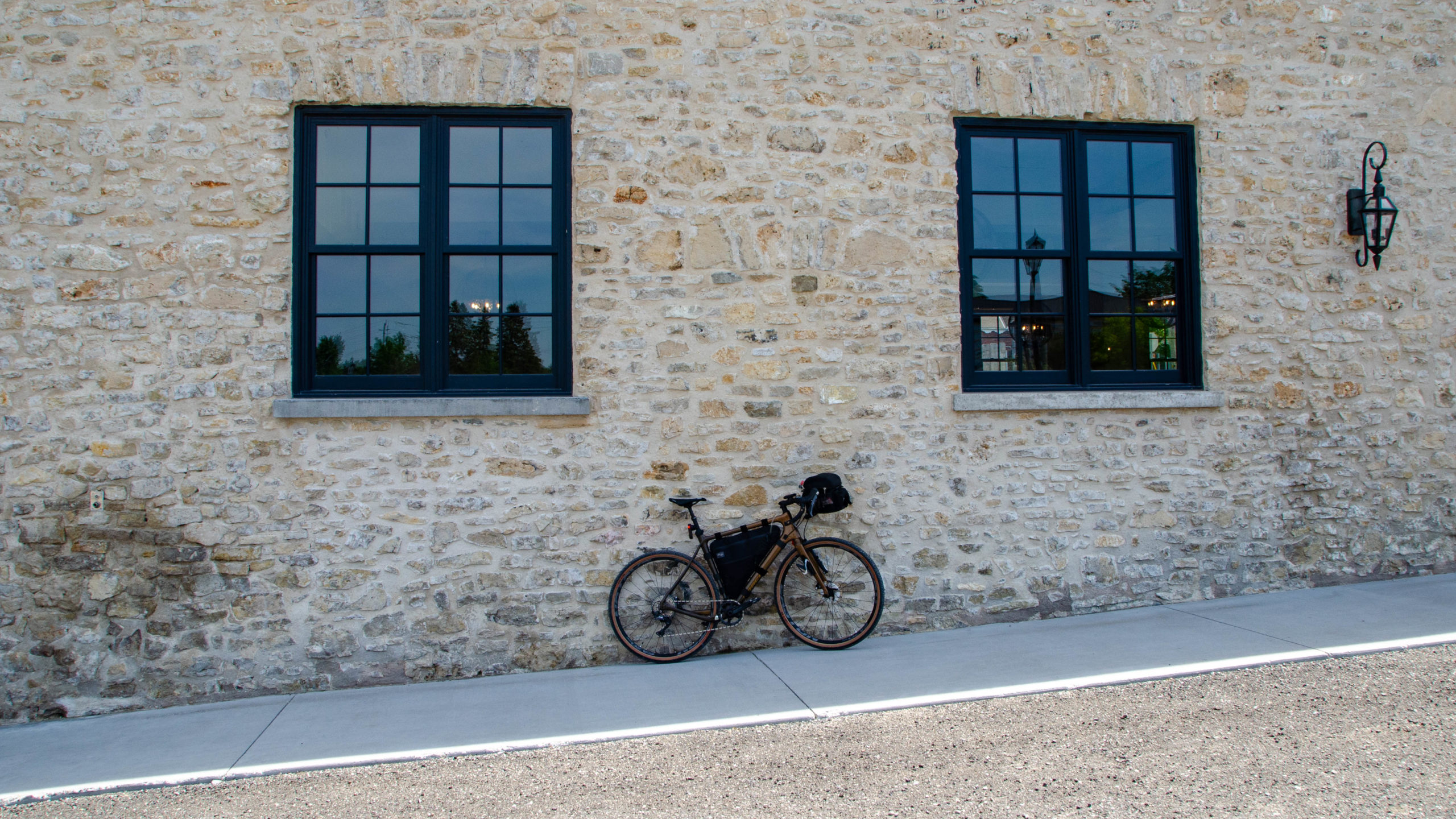
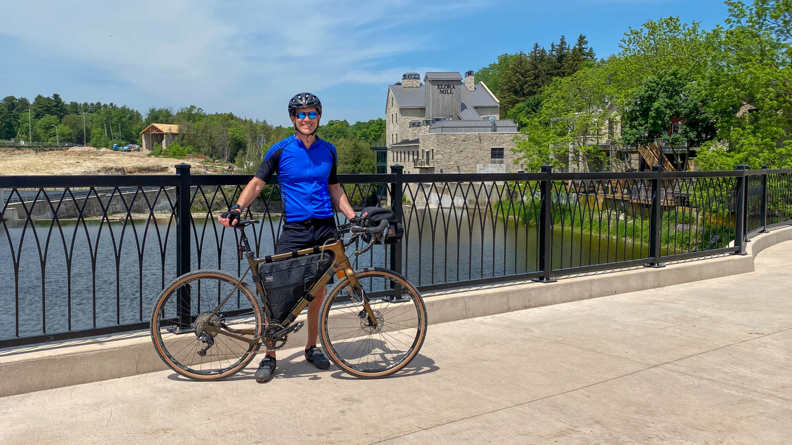
A photo of my Norco Search in front of one of the many buildings that make up the Elora Mill Hotel & Spa.
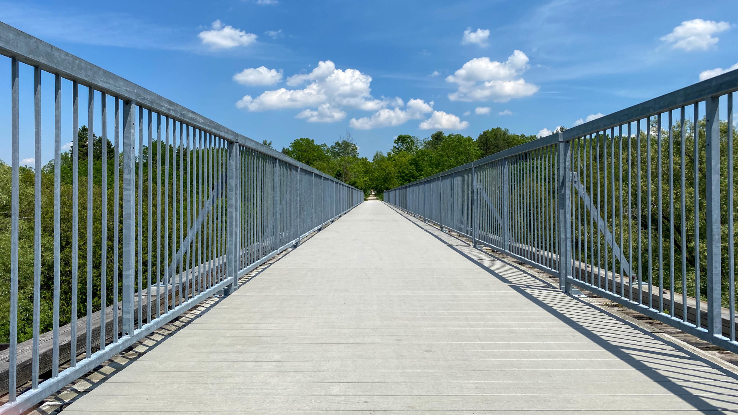
Entering the village of Elora from the Victoria Street Pedestrian Bridge.
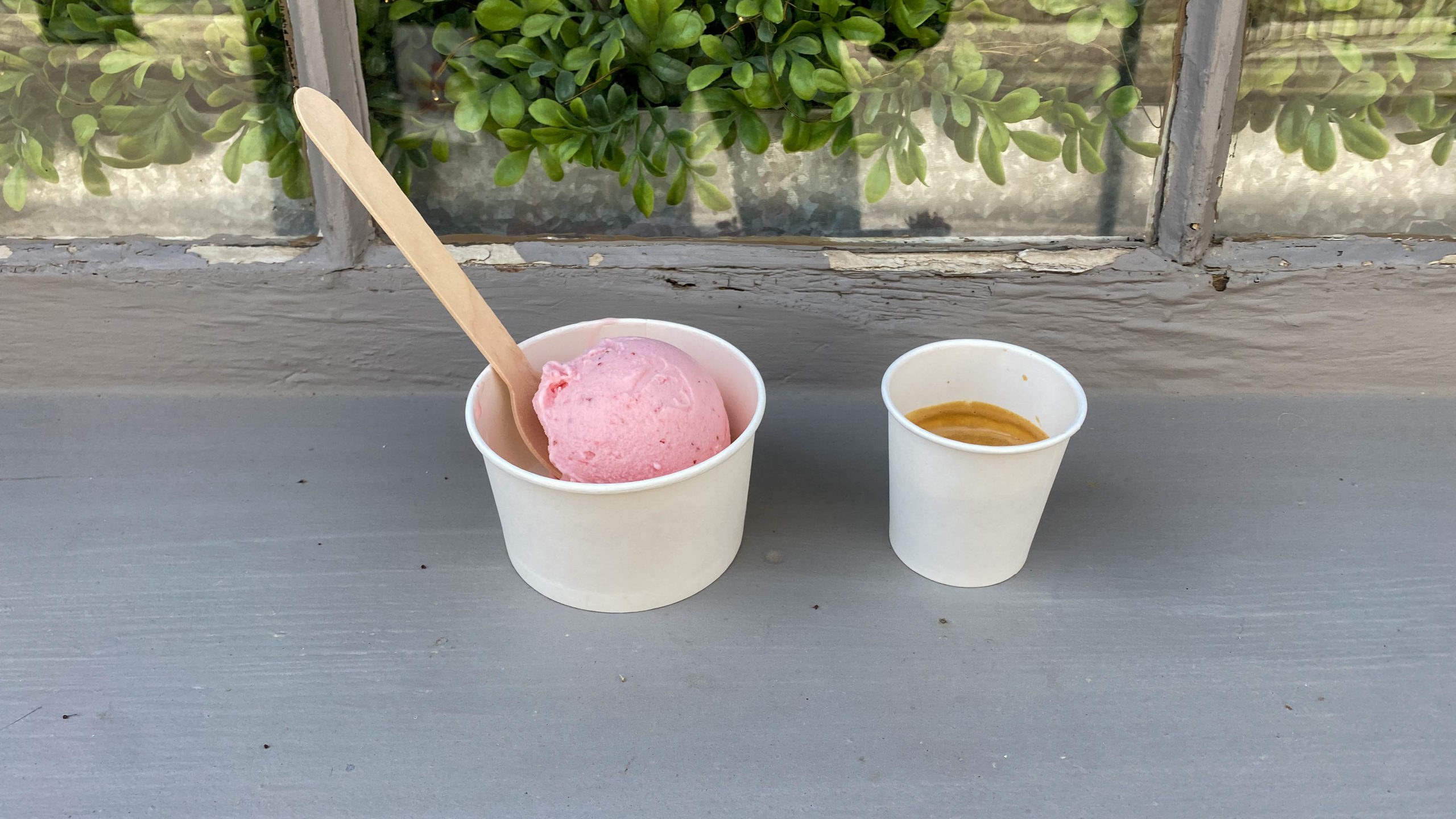
With temperatures over thirty, it was time to stop for a quick snack of handmade ice cream and a double shot of espresso from Scoop Ice Cream.
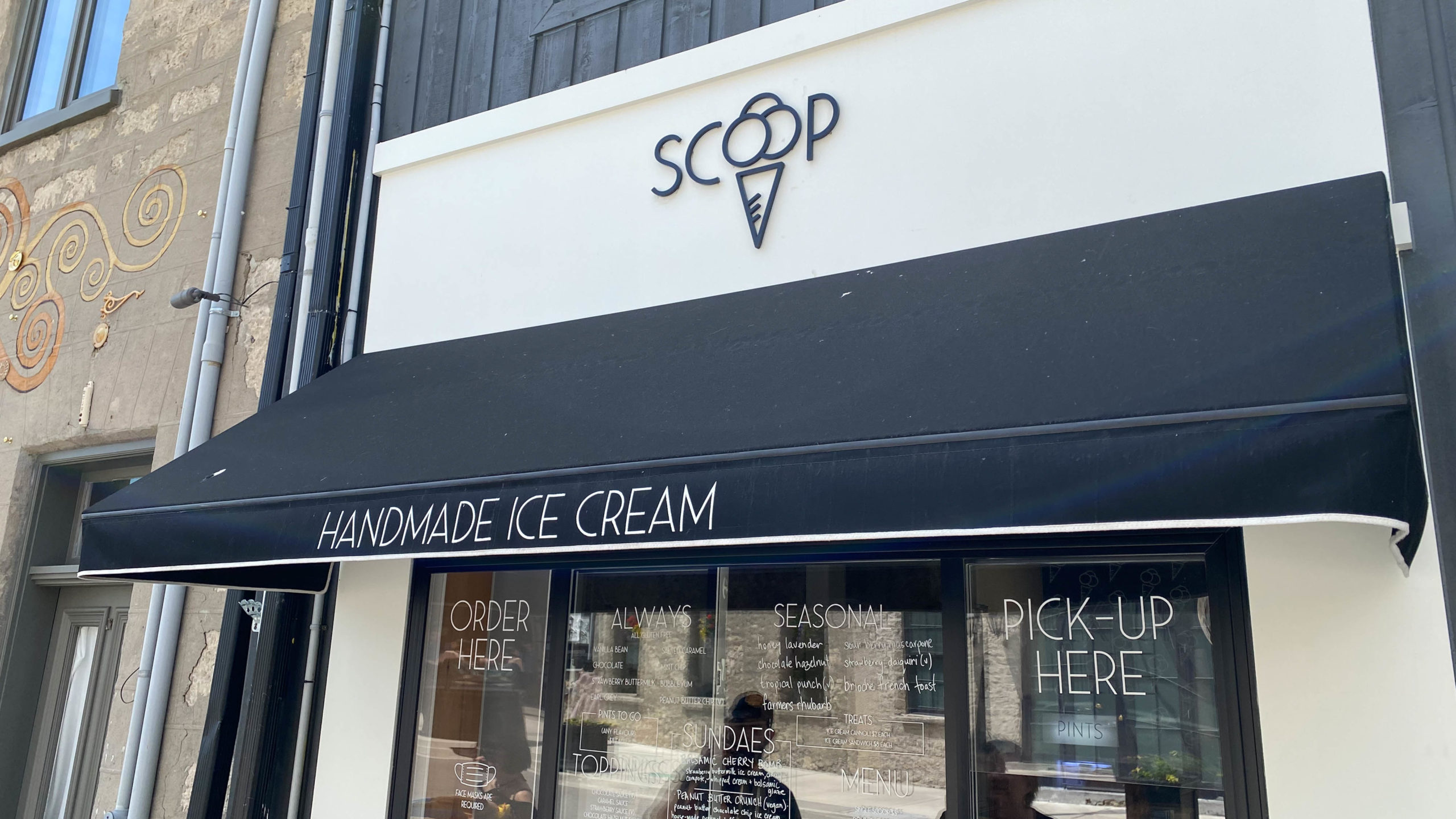
The ice cream was fantastic, the only mistake, was not ordering a double scoop.
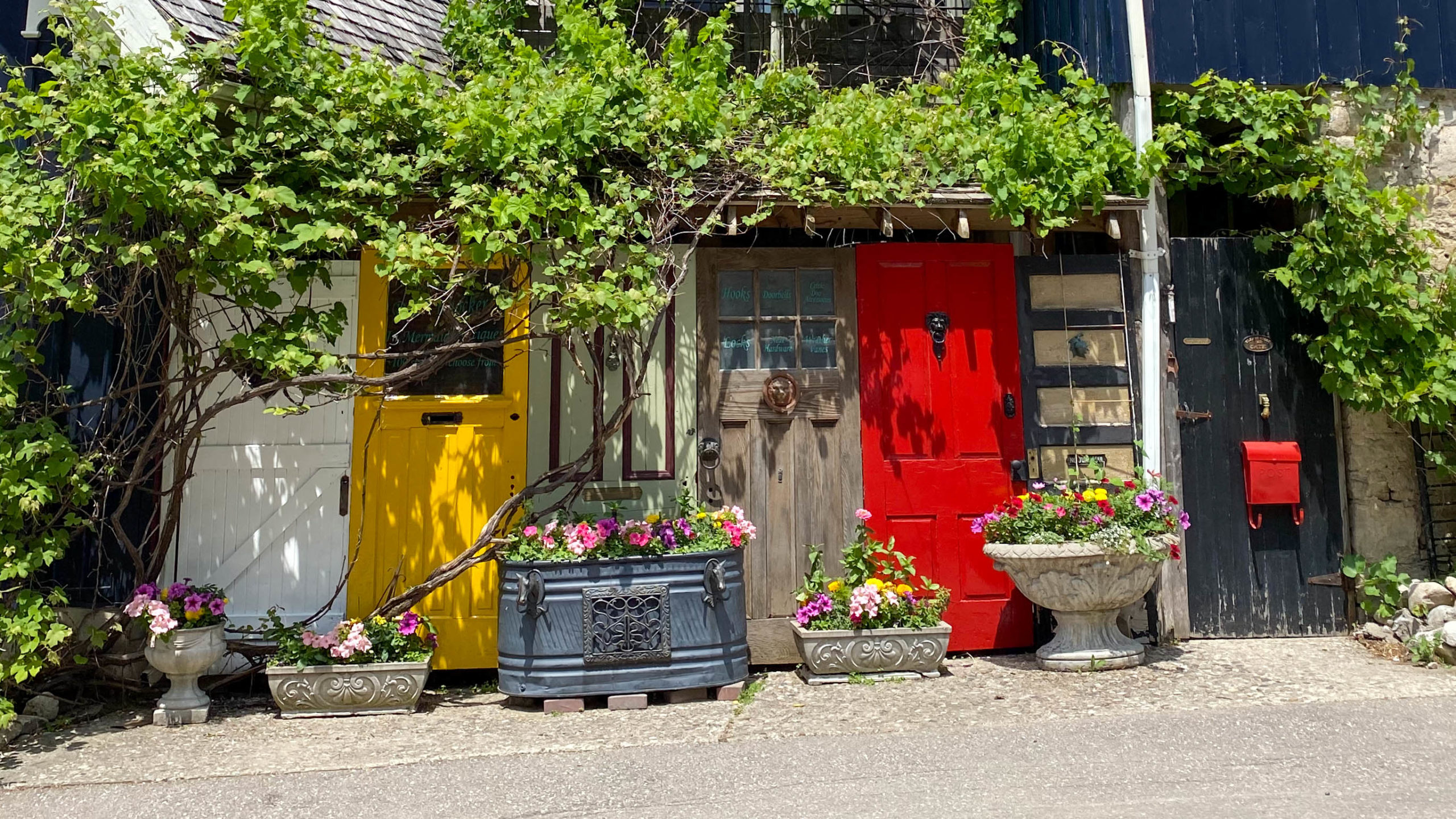
A side view of Mermaid in Elora, one of the many eclectic buildings throughout town.
Back to the Start
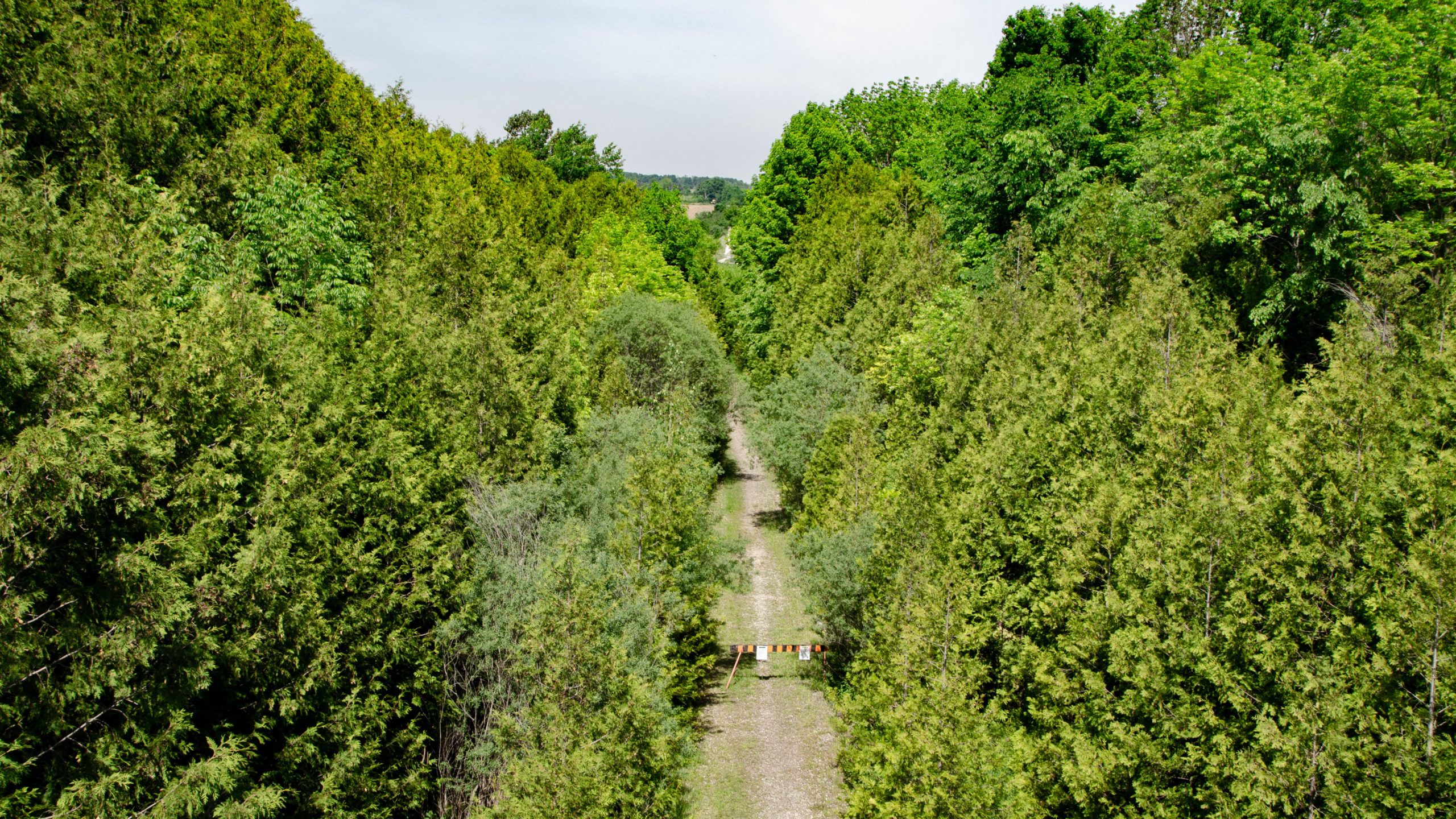
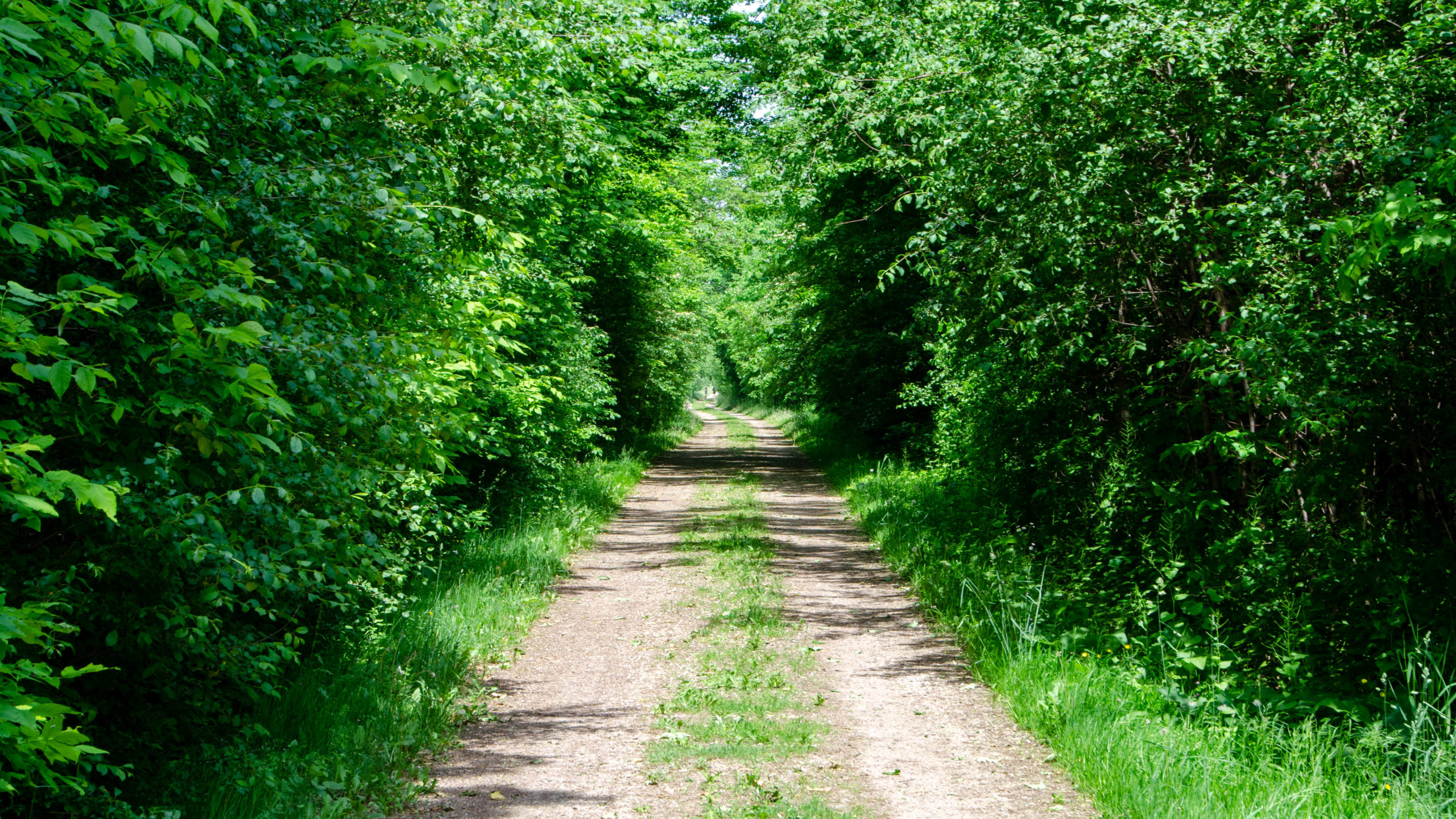
After Elora, the ride followed another 33 km of mixed gravel, tarmac, and trail.
Memorable moments included the Trestle Bridge Trail in Fergus, and the unmarked, possibly off-limits, Guelph Elora Trail.
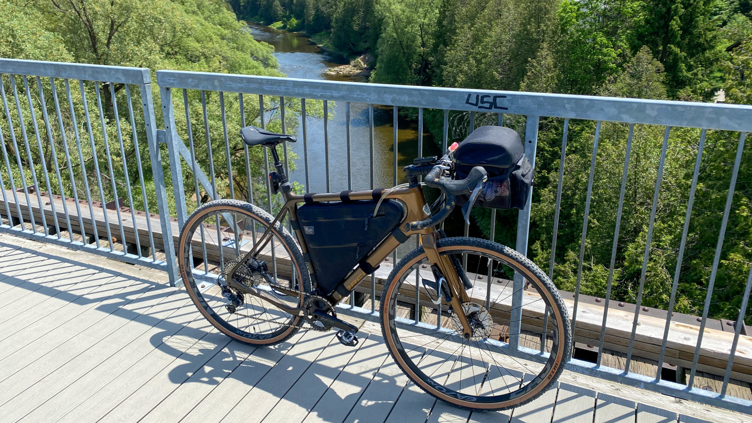
Looking east along the Trestle Bridge Trail in Fergus.
Obligatory shot of my Norco Search on the Trestle Bridge Trail.
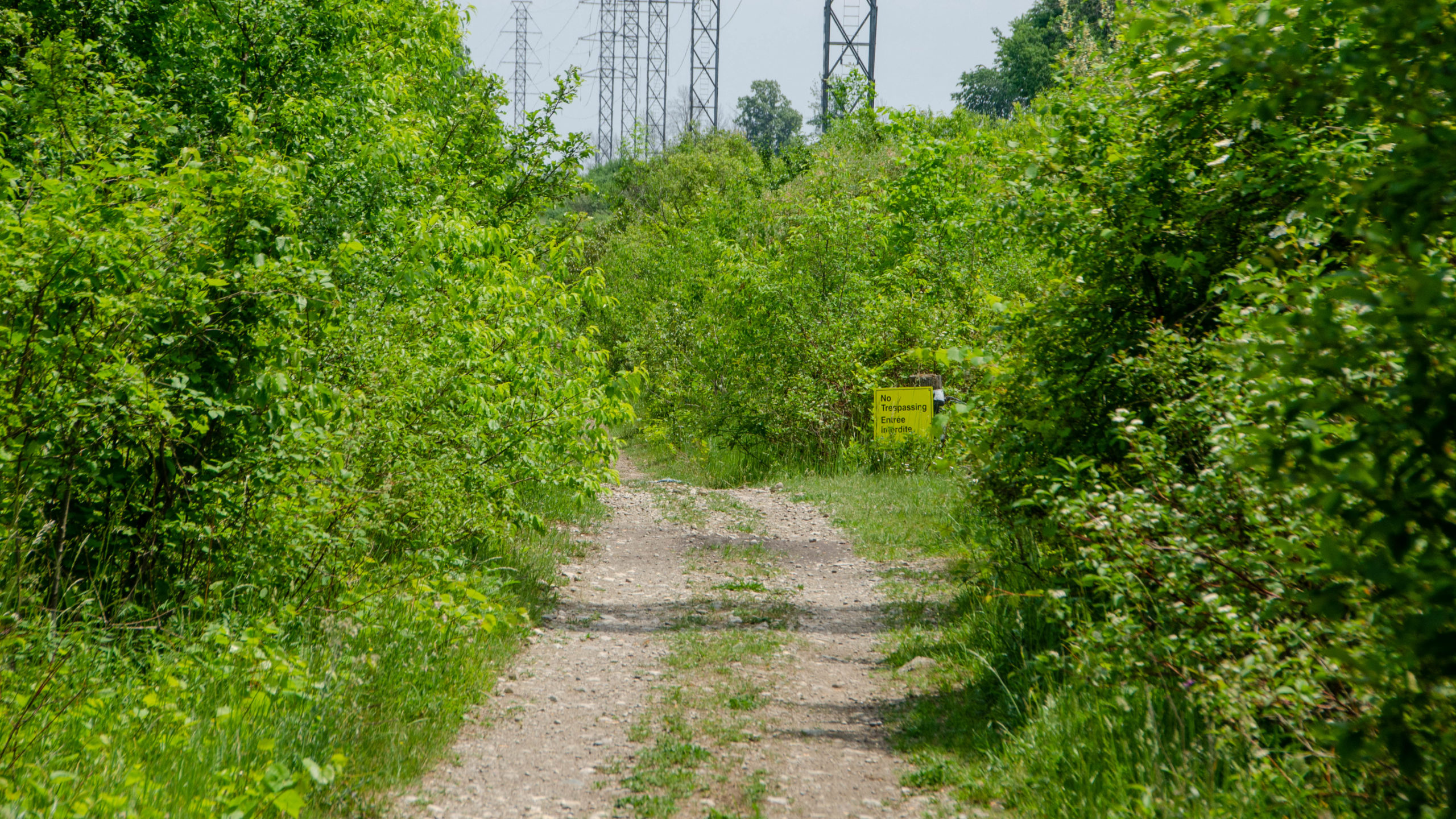
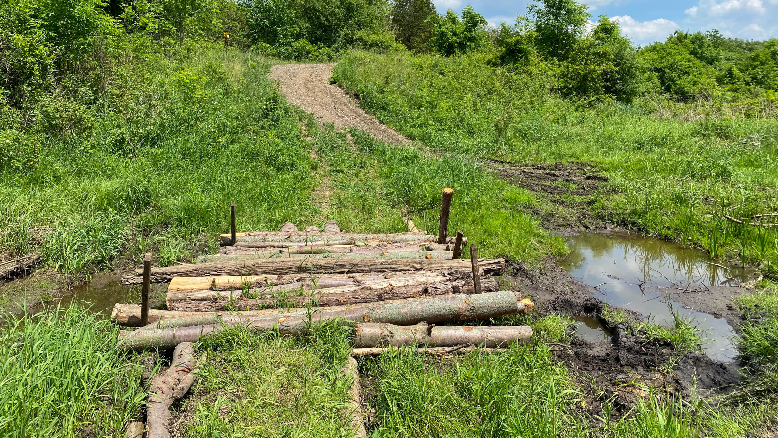
Things got interesting, with 8km to go, when I tried to find the entrance to the Guelph Elora Trail from Side Road 14.
The problem, not only was there no trail markers, but the only marker that did exist was the “No Trespassing” sign you see ahead. Also, the trail location on my GPS showed the trail being about fifteen metres to the north, but alas, no trail was there.
After much looking around, I decided to test my luck.
Not too far down the road, another surprise. Where there was probably once a bridge, there was now none. Instead, I followed this short bypass which was perfectly rideable today but could get interesting if everything wasn’t so dry.
All of this is accounted for on the route map I posted above.
After the bypass, the rest of the trail was almost perfect, with chunky gravel making for a slightly bumpy, but very rideable finish.
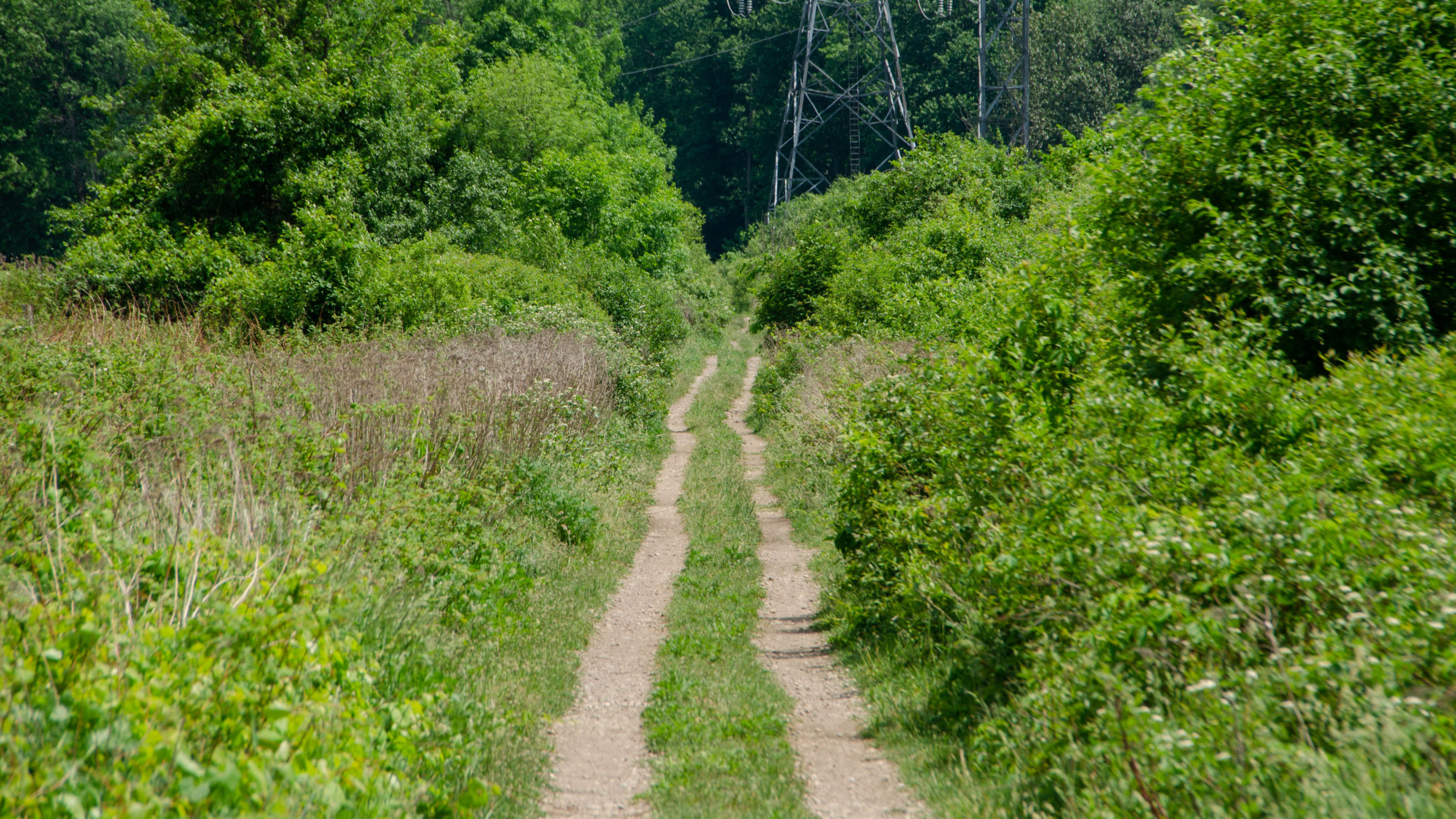
Where the entrance to the west was unmarked with “No Trespassing” signs, the exit to the east was fully gated.
Does anyone know if this is an actual authorized trail?

Thanks for reading,
Cory
Hi Cory,
I really enjoy reading your detailed gravel ride/route experiences.
2 friends and I had a great ride yesterday following your route thru Elora, etc.
Look forward to reading more about your adventures.
James
Thank you so much for the kind words, and I’m glad you enjoyed the route. I like riding them, exploring new places, then reliving them afterwards. It’s cool to know that someone sees value in them as well 🙂
What a fantastic account of your trip. so much that I downloaded the route and followed your corrected route just yesterday. It was fantastic! Great route and riding along it I could hear some of your commentary in my head. I was very happy to find your posting when I was looking for a nice gravel ride. I also took my Norco Search XR (steel version) on this trip! That final trail section still has the “no trespassing” yet I still found others along the trail; my guess is what seems like a hydro corridor itself is permitted and the hike-a-bike section is still there.
Amazing and thanks for the comment. That was definitely one of my favourite trips this year. Another favourite, The Motherload Loop 1.
Love your blog! A few of us were thinking of doing this loop next weekend. We have never done this one before, so we plan on using your route. Any recomendations? Or, we would love to ride with you! Thanks Cameron
Hey Cameron, Thanks, I appreciate the feedback and hope you love the route, nothing is change on this one, just don’t worry about visiting the Gorge conservation area and Scoops was awesome in Elora. As for a ride I’m fully booked the next two weekends, so maybe early October? DM me on Facebook.
Great article! If others are interested the Region of Waterloo has a comprehensive bike map that shows infrastructure, routes, and other scenic historic bridges in the Region. Visit regionofwaterloo.ca/cycling for the map
Great post. Considering this route for next weekend. Curious as to your opinion on a road bike with gravel tires on this route? I’ll be on gravel bike, but my fiancé only has a road bike that’ll fit 30mm tires max.
I apologize for the late reply. Apparently, this got missed somehow. For any of these rides, I would definitely recommend a gravel bike, but sub-40 tires should be fine. What did you use, and how did it work for you?