Last Updated on January 28, 2022 by Cory Kawa
Another weekend, another adventure, this time the Burk’s Falls Loop with my good friend Mike from @gravelroadcanada.
The Burk’s Falls Loop is a one or two-day backwoods adventure that hit my wish list after reading these posts by Team Colin, FOTC: Tiago Varella-Cid and the Burk’s Falls Loop, and Pedal and Poetry, Riding a Painting: Burk’s Falls Gravel Loop in Autumn.
Our original plan had us breaking out the bikepacking gear, remaining true to the route, and camping at Lake Bernard Park.
Unfortunately, like my ride on the Durham Destroyer Full Monty, torrential rains were once again in the forecast. With that, our two-day bikepacking adventure morphed into something different but equally as exciting.
The new plan, car camp at Lake Bernard Park, ride the shorter section west of Hwy 11 on Saturday, then finish up on Sunday with the longer and more technical eastern half.
My write-up for the western half is in the works, but for now, let’s look at day 2, Burk’s Falls east past Edgewater Resorts, north through the ATV trails and back to Lake Bernard Park.
In short, the almost 50km after Red Canoe Restaurant was epic.
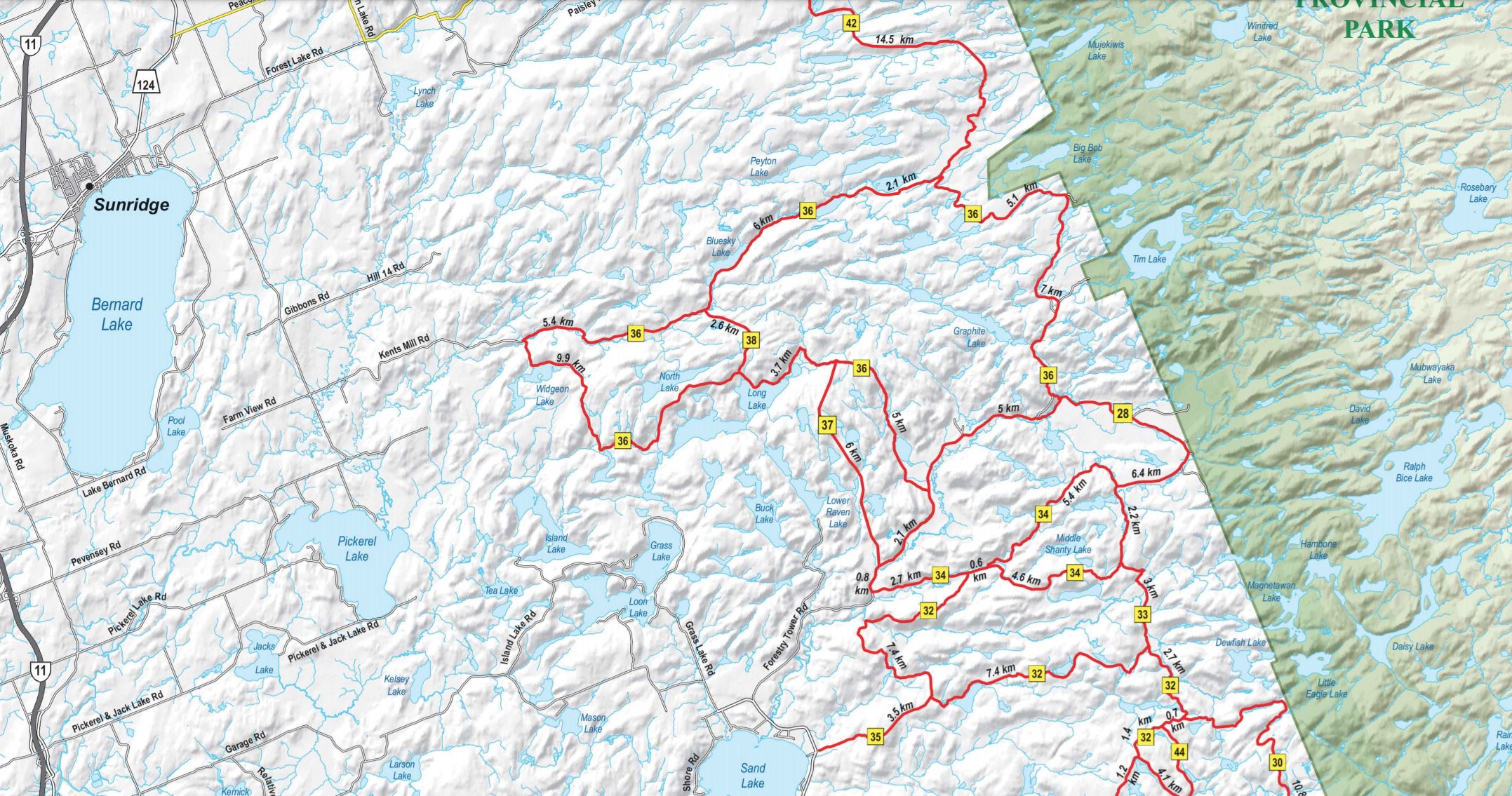
Route Map
The route below is the original route created by Tiago and pulled from his Ride with GPS page.
Our modifications were minor, starting at Lake Bernard Park on Saturday, heading west past 11, then looping back to our campsite from Burk’s Falls. For day 2 we drove down to Burk’s Falls, followed the loop east, ending the day at the southern tip of Lake Bernard.
Route Notes
Parking – For this one-day ride we parked at the corner of Ontario and Yonge St without issue. The town library at the corner of Copeland and Yonge, just to the east, also looks like an excellent option.
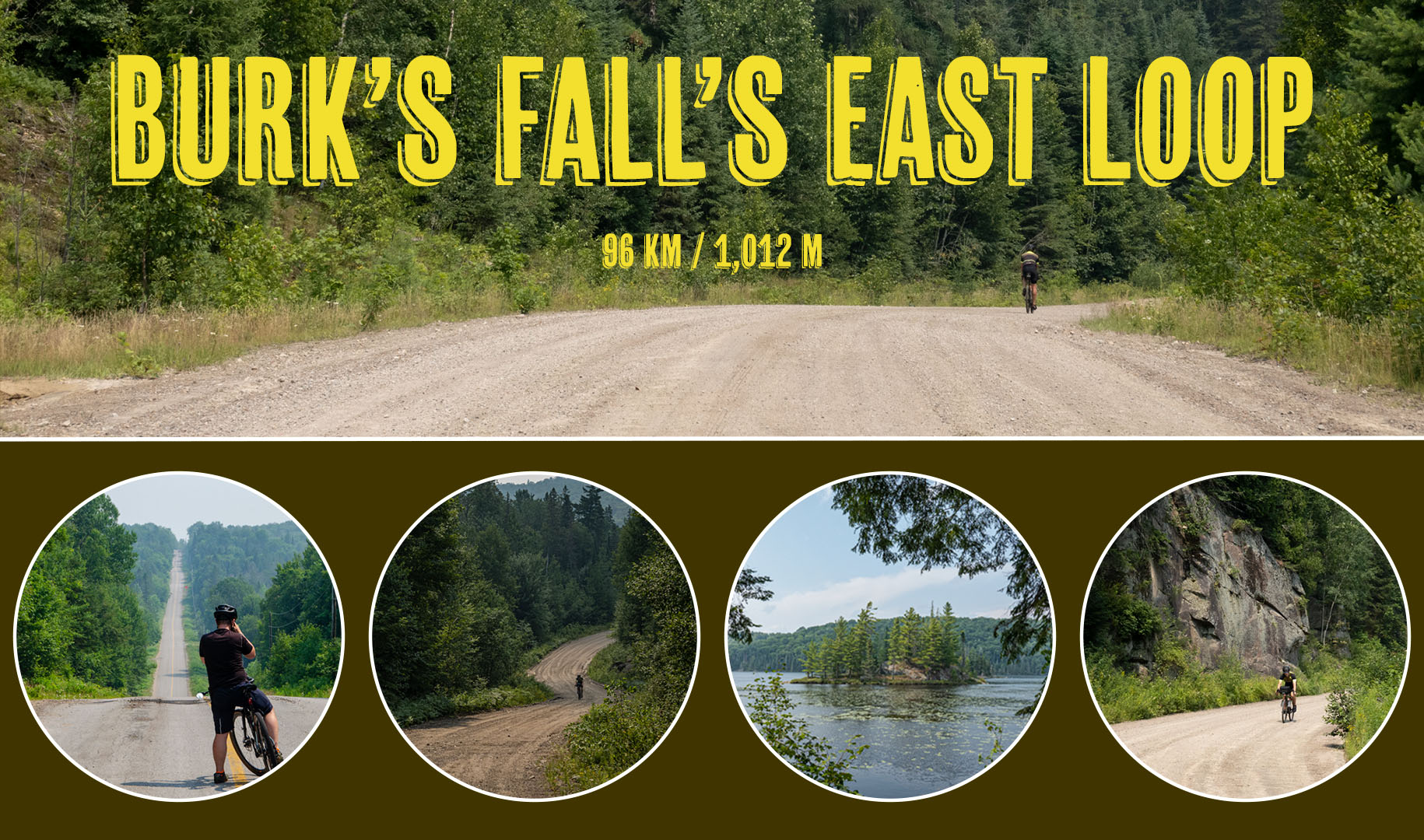
Elevation Profile – Cropping Tiago’s Route, Ride with GPS shows 810m over 93km. My Garmin measured 1,012m over 96km including a bit of backtracking to find my iPhone.
Speed Profile – After a fast start into Red Canoe restaurant, the route becomes quite technical at times, best suited for riders who enjoy exploring where few cyclists have gone before.
Route Profile – Roughly 55% asphalt, 25% of amazing gravel, and another 20% of epic ATV trail.
Safety Profile – Light vehicle traffic into Red Canoe, followed by 50km of true backwoods adventure.
Stores – Red Canoe Restaurant at 25km and Sundridge at 85km.
Crown Land Camping – Appears to be multiple options for stealth or crown land camping along Forestry Tower Roads and ATV trail 36.
Favourite Part – Forestry Tower and ATV Trail 36 were epic.
Least Favourite Part – Recovering from a wet chamois and the worst saddle burn I’ve ever had.
My Stats – 97km, 1,010m climbing, 6:08 total time (not including lunch), 4:50 moving time, 20.1km moving speed.
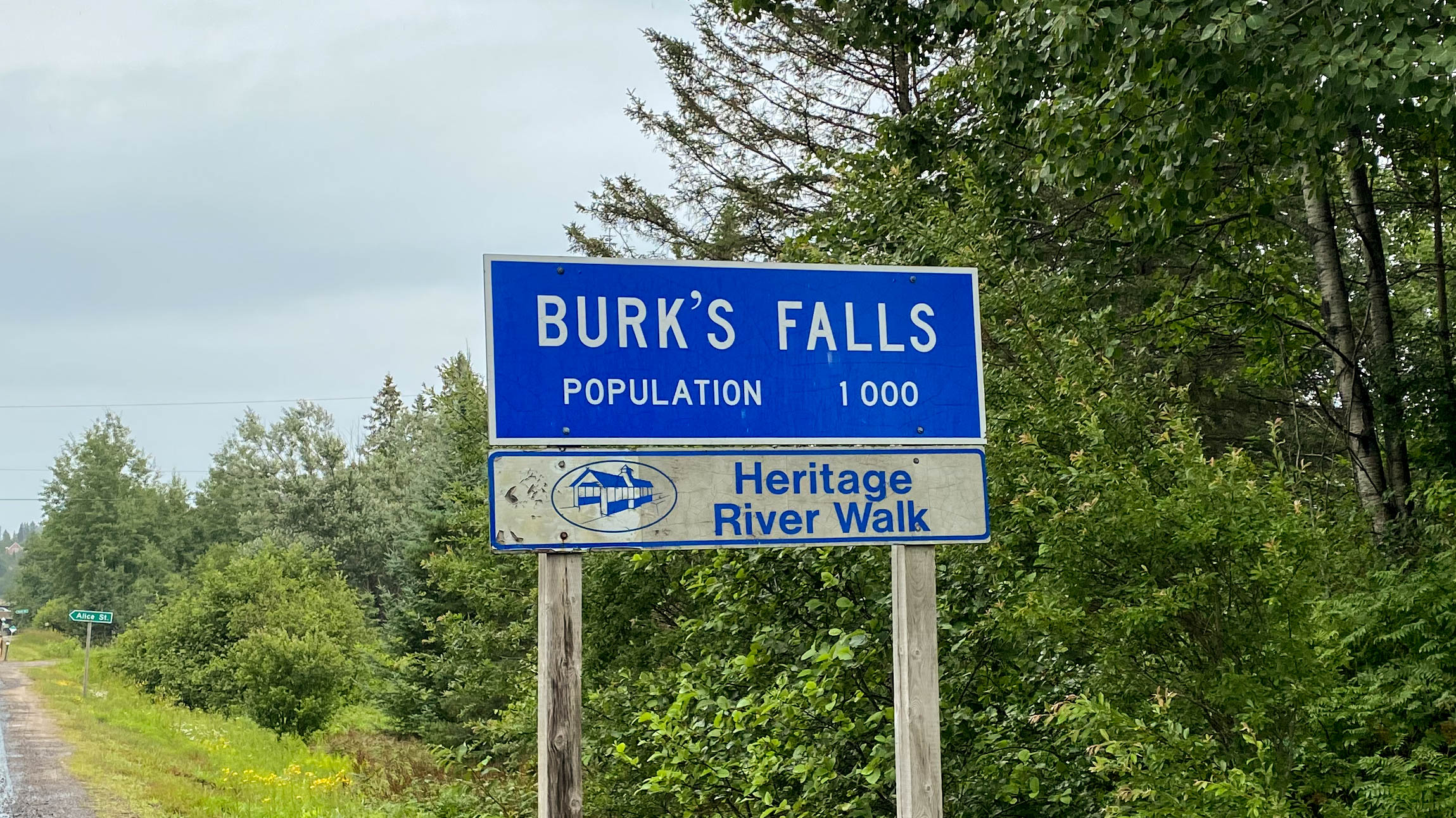
Burk’s Falls to Red Canoe Restaurant – Kms 0-25.5
Burk’s Falls is located directly off Hwy 11, about thirty minutes north of Huntsville.
As I mentioned before, this story is about day 2 of our two-day adventure on the Burk’s Falls Loop.
Day 1 was simply okay, with a bit of gravel, lots of roads, and way more traffic than either of us would have liked. A good route if I lived here, but not one I would travel 2.5 hours to ride again.
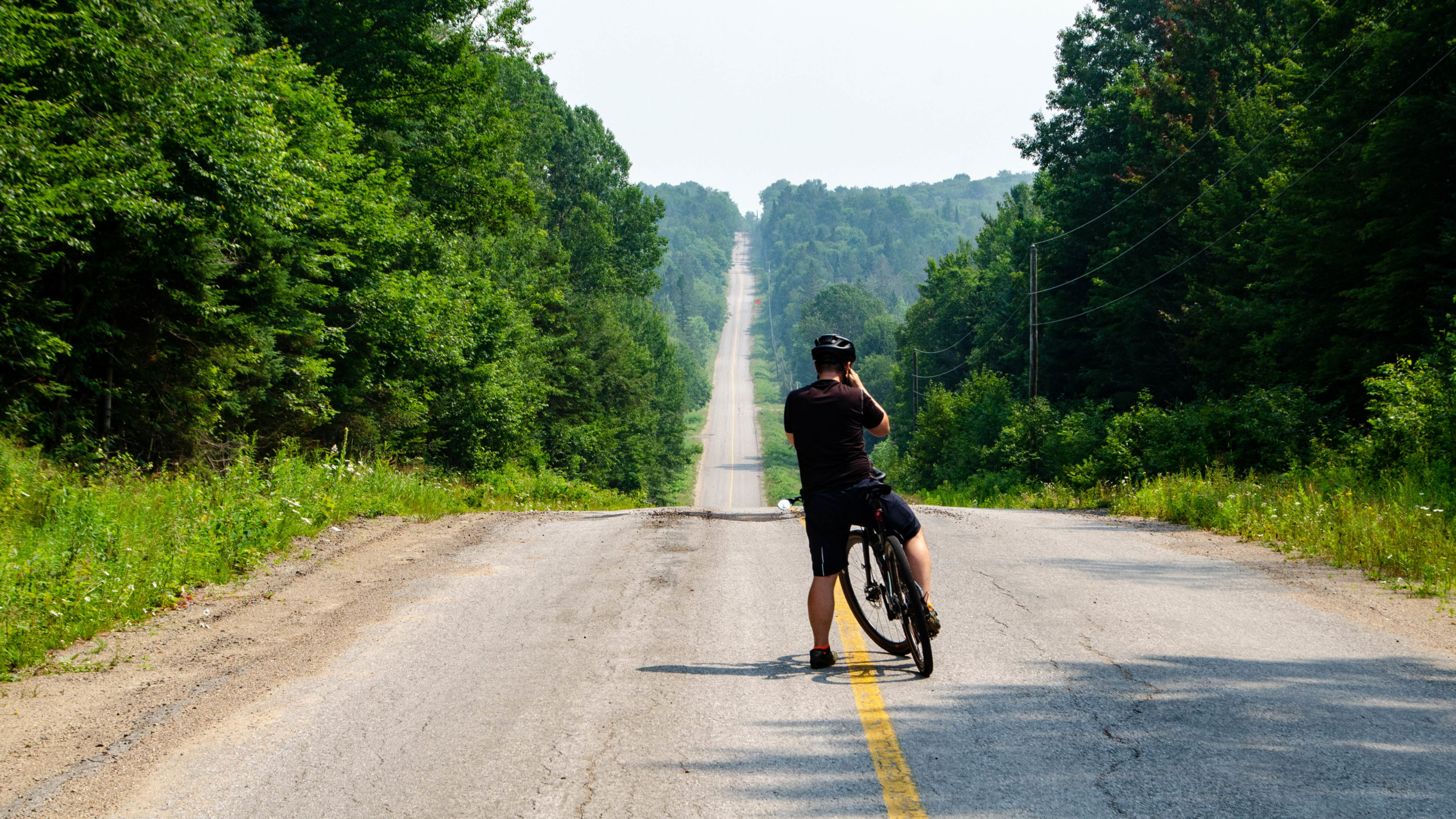
Day 2 started with more of the same.
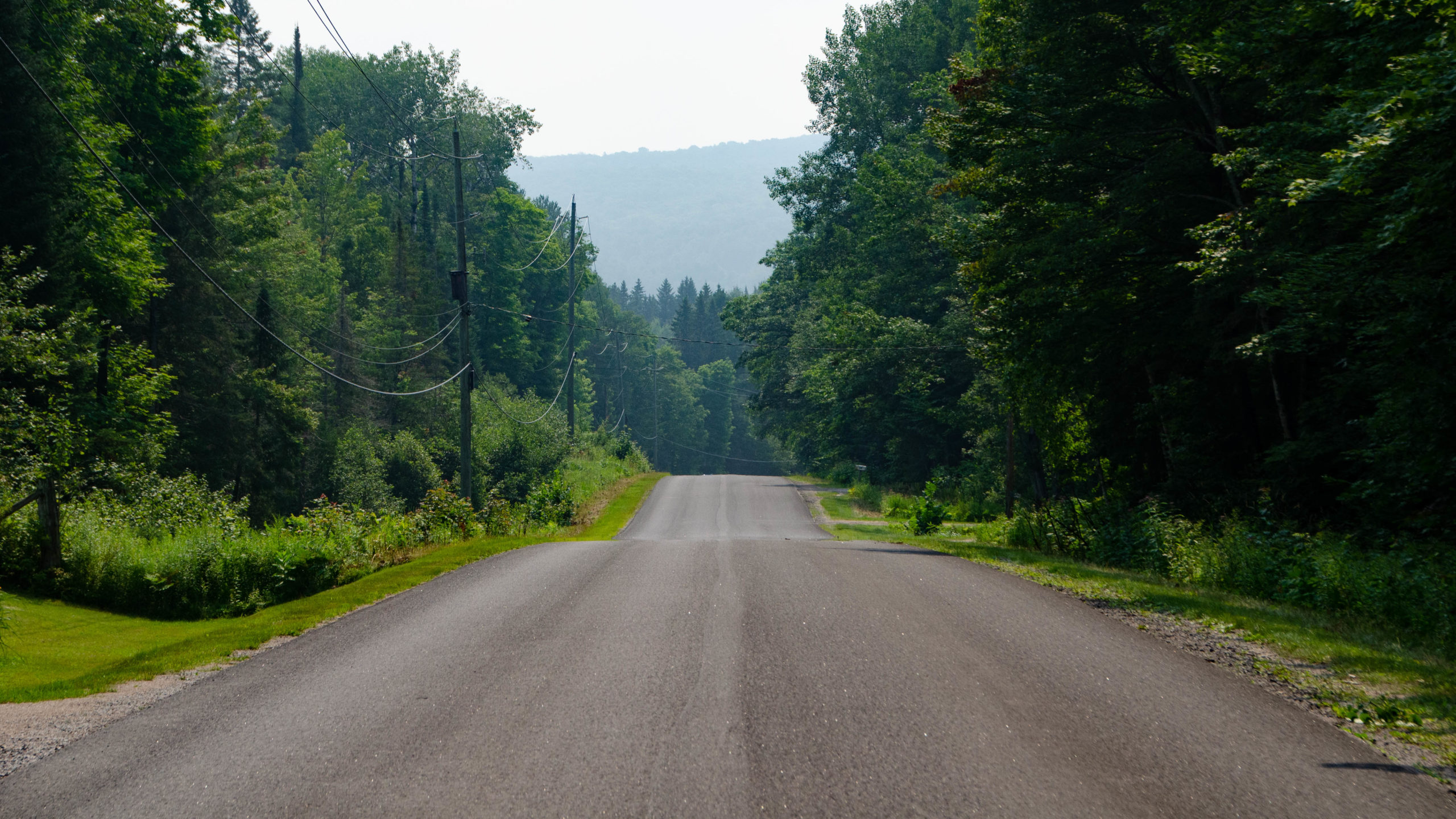
The asphalt ended about twenty minutes in, and our hopes for true adventure started to run high.
The excitement, like the gravel, was short-lived.
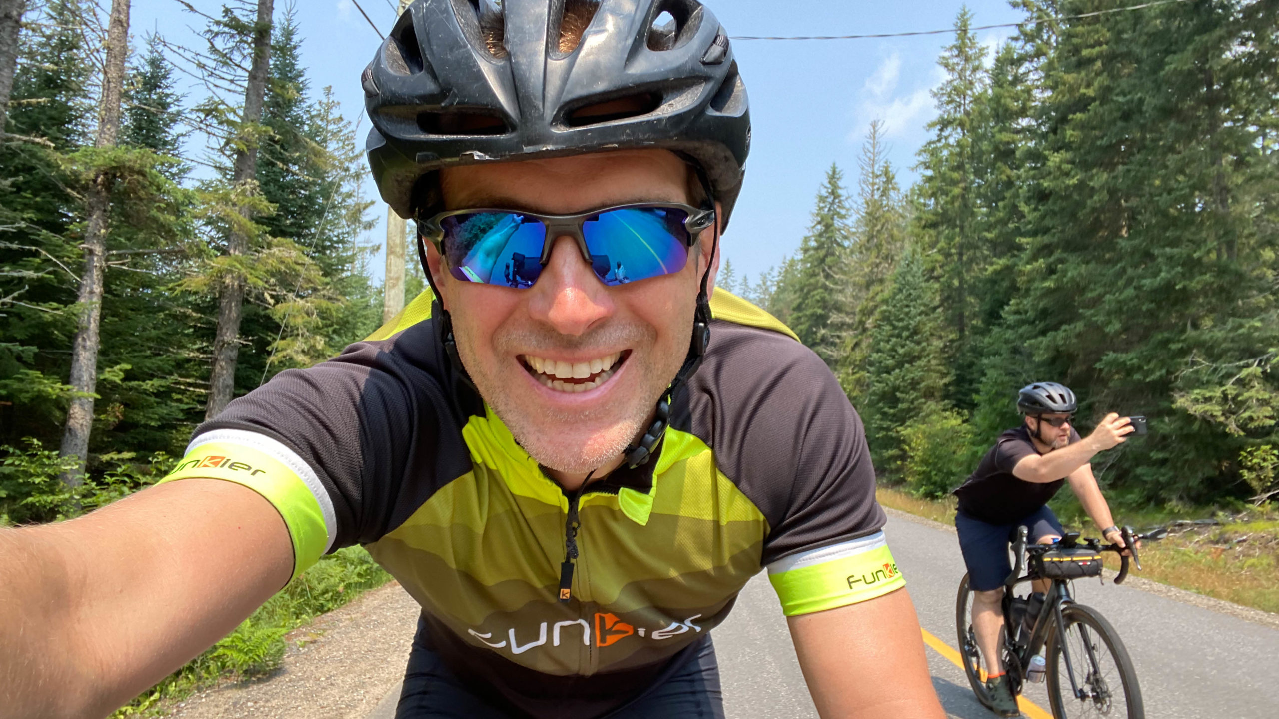
Selfie time on the Burk’s Falls Loop.
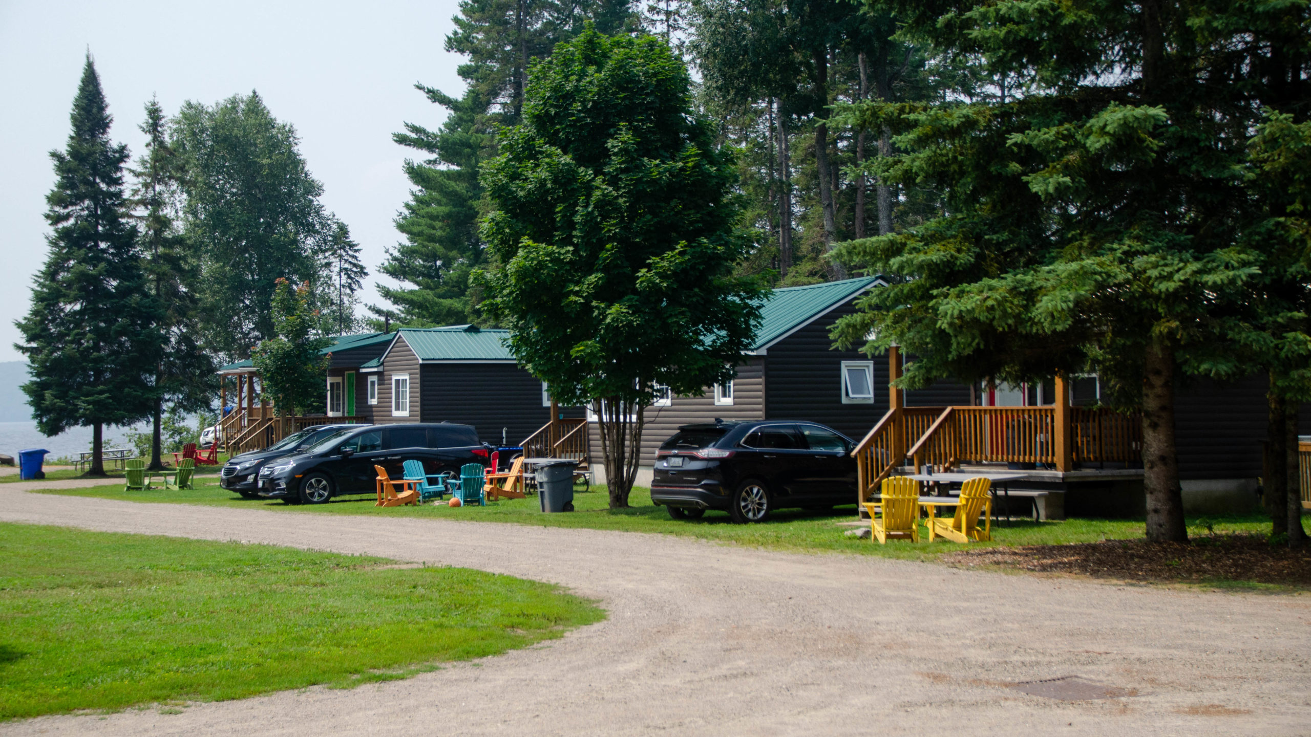
About 25km in we reached our lunch stop, Red Canoe Restaurant at Edgewater Park Lodge on Sand Lake.
The Lodge was excellent, the service was great, and the food even more so, definitely worth the stop.
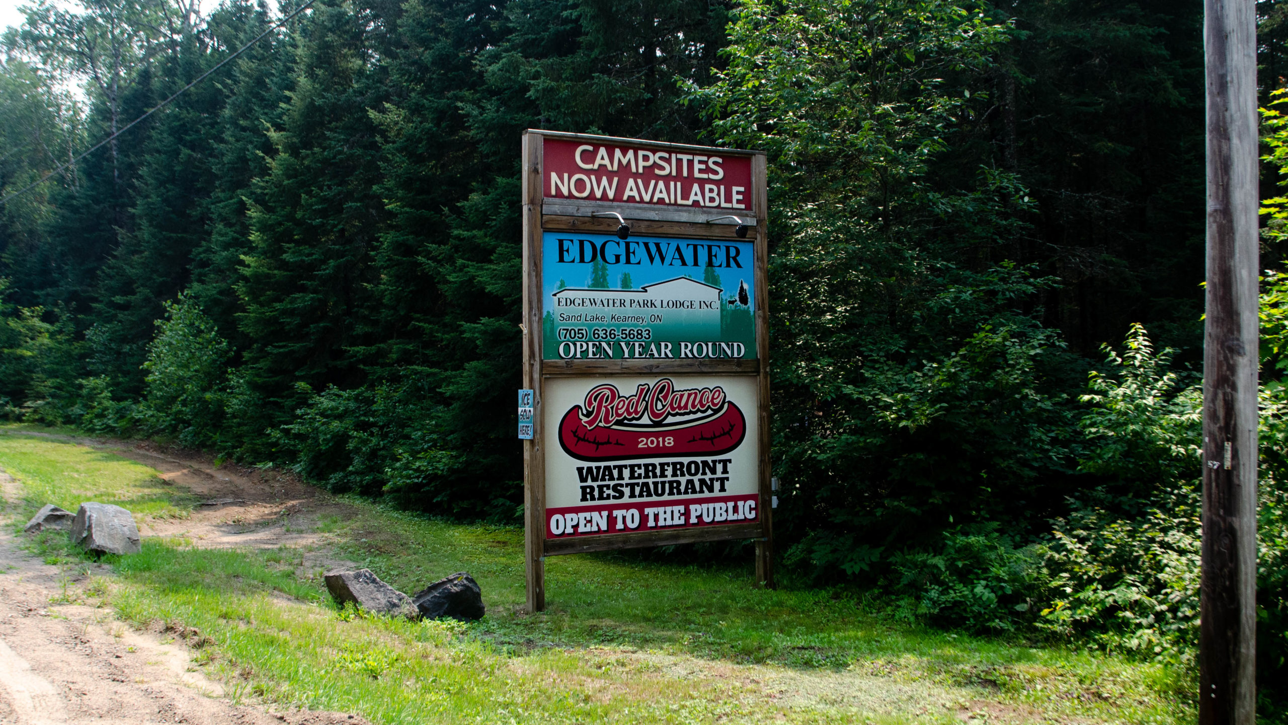
If you can find a spot, the grounds were beautiful, with lots of quaint cottages and camping as well. Unfortunately, it sounds like they’re fully booked into October.
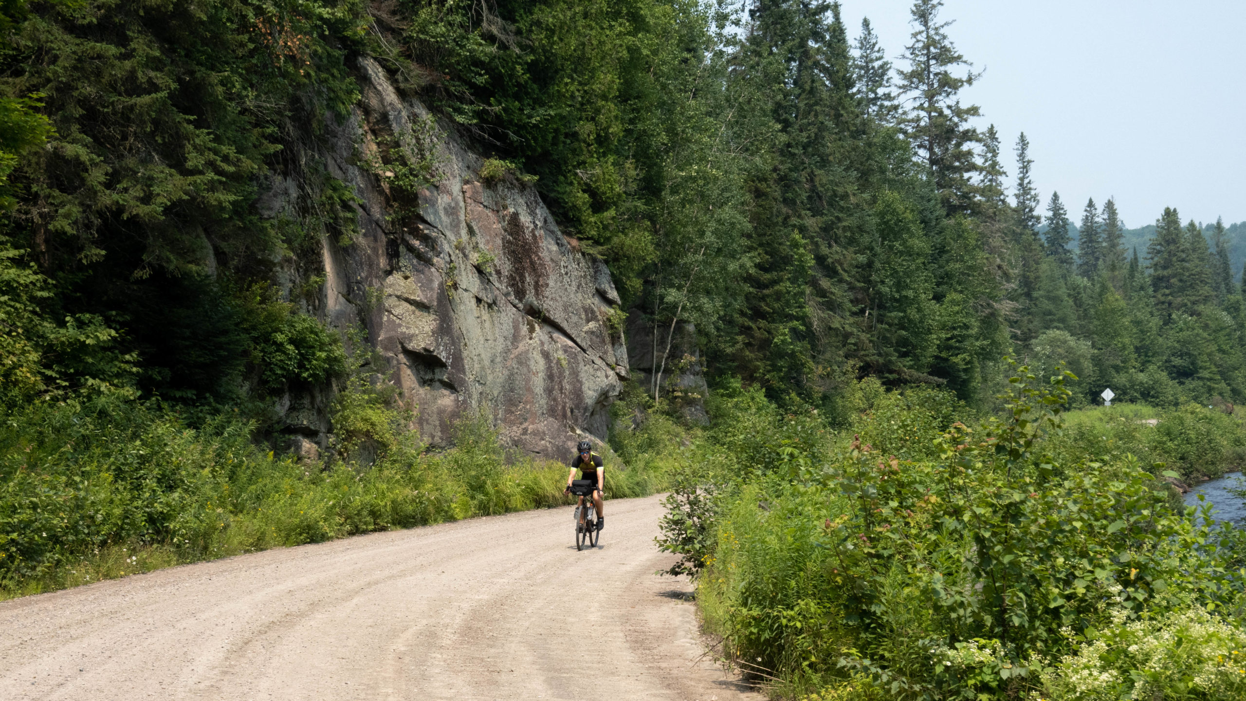
Burk’s Falls Loop – Forestry Tower Road – Kms 27-40
By the time we left Red Canoe morale was low.
Yesterday was simply okay with way more traffic and pavement than we hoped, the first 27km today wasn’t much better.
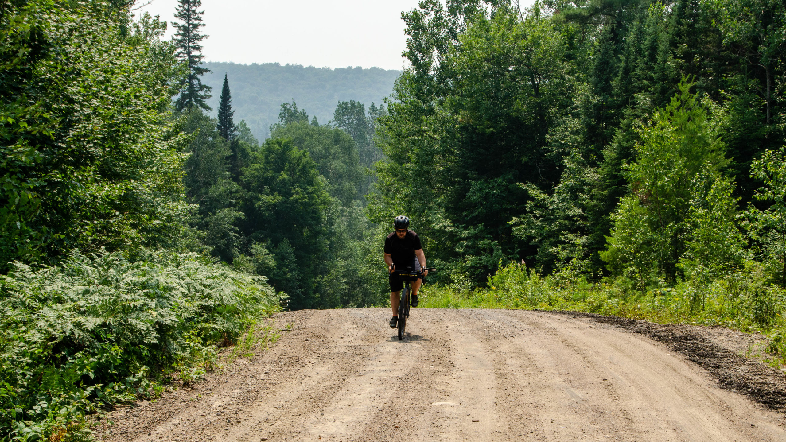
With the turn onto Forestry Tower Road, the route did a complete 180 with some of the best backwoods riding available in Ontario.
Forestry Tower is quite possibly the best gravel road I’ve come across, with epic Views, wide-open roads, stealth camping, all on a slow gentle climb up to ATV Trail 36.
Passing one of my favourite photo spots on the Burks Falls Loop.
My only frustration, as we passed this rock, I took out my newly purchased GoPro, set it up, filmed multiple passes, only to come home and discover that each and every file was somehow corrupted.
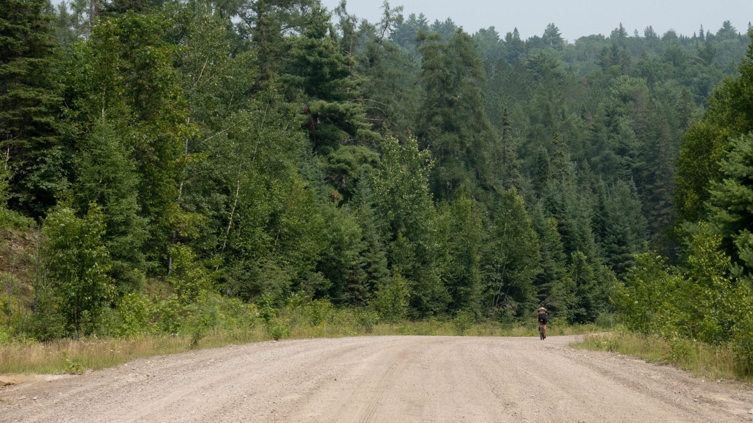
Burk’s Falls Loop – ATV Trail 36 to ATV Trail 42 – Kms 40-52
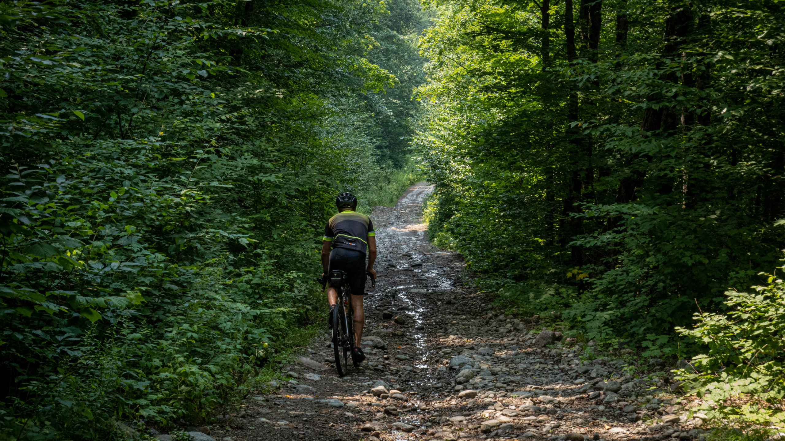
With the turn onto ATV Track 36 off Forestry Tower Road, the true test of our abilities began.
12kms of epic no winter maintenance type roads, big climbs, rocky descents, and lots of puddles.
Basically everything you can ask for when cycling deep into the backwoods of Ontario.
ATV Track 36 comes at you with a bang, climbing a little over 100m in the first couple of km, with the brunt of it coming early.
The best part about any good climb, the view from the top.
We passed at least one piece of prime crown land camping and multiple other places that would do.
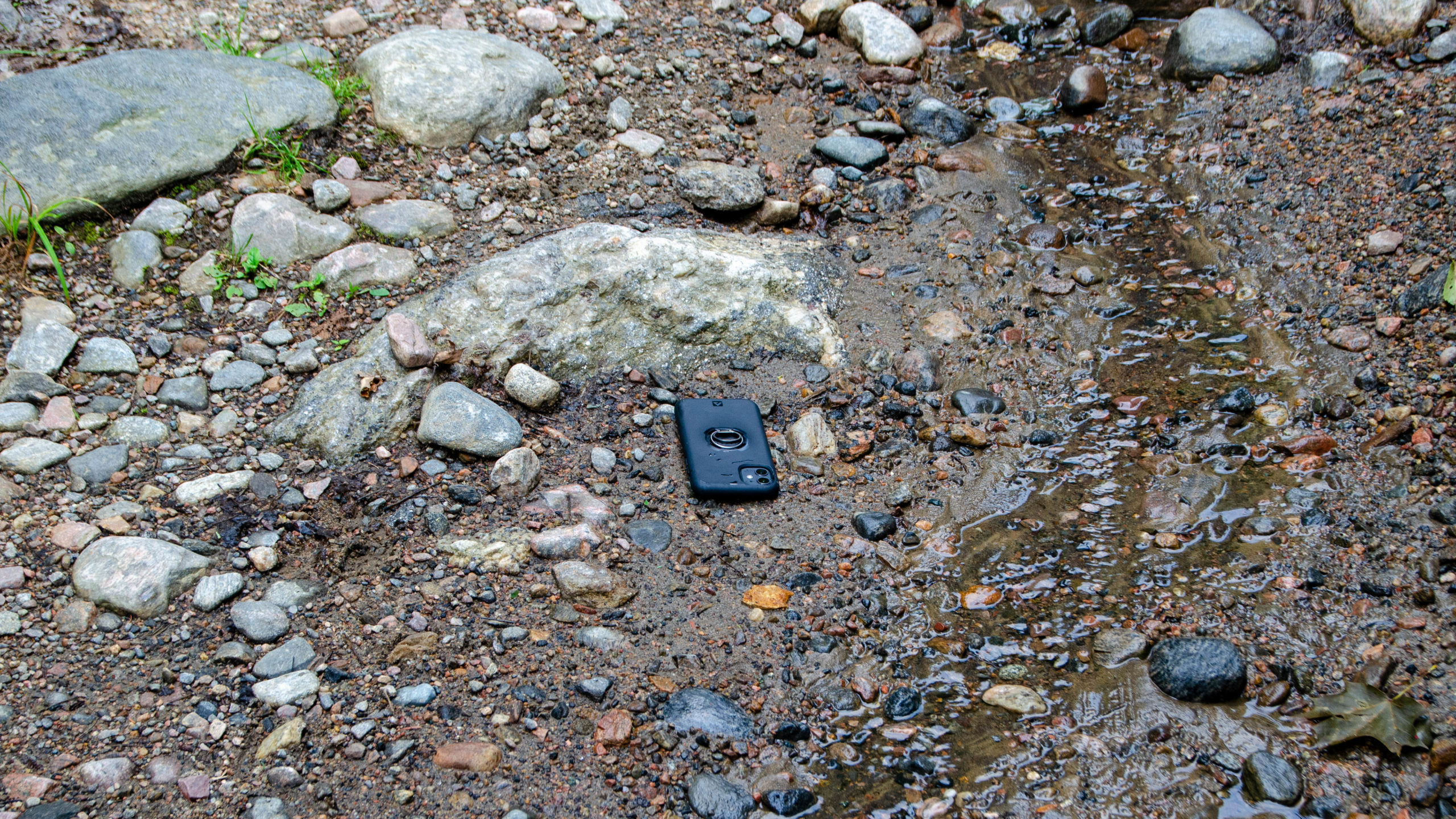
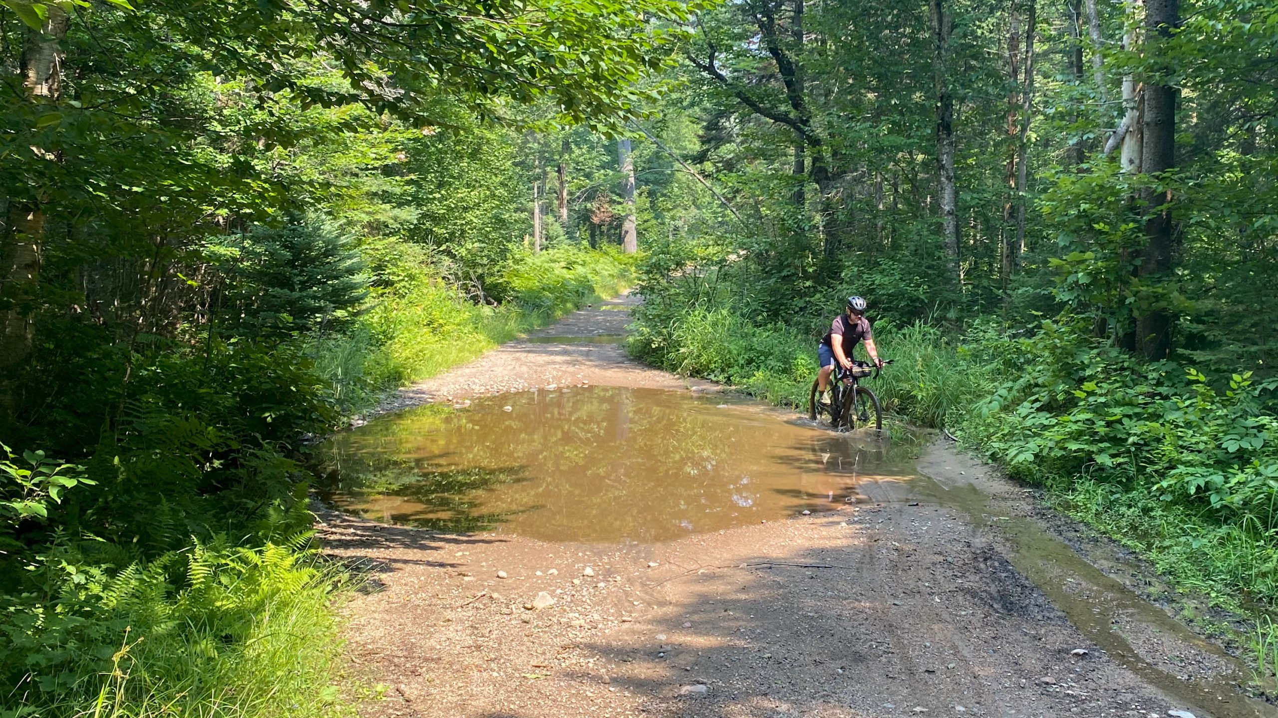
ATV track 36 was relentless with endless puddles and rocky descents.
So rocky that my iPhone popped right out of my pocket.
A typical puddle on ATV track 36.
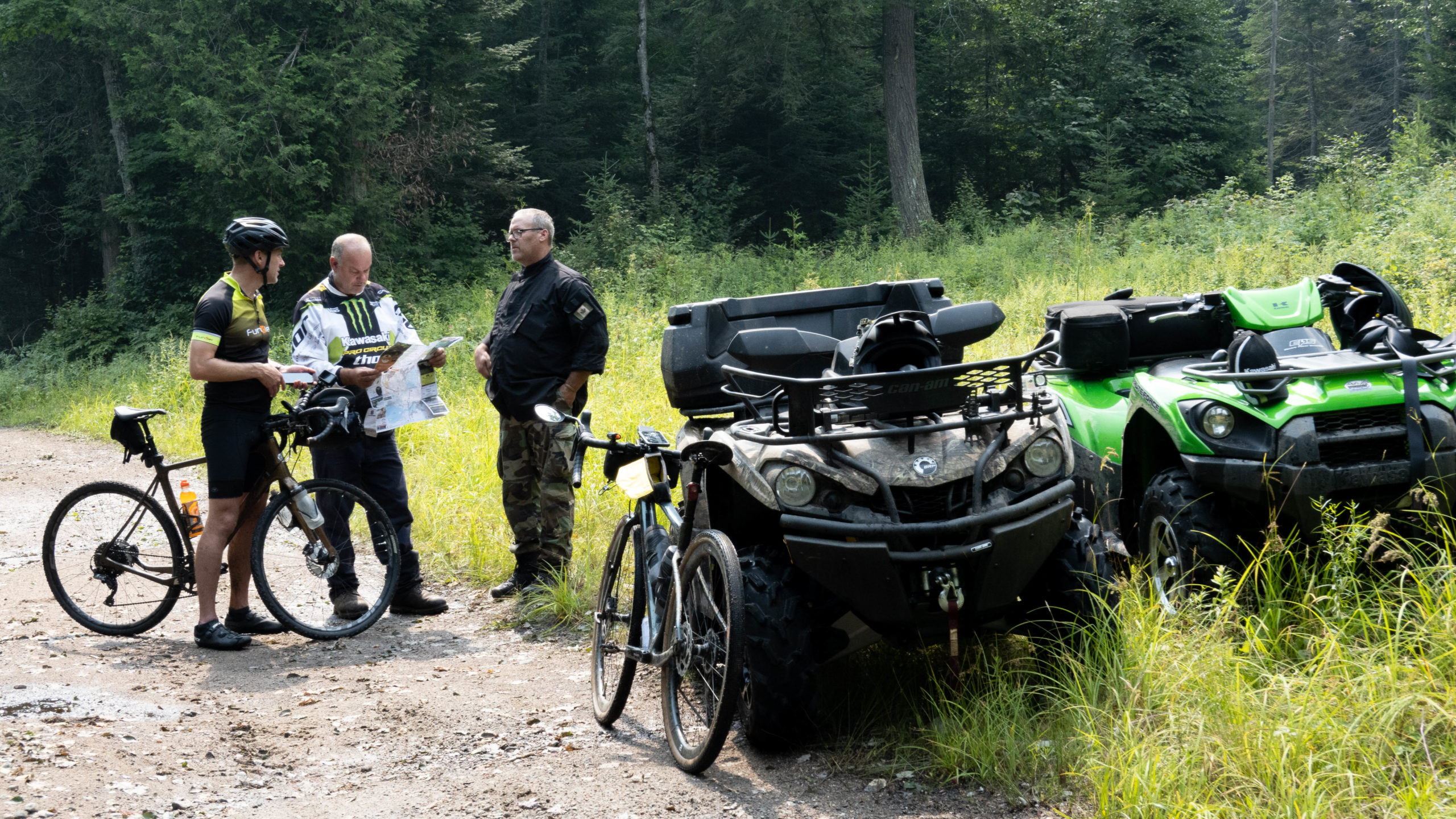
Meeting Lee and his friend were one of the highlights of the trip.
They’ve been riding these trails for the past 37 years, and in those 37 years, we’re the first cyclists they’ve ever come across.
If you’re feeling a little adventurous and hoping to explore beyond the route itself, do note, they’d just turned back off Trail 42 when one of their ATVs got stuck in about 4 feet of unexpectedly deep water.
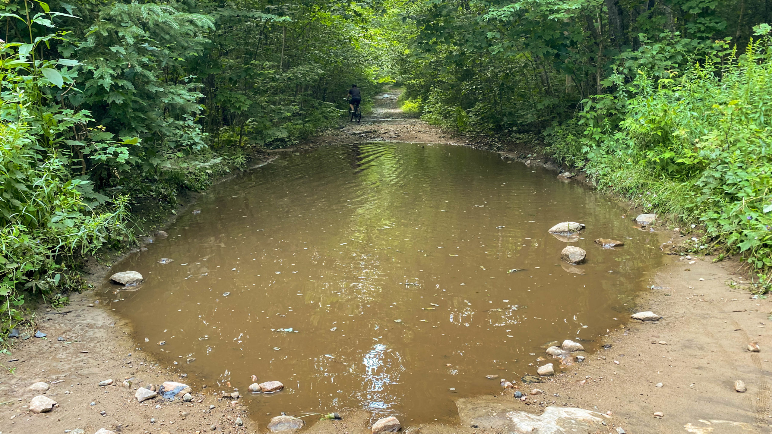
Some of the puddles were so big they felt like they should be named bodies of water on Google Maps.
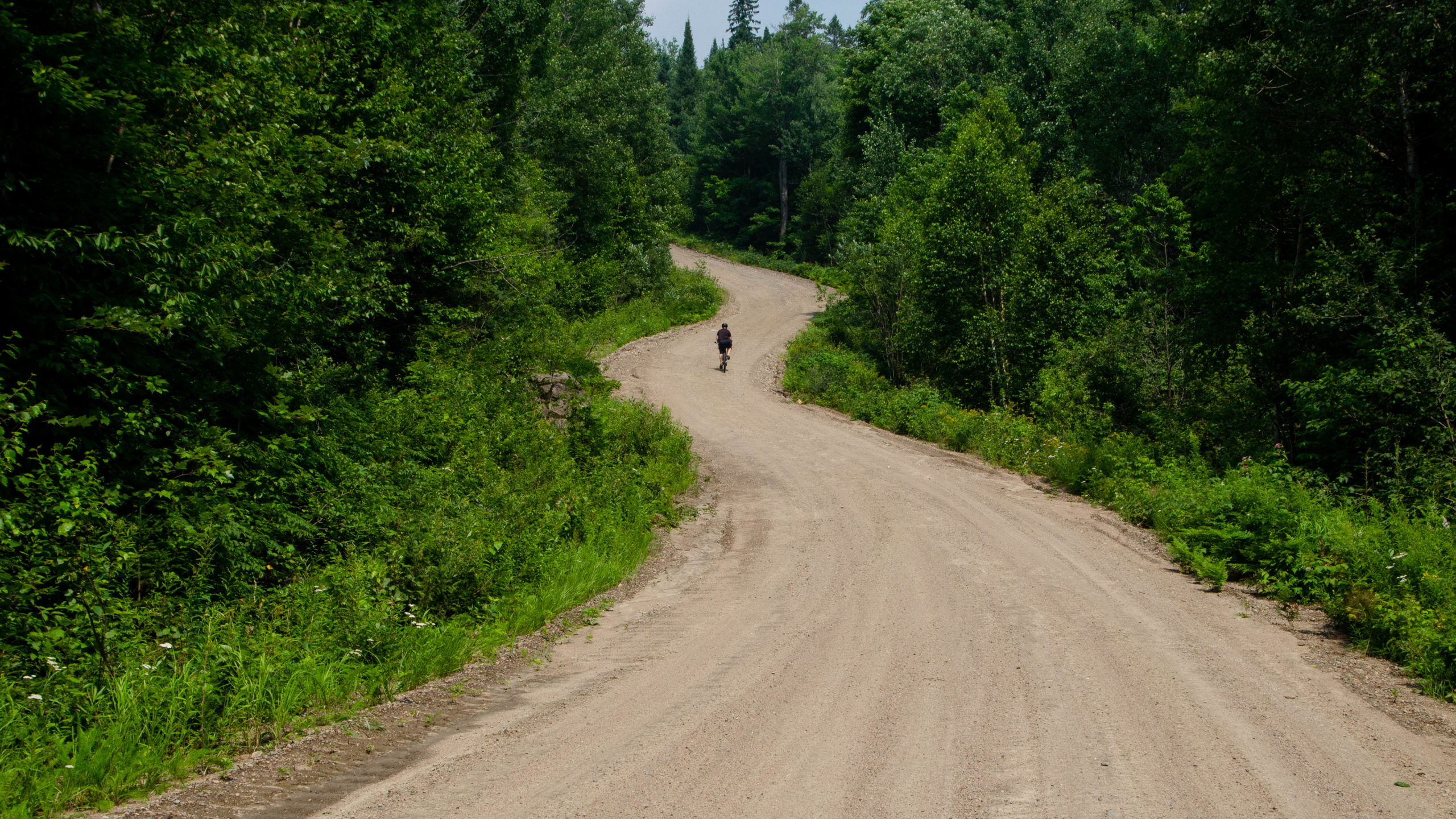
Burk’s Falls Loop – West of ATV Trail 42 to Pevensey Road – Kms 52-72
As we reached the branch to trail 42, the 12km technical stuff ended, followed by 20km of mainly dirt and gravel roads.
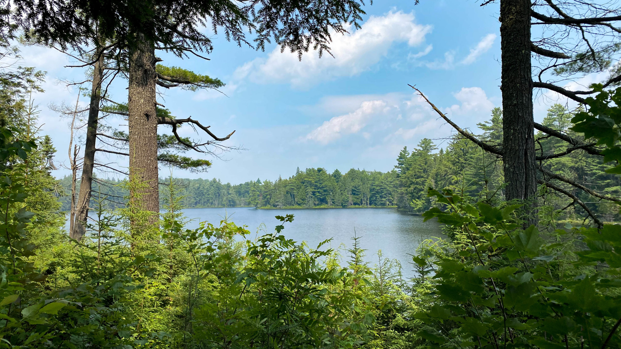
One of the many beautiful untouched, unnamed lakes, seen along the way.
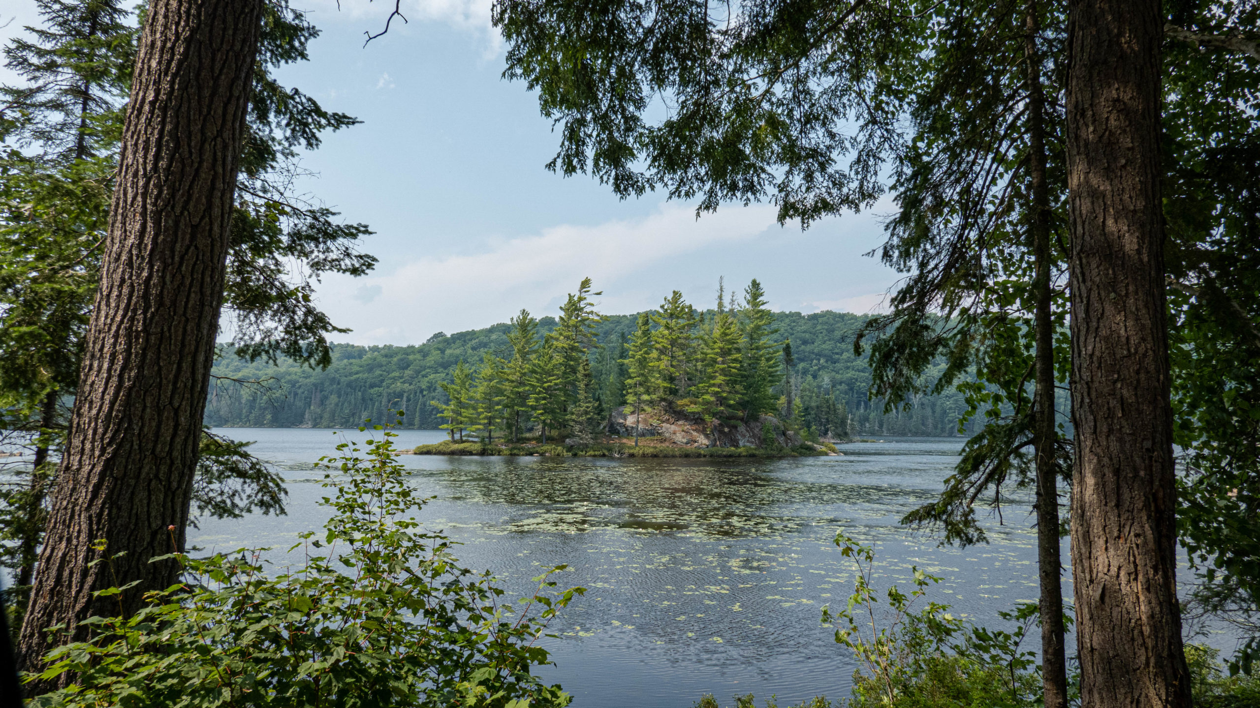
Lakes, high-security hunting lodges, and not much else.
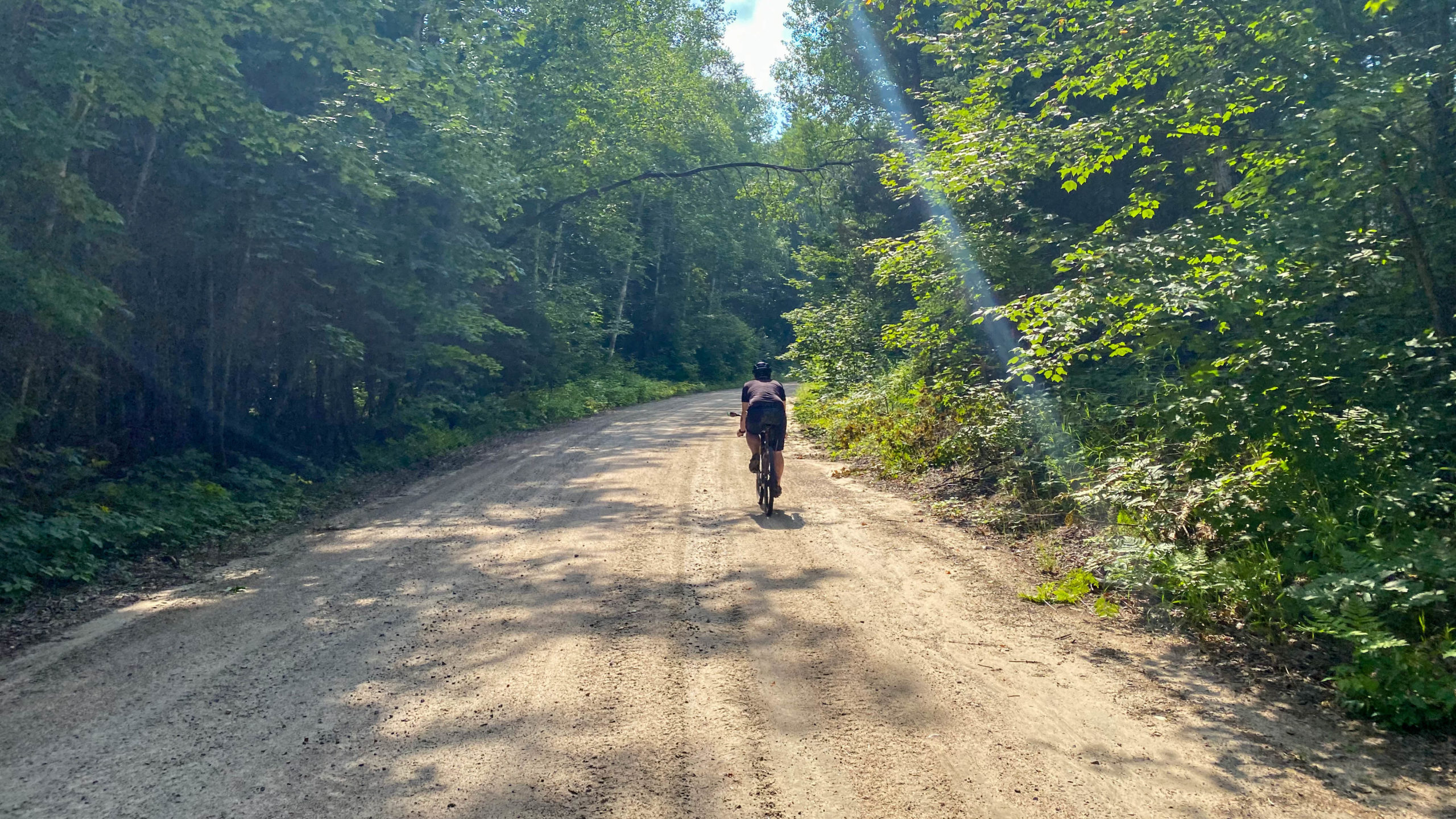
Still on the dirt about 6km out from Forest Lake Road and the turn north into Sundridge.
Burk’s Falls Loop – Looping around Bernard Lake – Kms 72-93
50km of epic dirt, gravel, and ATV track later, we were happy to get back on some easy riding asphalt for the final push back to the park.
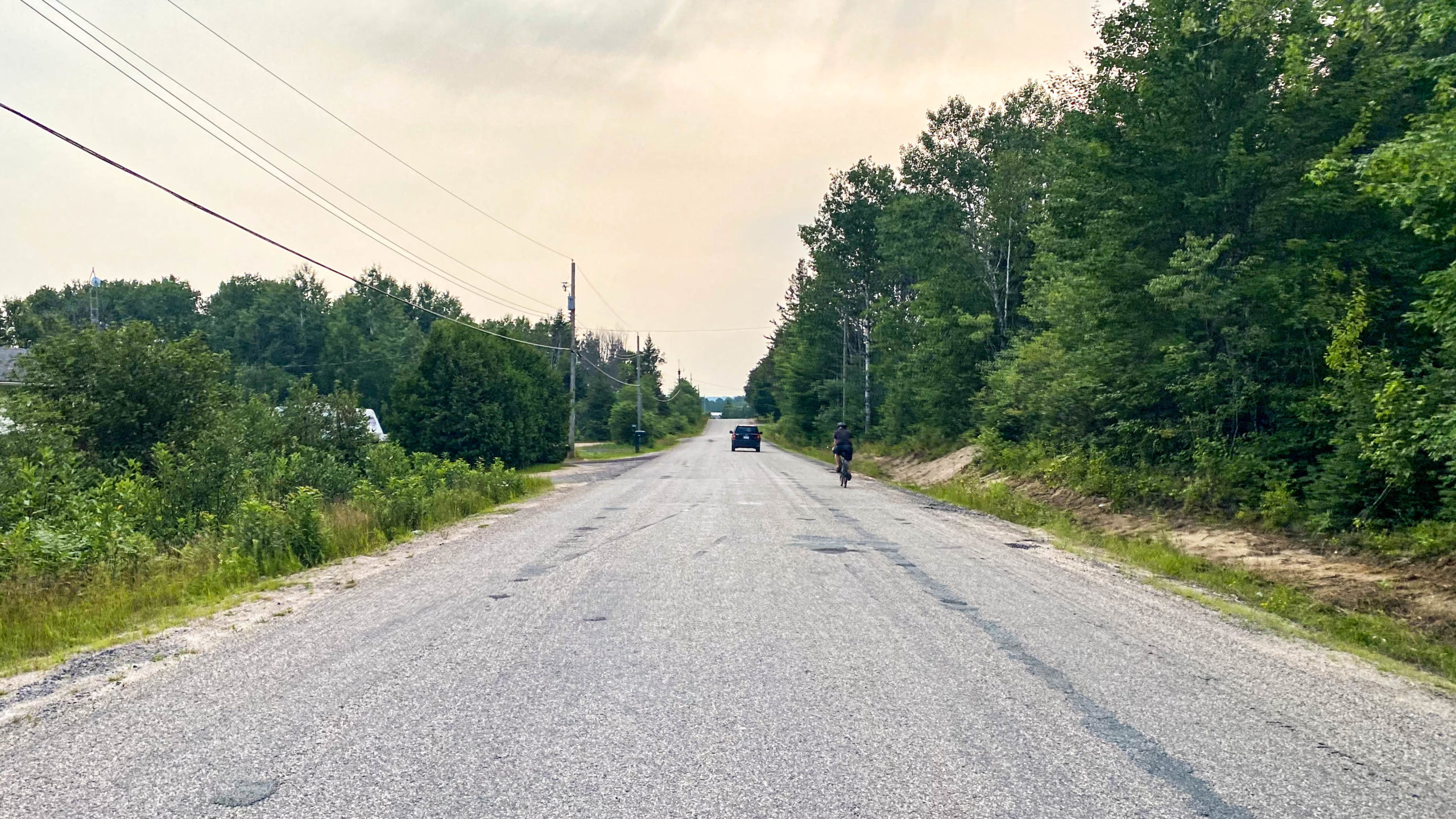
The Town of Sundridge was our first pit stop since the 25.5km mark at Red Canoe.
If you are choosing to run the full route, it’ll also be your last chance to rest and refuel until Magnetawan about 40km later.
Burk’s Falls Loop Final Thoughts
The Burk’s Falls Loop east of 11 is an epic ride that will both challenge you and reward you, with some of the best trails and views to be found in Ontario.
Would I recommend it? Definitely, at least the parts east of 11. As for the parts west, I’m not so sure, it really depends what you came here for, the riding was okay, but not an epic gravel ride, with way too much highway riding.
If I did it again, I’d probably stick to the parts east of 11, with a quick stop at Screaming Hands just outside of Burk’s Fall on my way home.
All that said, I do think there is a lot of potential for something truly epic here, especially with all the unexplored ATV trails just waiting to be explored.
Thanks for reading,
Cory
Disclaimer – All opinions expressed on this blog are my own and are based on my experiences researching and riding various gravel and bikepacking routes. These routes are unsupported, unmaintained, and unsanctioned. Anyone attempting these routes should do their own due diligence to ensure the route files are current, that they’re not crossing private property and that the route and conditions are within their own abilities. Everyone’s riding abilities are different and extreme caution should be used when attempting any new routes as route conditions are constantly changing. I also do not guarantee that the information I’ve shared is up to date. You are responsible for your own safety, and I accept no responsibility for any injuries or property damage that may occur if you decide to attempt these adventures on your own.
Nicely done, I feel like you described the experience perfectly. Yes, we had rain and perhaps an unusual amount of traffic on the west loop but I feel like the east loop is the real gem and the west I can do without. However, as Tiago mentioned if you are planning to do this full loop in the fall I can see how the west loop could be a nice addition to the overall ride. I enjoyed both reads so thank you for putting this together, I had a great time despite the rainy weekend.